12 Mile Delta
| Rating: | |||||||||||||||||||||||||||||||
|---|---|---|---|---|---|---|---|---|---|---|---|---|---|---|---|---|---|---|---|---|---|---|---|---|---|---|---|---|---|---|---|
| | Raps:2, max ↨20ft
Red Tape: Shuttle: | ||||||||||||||||||||||||||||||
| Start: | |||||||||||||||||||||||||||||||
| Parking: | |||||||||||||||||||||||||||||||
| Condition Reports: | |||||||||||||||||||||||||||||||
| Best season: | Nov-Mar
|
||||||||||||||||||||||||||||||
| Regions: | |||||||||||||||||||||||||||||||
Introduction[edit]
This is a guided canyon. Expect to see some fixed ropes and even carabiners left in spots. Do not remove any of the gear! Please be respectful if you come across a guided group.
A nice day if you're spending some time in Queenstown. A very easy and accessible canyon that can be done in under an hour.
Approach[edit]
Park in the far west of the campsite beyond the camping area. Marked on Google Maps as Ithilien Camp (which is a location from Lord of the Rings). Don gear here.
If you encounter a commercial group at any stage on the approach or in the canyon, engage positively with the guides. If at all possible, consider delaying until they are finished.
From the carpark walk westwards to join and follow Bob's Cove Track to the bridge.
There is a water level indicator in the pool under the bridge. To see the indicator, just before the bridge (East side, river left), scramble 5 metres or so uphill and look down into the pool river right. There are clear indicators on the height level. Form your own judgement.
Cross the bridge and almost immediately hike up the canyon right side of the creek. The trail is well-tracked and marked by orange tape on trees. You'll cross under one zip line and keep heading up the trail. Once you reach the second zip line, head down to the start of the canyon.
Descent[edit]
Commercially equipped, so there's hardware a-plenty.
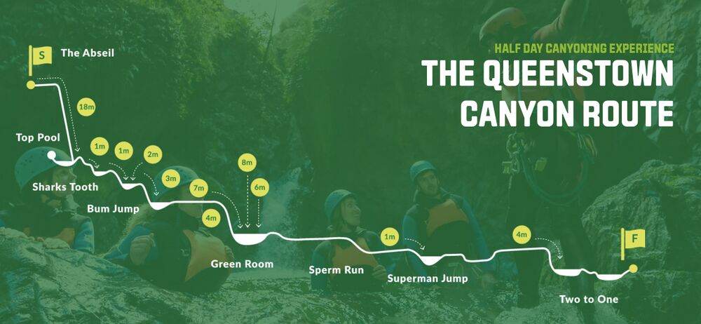
There's a topo at the link below, but just work it out. Note that the canyon can get somewhat aquatic in higher water - don't underestimate it.
Exit[edit]
Exit canyon left and back to the car.

