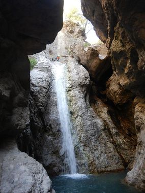
Cam Dedaj
Jump to navigation
Jump to search
| Rating: | |||||||||||||||||||||||||||||||
|---|---|---|---|---|---|---|---|---|---|---|---|---|---|---|---|---|---|---|---|---|---|---|---|---|---|---|---|---|---|---|---|
| | Raps:12, max ↨131ft
Red Tape:No permit required Shuttle:None Rock type:Piedra caliza | ||||||||||||||||||||||||||||||
| Start: | |||||||||||||||||||||||||||||||
| Parking: | |||||||||||||||||||||||||||||||
| Condition Reports: | |||||||||||||||||||||||||||||||
| Best season: | May and Sept. (avg for this region)
|
||||||||||||||||||||||||||||||
| Regions: | |||||||||||||||||||||||||||||||
Introduction[edit]
Approach[edit]
From the waterfall parking you can either follow the stream (which will be your exit) until you meet a faint trail on the left and take it up to the top of the bank or walk the road back into town and follow the well defined and marked trail from the road above the church. As of 2025 the canyon “trail” pretty much didn’t exist as far as we could tell and walking into town and then up behind the church would have been both faster and significantly more pleasant.
Once on the trail follow the red/white/red blazes for 750m up a fairly steep trail until the stream crosses the trail. This will be the start of the canyon.
