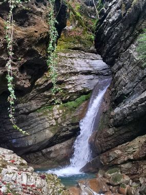
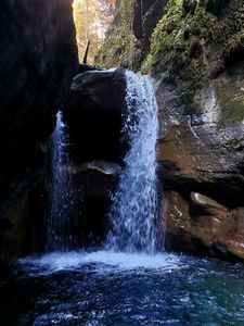
Chauderon
Jump to navigation
Jump to search
Also known as: Gorges du Chauderon, Baye de Montreux.
| Rating: | |||||||||||||||||||||||||||||||
|---|---|---|---|---|---|---|---|---|---|---|---|---|---|---|---|---|---|---|---|---|---|---|---|---|---|---|---|---|---|---|---|
| | Raps:9, max ↨49ft
Red Tape: Shuttle:None Rock type:Flysch | ||||||||||||||||||||||||||||||
| Start: | |||||||||||||||||||||||||||||||
| Parking: | |||||||||||||||||||||||||||||||
| Condition Reports: | |||||||||||||||||||||||||||||||
| Best season: | Summer to Autumn
|
||||||||||||||||||||||||||||||
| Regions: | |||||||||||||||||||||||||||||||
Introduction[edit]
Well known canyon amongst non canyoning people as it ends immediately in the city of Montreux. Short and easy, definitely a good option for initiations.
Approach[edit]
There is a path going along the canyon pretty much all the time. Enter at the bridge at 810m above sea level.
Descent[edit]
First part has 4 rappels then another one a bit further down. After this, better go back to the hiking trail and enter again more than 2km further, from the bridge at a height of 535m above sea level. There the canyon gets slightly more interesting, but is also really short.
Exit[edit]
When being under the big Highway bridges, walk up to the path before the river reaches the first buildings.
Red tape[edit]
Beta sites[edit]
 SwissCanyon.ch : Chauderon
 SwestCanyon.ch : Chauderon

