Emerald Canyon
| Rating: | |||||||||||||||||||||||||||||||
|---|---|---|---|---|---|---|---|---|---|---|---|---|---|---|---|---|---|---|---|---|---|---|---|---|---|---|---|---|---|---|---|
| | Raps:10 raps, up to 10 jumps, 3 slides, max ↨80ft
Red Tape: Shuttle:None | ||||||||||||||||||||||||||||||
| Location: | |||||||||||||||||||||||||||||||
| Condition Reports: | 23 Nov 2023
"My wife and I recently completed Emerald Canyon on Maui. The canyon was spectacular, but I wanted to share our experience to possibly get insights fro |
||||||||||||||||||||||||||||||
| Best season: | All year;NOT in After
|
||||||||||||||||||||||||||||||
| Regions: | |||||||||||||||||||||||||||||||
Introduction[edit]
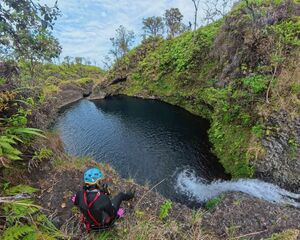
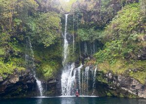
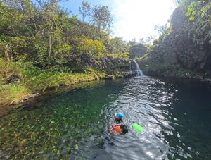
Emerald Canyon is a true Hawaii classic, one of the best canyons in the state and certainly one of the most fun canyons in the entire US! Tons of jumps, swims, stunning waterfalls, and a scenic bushwhack make this one a must-do for any canyoneer coming to Maui. The water is usually crystal clear, making scouting for jumps quite straightforward. Most rappels are just outside the flow, unless there is very high water, and there are no dangerous or unavoidable hydraulics.
As with most Hawaiian canyons, heavy rain can fall upstream of the canyon despite the canyon itself being sunny, leading to surprise flash flooding. This canyon does have many escape points, but please be cognizant of weather forecasts and avoid rain or periods just after rain.
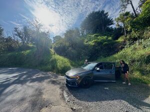
Additionally, locals are against canyoneers being here. They say canyoneers contaminate 'their' drinking water. Funny enough, this canyon often has dead cows and pigs floating in its pools - 'their' drinking water is far more contaminated from introduced livestock than the few canyoneers that come here. Remember, this canyon is completely legal and 100% public land, and locals have no legal basis to tell you to not be here. However, it's unwise to park your car at the trailhead. If you do, don't leave anything inside. It's safer to either get dropped off, or park at the wayside a mile west on the Hana Highway and walk/hitchhike to the trailhead.
Approach[edit]
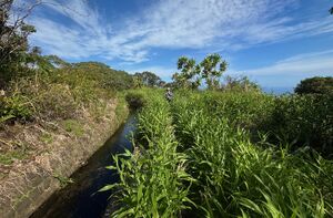
From the trailhead walk up the steep and slippery slope around a gate (which may or may not be locked) to an irrigation canal. Follow the irrigation canal, along a somewhat overgrown track, until branching off uphill onto a small track. Use the GPS track on this page.
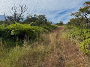
Walk uphill on this grassy track for around 20 minutes until it appears to end at a white PVC pipe. Now the real challenge begins!
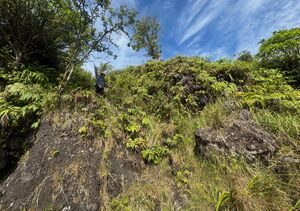
Step over the PVC pipe and continue uphill for just a minute or two. On the left side (east side) there will be a faint track, perhaps with flagging, winding into some heavily overgrown brush. Follow this!
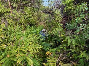
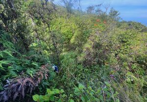
Over the next 45 minutes, the barely-visible track will take you over small hills, across a few ravines, and have you creekwalking through brush so thick you'll be standing in knee deep water unable to see your own feet! There aren't any sharp plants, but there are plenty of spiderwebs. Long pants and long sleeves, and a face bandana, are recommended. Use of the GPS track will certainly help quell your doubts of 'Is this really the trail?"
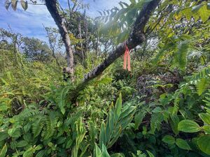
There are at least two spots with a handline in place to help. There should be old red flagging visible at times.
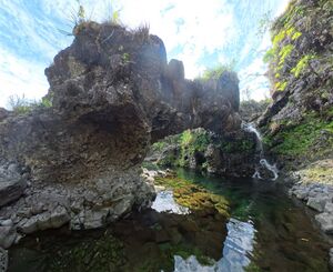
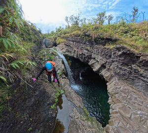
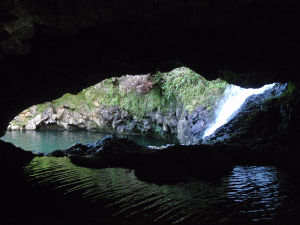
The bushwhack will abruptly end overlooking a heavenly pool with an arch. You've made it to a paradise canyon. Here, the route begins.
Descent[edit]
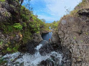
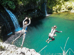
This descent is one of the most fun canyons anywhere! The canyon is a continuous sequence of around 12 rappels and 12 jumps.
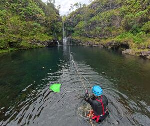
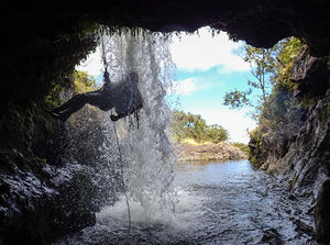
The highest rappel is about 80 feet - however, nearly every single rappel ends in a deep pool with a long swim, and you'll generally want to pull the rope AFTER swimming across each pool. Therefore, it's recommended to bring a 200 foot rope.
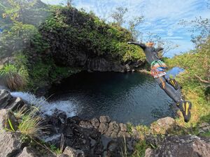
The highest mandatory jump is around 15 feet. The pools are generally crystal-clear, and scouting is usually easy. However, depending on sun glare, it can be tricky to estimate depth. It may be a timesaver to bring polarized glasses.
Unless very high water, there are no dangerous hydraulics. At almost any flow, scary hydraulics are avoidable. The canyon is wide enough to walk around most scary aquatic hazards. Some rappels deposit into the skirt of waterfalls, but these rappels can also be jumped.
Grippy canyoning shoes are highly recommended.
Exit[edit]
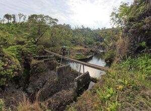
The route described in this beta ends at the footbridge across Hanawi Stream, 20.807176, -156.113584 When you encounter the bridge, climb up it on the canyon-right side, cross it and return to your vehicle. If you wish to continue downstream of the bridge, consult the beta for Emerald Canyon (Lower) Lower Emerald will require a short car shuttle or walk.
Red tape[edit]
Do not enter the irrigation canals. Do NOT leave any valuables in your vehicle parked along Hana Hwy.
Beta sites[edit]
www.808canyons.com
Facebook group: 808canyons
Trip reports and media[edit]
Background[edit]
One of first routes set up on Maui, first known descent was around 2007-2008(?) by the ATS crew, who did much of the early exploration on the Island.
The short bushwhack section "trail" described above is maintained by a small group of local canyoneers and it is flagged with neon blazes. Don't expect there to be an obvious trail when you run the route, the vegetation in the area grows fast and aggressively and it can be difficult to ascertain. Take a few minutes and knock back some of the brush along the trail as you hike.
The waterflow in this canyon generally flows at a sporty/medium rate all year. Be sure to consult the weather forecast prior to entering this canyon and avoid it if rain is forecasted or imminent. This canyon has dangerously strong flows during and after storms. Several links to stream gauges and weather info can be found here: [1]

