Garmoran
| Rating: | |||||||||||||||||||||||||||||||
|---|---|---|---|---|---|---|---|---|---|---|---|---|---|---|---|---|---|---|---|---|---|---|---|---|---|---|---|---|---|---|---|
| | Difficulty:4B II (v4a2 III) Raps:max ↨148ft
Red Tape: Shuttle:None | ||||||||||||||||||||||||||||||
| Location: | |||||||||||||||||||||||||||||||
| Condition Reports: | |||||||||||||||||||||||||||||||
| Best season: | Apr - Oct
|
||||||||||||||||||||||||||||||
| Regions: | |||||||||||||||||||||||||||||||
Introduction[edit]
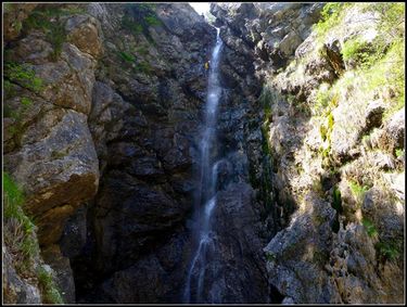
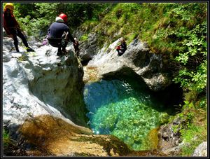
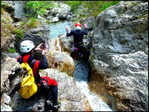
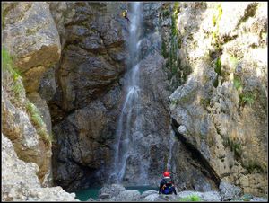
Rio Gormoran is a small creek located on the sunny side of the Carnic Prealps, near Lago di Cavazzo. The stream has very little water in the summer, so it's best to visit it in the spring or after rain. In the Canyon you can find some beautiful green pools, very clear water and a few options for the jumps. Some of the jumps are very technical but you can avoid them. The canyon is never enclosed, it is quite open and sometimes the water disappears for a short time. If is is too much water in torrente Leale or you have already visited it several times, then try to visit Rio Gormoran.
Zone: Italy – Friuli – Alesso
Dimensions: Entrance: 530 m Exit: 220 m Height: 310 m Length: 1250 m
Period April-October
Times: Approach: 1 h Progression: 2:30 h Return: 1 min
Shuttle: No
Equipment: Expedition (10mm bolts)
Rope: 2 X 50m
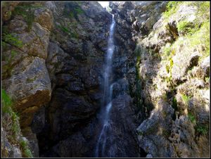
Biggest waterfall: 45 m
Possible exit Not evident
Maps: Carta Tabacco 13 (Tolmezzo)
Attraction: Local
Difficulty: V4 a2 III
Approach[edit]
From Carnia or from Udine drive to the Lago di Cavazzo. The easiest way is to locate the Camping Val del lago on the south coast (very close to the village Alesso). From the camping drive towards to Alesso (in the direction of Udine), under the motorway bridge and just after that turn right on the dirt road near some houses. Follow thid sandy road to the parking, near the Rio Gormoran.
From the parking follow the dirt road into the valley of the Rio Nembrinette and when the road turns away from the creek bed, turn right on the barely visible path (small stone man). Follow this path steeply to an abandoned pasture, cross it and countinue to the intersection, turn right and traverse into the valley of the Rio Gormoran. When you reach a dry creek bad (Rio Teis) climb down for around 50 meters until you reach the first beautiful jumping pool.
Descent[edit]
S 3m
T 1,5m
Water vanishes between the rocks
D + walking 50 m
C 10m: rope on tree (R) D + walking 250 m Water reappears
S 3m
S 4m
C 20m: 2 bolts (L)
C18m: 2 cascates- first 4m S possible-1 bolt (L)
C 45m: 2 bolts (R)
D + walking 400m with 2 little jumps
Exit[edit]
Follow the creek bed back to the parking lot.
Red tape[edit]
Beta sites[edit]
 Canyon.Carto.net : Rio Garmoran
Trip reports and media[edit]
Background[edit]
First descent by Canyoning Cult Slovenia (Matic Udir, Grega Maffi, Robert Žerovec, David Sefaj and Urška Bricelj) and Georg Buol on 1th of May 2014.
