Rinaldo
| Rating: | |||||||||||||||||||||||||||||||
|---|---|---|---|---|---|---|---|---|---|---|---|---|---|---|---|---|---|---|---|---|---|---|---|---|---|---|---|---|---|---|---|
| | Raps:18, max ↨98ft
Red Tape: Shuttle:None | ||||||||||||||||||||||||||||||
| Location: | |||||||||||||||||||||||||||||||
| Condition Reports: | 28 Sep 2014
"Most recent conditions reported at Catastoforre.AIC-Canyoning.it, see Trip Report for ful |
||||||||||||||||||||||||||||||
| Best season: | Jun - Sep
|
||||||||||||||||||||||||||||||
| Regions: | |||||||||||||||||||||||||||||||
Introduction[edit]
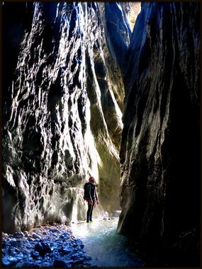
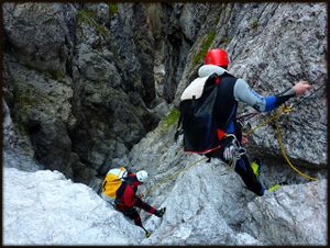
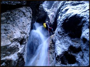
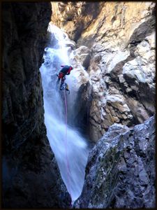
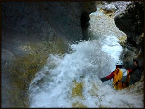
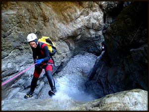
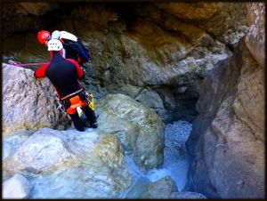
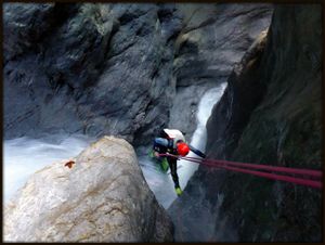
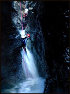
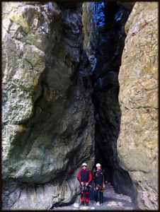
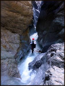
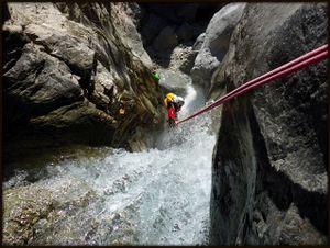
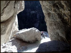
Val-Rinaldo is a very long alpine canyon in dolomite rock, located near Sappada in the Val Rinaldo valley. The canyon is sometimes a slightly discontinuos, but very wild, impressive and an adventure trip in isolated valley. The descent is easily divisible in three parts, separated from each other by few houndred meters of down climbing and walking. The cecond part is the most beautifull, deep and very narrow, sometimes only 1'5 meters. A strong current ( even in summer) and bare-bones rigging mean that the canyon should not be understimated, because some demanding down climbing and rappeling into the water jet. Take with you some extra bolts and some cutting rope.
Zone: Italy – Veneto – Sappada
Dimensions: Entrance: 1600 m Exit: 1063 m Height: 537 m Length: 1700 m
Period June-October
Times: Approach: 1.5 h Progression: 4 h Return: 3 min
Shuttle: No
Equipment: Expedition ( mostly with 6mm multimonti bolts, somethimes with 10 mm bolts and with ropes around boulders and logs)
Rope: 1 x 40m + 1X30m
Biggest waterfall: 20 m
Possible exit No evident
Maps: Carta tabacco 01 Sappada
Attraction: Local ( regional for this area)
Difficulty: v4 a3 IV-V
Approach[edit]
From Sappada drive towards to the S. Stefano di Cadore, soon you see a sign on the left for the Orrido di Aquatona gorge, drive on, up to the bridge over the Rio Bianco. Parking lot is immediately before and after the bridge.
From the parking lot follow the marked path CAI 193 uphill. On the beggining is very steep, abot 300hm becomes more flat and crosses high above gorge, after crossing several streams it becomes steeper again and at the end descends to the open hut – bivouac Ric. Rinaldo (on the map Casera Rinaldo). At the hut is a sign »Aqua«, folow this sign to the stream bed (1 min).
Descent[edit]
C 8m: 1 bolt (R)
C 3m: unequipped (from the trunk on right) (R)
D 6m: (R)
C 10m: 1 bolt (L) C 20m: 2 bolts(R) C 15m: 1 bolt (L)
C 6m: 1 bolt (L) new bolt
D 3m: (L)
C 8m: 1 bolt (R)
D 4m: hard
C 3m : rope around boulder
D+W 100m
C 5m: 1 bolt (R)
C 3m: rope around trunk (R)
D+W 200m
INLET (waterfall) (R)
D+W 100m
C 5m: rope around trunk (R)
D+W 100m
C 20m: 2 bolts - from the boulder (L)
C 20m: 1 new bolt – 2 cascates 15+2 (L) – on the right is a bolt, but you can't reach it
C 8m: 1 new bolt (R)
C 5m: 1 bolt very high (3m) – human ladder or extend from C8 (R)
D+W 70m hard down climbing
C 5m: 1 bolt (R)
D+W 250m
C 15m: 1 bolt – into the water jet (R)
C 7m: 1 bolt – in to the hole between the boulders (R)
Exit[edit]
After the last waterfall climb to the right and cross the wood to the path (20 meters). Follow the path to the parking lot. (3 minut).
Red tape[edit]
Beta sites[edit]
 Canyon.Carto.net : Val Rinaldo - Rio Bianco
 Catastoforre AIC-Canyoning.it : Val Rinaldo;Rio Bianco
Trip reports and media[edit]
Background[edit]
Probably the second repetition by Canyoning Cult Slovenia (David Sefaj, Urška Bricelj, Robert Žerovec, Roman Udir) and Georg Buol on 28th of September 2014.
