Santa Paula Creek
| Rating: | ||||
|---|---|---|---|---|
| | Raps:
Red Tape: Shuttle: | |||
| Location: | ||||
| Condition Reports: | 26 Mar 2022
"Most brutal bushwack Ive ever done. We did one rappel that could have been downclimbed and then we crawled through super thick brush until we finally |
|||
| Best season: | ||||
| Regions: | ||||
Introduction[edit]
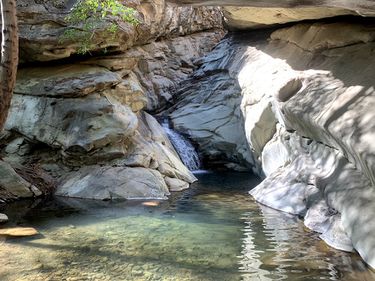
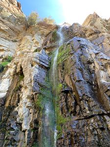
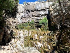
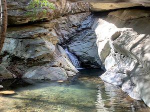
Interesting canyoneering prospect, the punchbowls are frequently visited by hikers. Most hikers only go to the first few waterfalls, there are some other cool obstacles up canyon. After you pass Jackson Falls the trail is (or was when I went in April 2021) pretty much gone so it'd be fun bushwhacking up to get to the top of the fridge that takes you above Santa Paula Falls. Horseshoe falls is pretty easy to climb around if you just want to get to the base of Santa Paula Falls and canyoneer the rest of the canyon.
Approach[edit]
Descent[edit]
Dangel, Aquamoo, and Matthew Robison descended the canyon from the top of the drainage on 2022-03-26. They found one slopey 50ft rappel at 34.50352, -119.09471 (anchored pinch in the middle of the watercourse). There were a few attractive slabby features further down however the canyon was overgrown with thick shrubs and brambles. They first attempted to exit the drainage and hike up to Topo Topo Ridge at 34.49841, -119.08334 but were unable to find the exit trail due to thicc white thorn ceanothus. The party continued fighting their way down canyon until finally able to bail out on the Last Chance Trail at 34.49994, -119.07533. They started their day at 7am and returned to the cars at 12:30am. It is their expressed opinion that this miserable route should not be repeated unless the canyon is scoured by flash flood.
If another party attempts a lower segment of the canyon, it's suggested you take Last Chance Trail and perhaps rappel down into the canyon at 34.48817, -119.05527. It would be wise to arrive prepared for overnight and bushwhacking conditions.
Exit[edit]
With strong navigation skills, Last Chance Trail was a usable bailout. It's overgrown in places.


