Tamarin Falls
| Rating: | ||||||||||||||||
|---|---|---|---|---|---|---|---|---|---|---|---|---|---|---|---|---|
| | Raps:max ↨164ft
Red Tape: Shuttle:None Rock type:Basalt | |||||||||||||||
| Location: | ||||||||||||||||
| Condition Reports: | ||||||||||||||||
| Best season: | ||||||||||||||||
| Regions: | ||||||||||||||||
Introduction[edit]
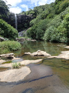
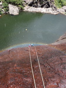
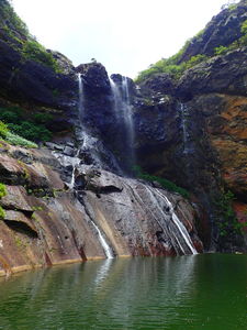
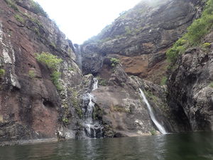
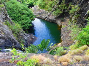
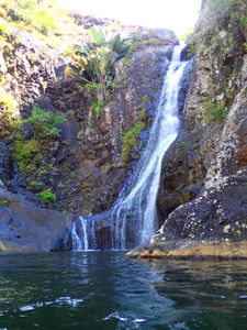
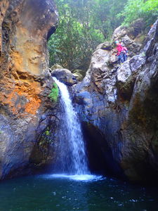
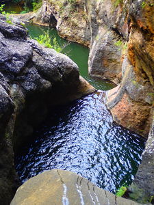
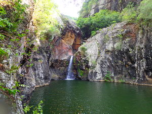
Tamarin Falls has a great sequence of seven abseils including jumps and swims.
Approach[edit]
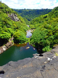
From the roadside parking space on the map, walk 10min down a dirt road, then follow a well-worn trail to the top of the first waterfall.
Descent[edit]
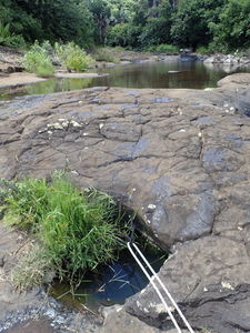
R1: 25m (handline to abseil is anchored from bolts in a pothole in stream center)
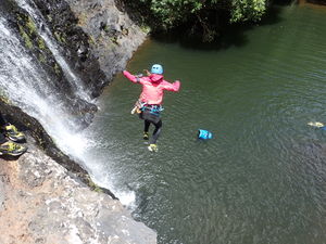
R2: 6m abseil, alternatively Jump by downclimbing a short ways on canyon right
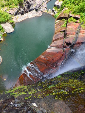
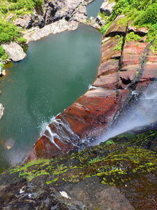
R3: 55m = 30m followed by 25m anchored at the rock layer change (black above, red below)
R4: 13m on canyon left.
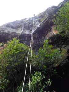
R5: 40m = 5m handline on canyon left, 10m abseil onto shelf, 25m abseil with pothole to negotiate in middle of the wall, final 3m jump into pool
R6: 8m abseil. A jump is possible instead: scramble up rocks on canyon left, then downclimb to a good platform to jump into the pool
R7: 13m abseil into final pool
Exit[edit]
Exit information for the complete canyon descent: After the last rappel, find the trail mostly on canyon left marked with orange paint markers. Another 16m jump can be seen while hiking toward the pump station at the bottom on canyon right. Turn uphill to the right at the pump station and hike to the car parked at the Tamarind Falls viewpoint at the top.
Red tape[edit]
No red tape, however this canyon is mostly guided by commercial companies rather than done by local recreational canyoners. If you'd like to descend with a guide who can tell you more about the local plants and animals, Otelair guides this canyon on Tuesdays and Saturdays and is the only company to do all seven of the waterfalls.
Otelair www.otelair.com/en/canyoning.php
Beta sites[edit]
 Descente-Canyon.com : Tamarin Falls
