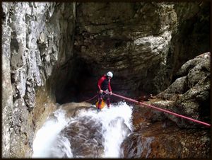
Tolina
| Rating: | |||||||||||||||||||||||||||||||
|---|---|---|---|---|---|---|---|---|---|---|---|---|---|---|---|---|---|---|---|---|---|---|---|---|---|---|---|---|---|---|---|
| | Raps:max ↨66ft
Red Tape: Shuttle:Required Yes (3.5 km) | ||||||||||||||||||||||||||||||
| Location: | |||||||||||||||||||||||||||||||
| Condition Reports: | |||||||||||||||||||||||||||||||
| Best season: | Jul - Oct
|
||||||||||||||||||||||||||||||
| Regions: | |||||||||||||||||||||||||||||||
Introduction[edit]
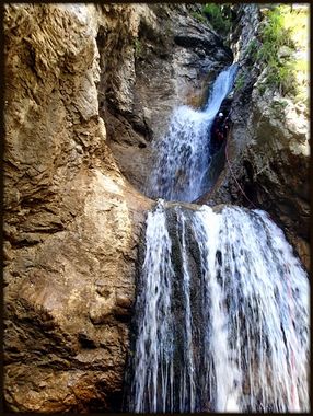
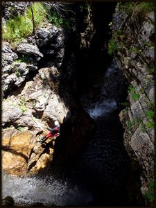
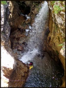
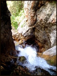
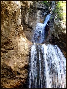
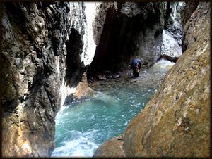
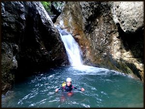
Torrente Tolina is a quite big canyon located near Forni di Sopra. The canyon is in the forested area, sometimes very narrow but discontinues and with very slippery rock. You can find some fallen trees and murky water in to the canyon. The start of the canyon is basically Rio Tartoiana which is after the first narrow part merges with Torrente Tolina. The canyon is equipped in expedition style, but after confluence ( Tolina and Tartoiana) you can see a lot of quite new anchors on the right side but they are out of reach.
Zone: Italy – Friuli – Forni di Sopra
Dimensions: Entrance: 1290 m Exit: 990 m Height: 300 m Length: 1800 m
Period July-October
Times: Approach: 1 min Progression: 3'5 h Return: 10 min
Shuttle: Yes (3.5 km)
Equipment: Expedition (take some extra bolts and some cutting rope)
Rope: 2 X 30m
Biggest waterfall: 21 m
Possible exit Yes (2 or 3 on the right side)
Maps: Carta Tabacco 02
Attraction: Local
Difficulty: V3 a3 III
Approach[edit]
From Tolmezzo drive towards to Forni di Sopra and Vico village, when you cross the bridge over the river Torrente Tolina (village Vico), turn right on Via Roma street (the second street after the bridge). Continue along Via Roma to the end and then turn on Via Novri street ( the sign for CAI 208 , C.ra Tragonia and C.ra Tartoi). Continue along this street to the small hydroelectric power station Idro di Noiaris (SECAB), where you leave the first car. With the second car continue along the road until you reach the stream. Park your car on the right side near the old house.
The entrance is on the left side of the dam, which you can see from the parking lot.
Descent[edit]
C 15m: tree (L) uneqipped (from the dam)
D 4m
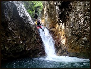
C 21m: 1 new bolt (8mm) 2 cascates (L)
Big rock and confluence with Rio Tolina
C 4m: wedger tree on the right side of big rock ( uneqipped)
D+walking 150 m
Possible exit on right
C 7m: tree- uneqipped (R)
T 4m
J 2m
C 7m: 1 bolt with ring (10mm) (R) – higher in the wall you can see 2 bolts with ring
(quite new), which is out of reach
C 15: 1 new bolt (8mm) (R) – after 7m it is a chain with 2 bolts but barely accessible
C 13m: tree with red rope (L) – hard to reach
C 6m: 2 bolts with chain (10mm) (R) – hard to see
Water pipe and possible exit on right side (10 minutes uphill to the road).
The end of the description, the Canyon is still continuing.
Exit[edit]
When the Canyon expands find a path on the right side. Follow this path to the road and to the hydroelectric power station.
Red tape[edit]
Beta sites[edit]
 Canyon.Carto.net : Rio Tolina
Trip reports and media[edit]
Background[edit]
We were in the canyon on 8th of August 2014. We left the canyon after we met the water pipe, the canyon is still continuing. We don't have any informations about lower part.. Canyoning Cult Slovenia ( David Sefaj, Urška Bricelj) & Georg Buol
