Vorderberger Klamm
| Rating: | |||||||||||||||||||||||||||||||
|---|---|---|---|---|---|---|---|---|---|---|---|---|---|---|---|---|---|---|---|---|---|---|---|---|---|---|---|---|---|---|---|
| | Raps:max ↨82ft
Red Tape: Shuttle:Optional 0 min Rock type:Limestone | ||||||||||||||||||||||||||||||
| Location: | |||||||||||||||||||||||||||||||
| Condition Reports: | |||||||||||||||||||||||||||||||
| Best season: | Jun - Oct
|
||||||||||||||||||||||||||||||
| Regions: | |||||||||||||||||||||||||||||||
Introduction[edit]
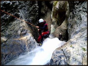
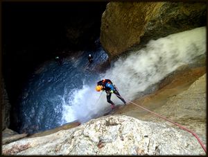
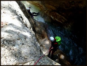
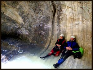
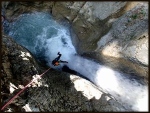
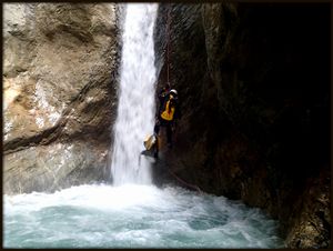
Vorderbergklamm is a very interesting canyon located in Gailtal in Austria on the beginning of the Austrian Carnic Alps. The canyon is very enclosed and impessive with allways heavy flow, but sensibly rigging steers you clear of much of the danger and pools are not deep.. The water is not clear because due a lot of sand in to the river bed and strong flow. Vorderbergklamm is mostly a rapelling canyon with some really nice abseils in a narrow canyon. The canyon has 3 artificial exits and has quite good rigging.
Zone: Austria – Gailtal - Vorderberg
Dimensions: Entrance: 760 m Exit: 600 m Height: 160 m Length: 1300 m
Period June-October
Times: Approach: 30 min Progression: 2 h Return: 5 min
Shuttle: Yes ( with just 1 car you need extra 30 min by foot )
Equipment: Sufficient ( mostly with chains and 10mm bolts, somethimes a little rusty but still good)
Rope: 1 x 40m
Biggest waterfall: 20 m
Possible exit Yes 3 ( look on description)
Maps: Osterreichische staatskarte: OK 1:25 000 Nr. 199/Hermagor Freytag & Bernd WK 224 Faaker See-Villach-Unteres Gailtal
Attraction: Regional
Difficulty: V3 a4 IV
Approach[edit]
From Tarvisio drive toward Austrian border. Cross the border and drive toward the Arnoldstein, turn left for the Feistritz an der Gail. In the center of the village turn to Vorderberg. In Vorderberg turn left, cross the bridge (Vorderbergklamm) and park the car near Maria Graben church on the large parking place on the left.
From the church cross the bridge over the Vorderbergklamm and after 50 meters cca. turn right on the forest road,. On the first junction turn right and on the second junction park the car on the convenient position (park so as not to hinder traffic). Turn right on the dirt, bad forest road and continue uphill on the road to the creek on the right side. At the first water barrier scramble down to the creek bed.
Descent[edit]
150 m walking
C 15m: chain (R)
C 5m: unequipped (from the trunk on right)
Possible EXIT on left
MC 2m: (R)
C 4m: chain (R) C 10m: chain (L) T 1m
C 20m: chain (L)
C 5m: 2 bolts(R)
Downlimb on the ledge on the right
C 8m: 2 chains (R)
C 4m: chain (L)
C 5m: chain (R)
C 4m: chain from the center of the boulder (C)
C 3m : 2 bolts (R)
Possible exit on the left (iron ladders) C 4m: chain (R) and (L)
D 3m
T 2m
C 7m: chain (2 cascates) (R)
C 4m: chain (L)
Possible exit on left (iron ladders) MC 3m (L)
C 16m: chain (L)
C 18m: chain(R)
Exit[edit]
After the last waterfall is the path on the left side of the creek. Follow the path to the church. (5 minut).
Red tape[edit]
Beta sites[edit]
 Descente-Canyon.com : Vorderberger Klamm
 Canyon.Carto.net : Vorderbergklamm
Trip reports and media[edit]
Background[edit]
The waterfalls are marked with tiles with numbers from 1 to 14.


