Augie Canyon
| Rating: | |||||||||||||||||||||||||||||||
|---|---|---|---|---|---|---|---|---|---|---|---|---|---|---|---|---|---|---|---|---|---|---|---|---|---|---|---|---|---|---|---|
|
| |||||||||||||||||||||||||||||||
| | Difficulty:3A I (v3a1 I) Raps:2-4, max ↨40ft
Red Tape: Shuttle: Vehicle:Passenger Rock type:Limestone | ||||||||||||||||||||||||||||||
| Location: | |||||||||||||||||||||||||||||||
| Condition Reports: | |||||||||||||||||||||||||||||||
| Best season: | Fall, Winter, Spring
|
||||||||||||||||||||||||||||||
| Regions: | |||||||||||||||||||||||||||||||

Introduction
Augie Canyon cuts through a layer of Devonian Limestone, staying mostly shallow along its short length. Due to its short length and limited number of rappels and down-climbs, it is not a destination canyon. However, Augie Canyon is a worthwhile stop if you are passing through the area to Great Basin National Park, Notch Peak, or climbing at Ibex. The canyon is beginner friendly and is scenic near the end where the slot deepens and some unique cave features are encountered.
Approach
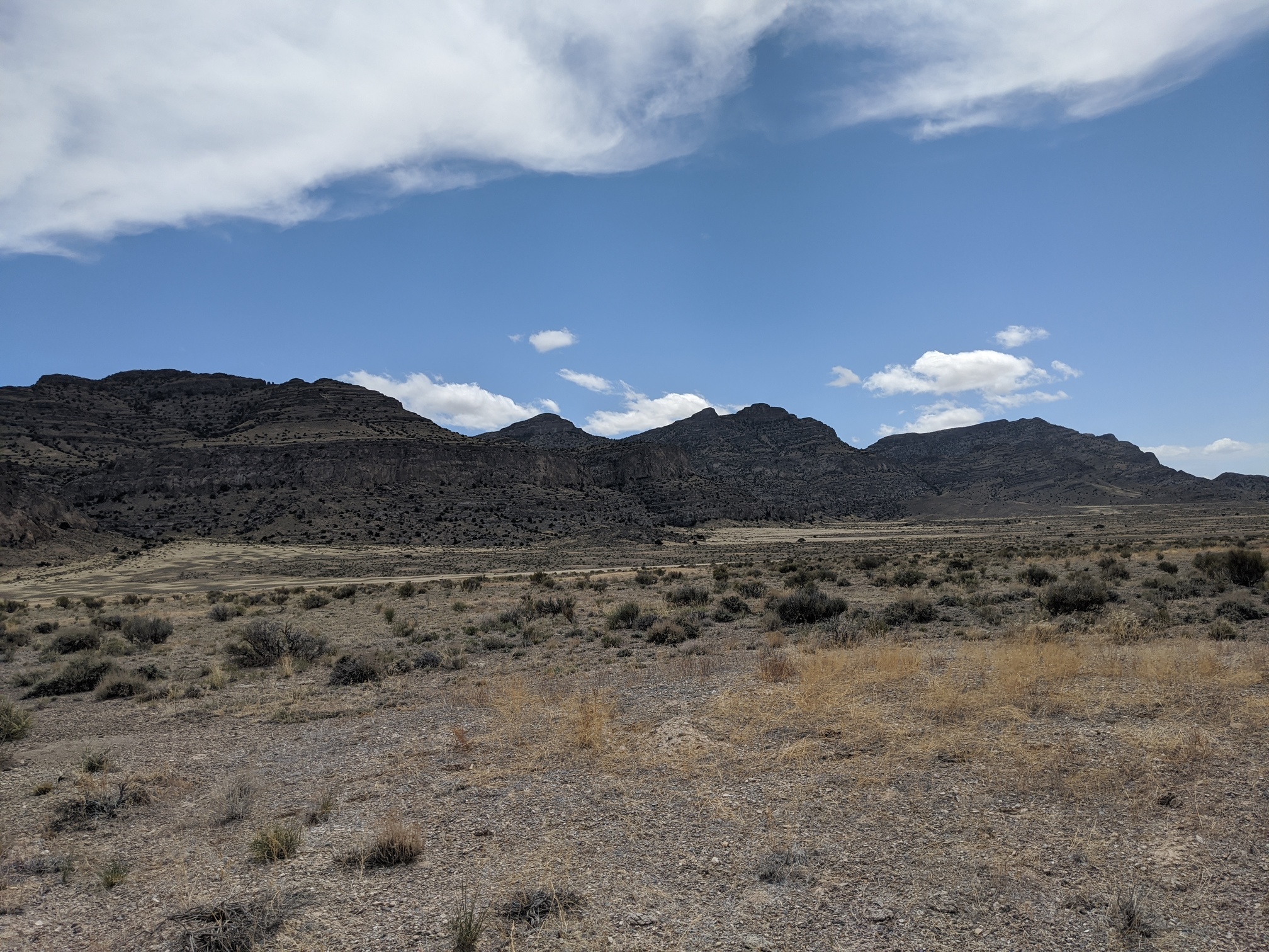
From the pavement, the dirt road is suitable for low clearance vehicles all the way to the trail-head. From the trail-head, cut cross-country south east across the plain towards the cliff bands. Just North of where Augie Canyon opens up to the plain, there is a chute with trees in it that allows passage up through the cliff bands. Once through the initial cliff-bands, you simply follow the north rim of the canyon to the head.
Descent

The first rappel is encountered walking down a fairly open section of canyon, and is anchored off a tree on the RDC.

Between the first and second rappel, there are a few small down-climbs. The second rappel is also anchored off of a tree/bush on the RDC.

After the second rappel, the rest of the canyon can be down-climbed, though one of the down-climbs is tricky and will need to be rappelled by some.

After a final down-climb, the canyon opens up onto the plain. On the RDC of the final down-climb, there is an interesting cave worth checking out.


Exit
From the end of the canyon, travel Northwest across the plain back to the trail-head.
Red tape
none
Beta sites
Trip reports and media
Background
The Devonian age Limestone that Augie canyon cuts through is over 400 million years old, being deposited on the ocean floor at the same time the very first forests appeared on land.