Barvick Falls
| Rating: | |||||||||||||||||||||||||||||||
|---|---|---|---|---|---|---|---|---|---|---|---|---|---|---|---|---|---|---|---|---|---|---|---|---|---|---|---|---|---|---|---|
| | Raps:3, max ↨66ft
Red Tape:No permit required Shuttle:None Vehicle:Passenger | ||||||||||||||||||||||||||||||
| Location: | |||||||||||||||||||||||||||||||
| Condition Reports: | 15 Jun 2024
"Good trip today, anchors in good condition. Logs jams where the guide describes. Surprised this canyon doesnt get more traffic! |
||||||||||||||||||||||||||||||
| Best season: | April to September
|
||||||||||||||||||||||||||||||
| Regions: | |||||||||||||||||||||||||||||||
Introduction[edit]
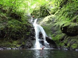
The falls of bavick is a fun and simple canyon located a stones throw away from creif. It has a few fun low angle abeils, one smashing jump and miles of fun slides. It is undeservedly unpopular, but because of this has a lovely unexplored feeling. It's short length and simple nature make it a cracking option for beginners or for an after work getaway.
Approach[edit]
Getting there[edit]
The Falls of Barvick are located a stone's throw from Creif making them an ideal quick trip for beginners or as a cheeky after-work trip. They can also be combined with a bit of climbing at some of the nearby crags if that is your thing. From Creif head west on the A85. After crossing over a small bridge, turn left following signs for Glen Turret. Go past the distillery, and then turn left onto a road with a 10mph speed limit. This road ends at a fork just past a bridge. There is parking here in a small layby on the righthand side of the road just before the bridge.
Access[edit]
The walk up this canyon is short and steep. Take a faint path on the RL side of the gorge, sticking near to the edge of the Gorge. Follow this up as the path comes and goes. There are a few downed trees to scramble under/over. Eventually the accent levels out and over the next few 100m the burn comes up to join the path. When it looks safe to do so walk down the bank to access the burn.
Descent[edit]
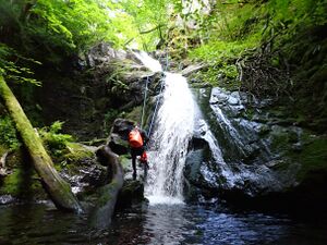
The canyon starts where the burn levels out and an easy descent can be made to join the burn. A short 200m gorge walk leads you to the first pitch. This is bolted river left and looks downclimbable but a steep drop at the bottom prevents this. There is a log in this pool (and everywhere else in this canyon) which is fun to jump off of. The canyon here becomes more steep-sided and there is a short section of entertaining but straightforward gorge walking. The next pitch is a lovely smooth 20m pitch. This has a single bolt RL. The bottom of this pitch has a high potential for a pendulum so caution should be used.
Below this abseil, there is a cool 2-tier drop that can be downclimbed using the treetrunk on RR. Here the gorge drops into an impressive narrow slot. There is no good anchor here to abseil from and instead, it should downclimbed via the slabs on RL. Swimming back up to it is well rewarded however as there is a tight 5m jump to be found into the second pool from the drop.
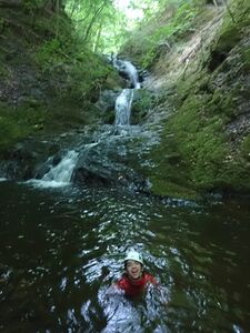
The gorge now opens out and offers a wide array of slabs and slides that are fun but need to have their speed managed as none have deep landings. To finish there are 2 waterfalls. The first of which has 3 tiers and is a fun challenge to downclimb, but none of the pools are deep. It is best to climb around the RL side instead. There are also numerous trees that can be used to rig an abseil depending on your group. It might be more fun to abseil this and stay in the water. Lastly, a curving 6m waterfall leads to the finish. This is bolted on RL but you might not know it. The bolts are hidden on the canyon floor between the drop and a tree on RL. You may have to move some leaves to find this. From the bottom of this abseil, you can literally see your vehicle, and the trip is finished.
Exit[edit]
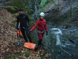
The exit to this canyon could not be simpler. From the bottom of the last pitch walk across the shallow slippy pool before moving out of the burn RL and making your way up to your vehicle.
Red tape[edit]
Beta sites[edit]
 UK CanyonGuides.org : Falls of Barvick
- Scottish Canyons by Danny Watts


