Belford Gulch
| Rating: | |||||||||||||||||||||||||||||||
|---|---|---|---|---|---|---|---|---|---|---|---|---|---|---|---|---|---|---|---|---|---|---|---|---|---|---|---|---|---|---|---|
| | Raps:4, max ↨190ft
Red Tape:No permit required Shuttle: Vehicle:High Clearance Rock type:Granite | ||||||||||||||||||||||||||||||
| Start: | |||||||||||||||||||||||||||||||
| Parking: | |||||||||||||||||||||||||||||||
| Condition Reports: | |||||||||||||||||||||||||||||||
| Best season: | Jul-Sep
|
||||||||||||||||||||||||||||||
| Regions: | |||||||||||||||||||||||||||||||
Introduction[edit]
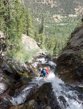
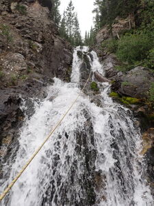
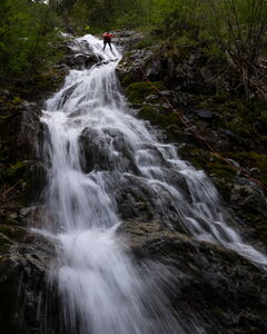
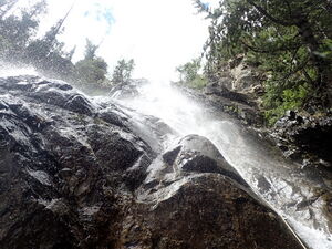
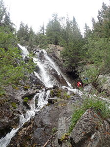
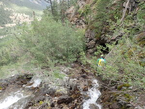
Belford Gulch is a short canyon with some decent back-to-back rappels close to nice dispersed camping. A comfortable amount of water flows over lower angle and some vertical waterfalls making for a short, committing-feeling descent even though it is not a deep gorge. The rappel sequence offers a good Pay-To-Play ratio.
Approach[edit]
Drive: 5.85 miles West on CR 390 from Highway 24, South of Leadville, CO and North of Buena Vista. Park along the road. Several camping spots are located along this dirt road. Park in available space out of the way of campsites.
Hike: South, crossing Clear Creek and seek game trails or use trails through the forest trending uphill and to the top of the falls on the East side of Belford Gulch.
Descent[edit]
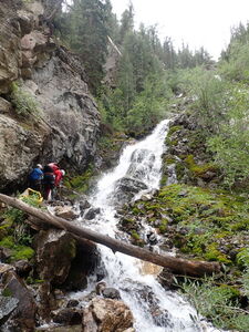
R1: 100' from a tree on Canyon Left down three low angle tiers with a little pothole
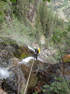
R2: 80' from a tree on Canyon Left down an initially low angle then steep rock face
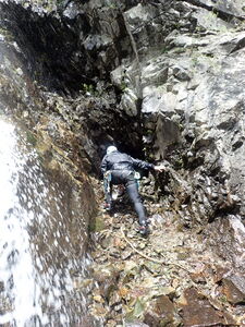
DC: 15' two small mines are on either side in this location
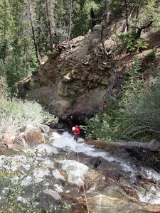
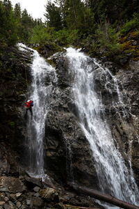
R3: 190' from a tree in Canyon Center initially out of flow on a lower angle, then into flow
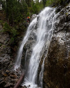
R4: 85' from a tree on Canyon Right
Exit[edit]
Follow a short path on Canyon Right after R4 back to the approach trail on the ridge and retrace steps to the North or find new social/game trails back to crossing Clear Creek and returning to the vehicle.
Red tape[edit]
Beta sites[edit]
Trip reports and media[edit]
13Aug2023 - explored by Ira Lewis, Edmund Rudell, Ryan Bunker, Andrew Tanasescu & Kati Wright
