Brides Canyon (Upper)
| Rating: | |||||||||||||||||||||||||||||||
|---|---|---|---|---|---|---|---|---|---|---|---|---|---|---|---|---|---|---|---|---|---|---|---|---|---|---|---|---|---|---|---|
| | Difficulty:3A II (v3a1 II) Raps:3-4, max ↨50ft
Red Tape:No permit required Shuttle:None Vehicle:High Clearance Rock type:Sandstone | ||||||||||||||||||||||||||||||
| Location: | |||||||||||||||||||||||||||||||
| Condition Reports: | 20 Oct 2020
"Completely dry. Ran solo. Up climbed first obstacle, shoulder stand would be easier. Essentially slid through R1; added webbing to R2; R3 has deadman |
||||||||||||||||||||||||||||||
| Best season: | Spring and Fall are best, but winter is fine if there isn't too much snow. The Gemini Bridges Road can be quite trecherous when snowy and icy.
|
||||||||||||||||||||||||||||||
| Regions: | |||||||||||||||||||||||||||||||
Introduction[edit]
Brides Canyon is near the Gooney Bird Rock Tower off the Gemini Bridges Road. The canyon is interesting and pretty by Moab standards. If you are used to North Wash or Zion and expecting a challenge, you'll be disappointed that this is more of a hike with rappels. It never really slots up. There are a lot of rock towers and arches in the vicinity as well. Bring webbing and at least 100 feet of rope.
Approach[edit]
Trailhead
From Highway 191 north of Moab, turn west on the Gemini Bridges Road (BLM 261). After a short distance, turn left staying on the road to Gemini Bridges. After driving this road about 4 miles from the highway, turn left and follow this side road to the end. High clearance is recommended. The impressive rock tower at the trailhead is named The Bride, thus the name of the canyon.
Google Maps has directions to Bride Canyon. There are several official campsites near the trailhead, but you are supposed to bring your own toilet.
To the Canyon Head
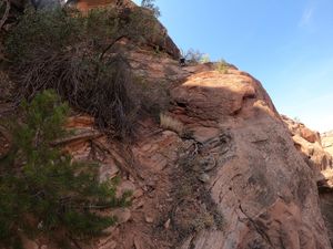
From the dirt road, head to the obvious weakness in the north-facing cliffs. Scramble up the least steep part.
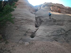
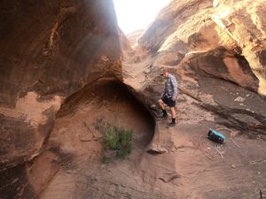
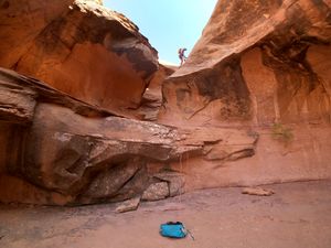
You will quickly encounter a rather tricky upclimb. Unless you are a highly skilled rock climber, you will need to do a shoulder stand to ascend this obstacle. The first person should take a rope, meat anchor from the top, and allow the next persons to use the rope to ascend.
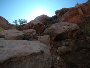
Above this obstacle, stay to your right through a field of boulders, through the only obvious viable route to the top of the cliffs. There is a class III move here where, again, the leader can take the rope and set an anchor for subsequent climbers if necessary.
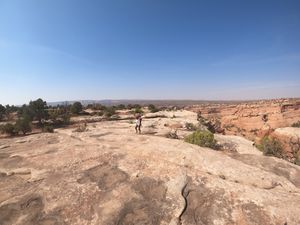
Here, you'll top out on the plateau.
Head northeast to the start of the slot. There is an easy mountain bike trail to guide you for 2/3rds of the way.
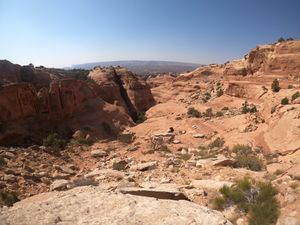
When you get to the canyon, walk down a gentle slope, stay right, and ascend past a large outcrop. It's here that a GPS route is indispensable. Past this outcrop, scramble down several hundred feet on canyon right to the canyon floor.
Descent[edit]
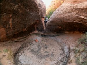
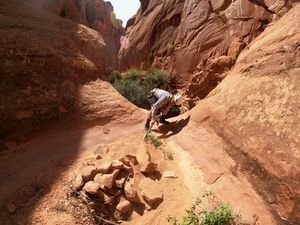
Enter the canyon and start bushwhacking. You will quickly come to a difficult downclimb into a pool, which may be filled or dry. A partner assist with a handline works well. In winter, if you don't want to wade in icy water, you can retreat up canyon and climb the north wall and follow the ledges before rappelling back in the canyon just below the pool.
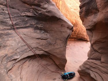
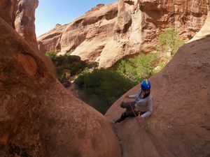
After the pool there are some narrows before reaching the first rappel, 30' or so. This rappel is two stage, 20 feet and 10 feet. There is a tree to use as an anchor, currently without webbing. There are some interesting short side slots to explore in the area.
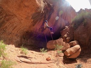
Walk down through pretty narrows. Rappel 2 is about 50 feet off of webbing on a tree.
The next drop has an easy bypass on the right.
The final rappel is a 50' rap off a deadman anchor we built.
Exit[edit]
After rappel 3, follow the obvious trail down canyon and back to your vehicle.
Red tape[edit]
Beta sites[edit]
Trip reports and media[edit]
June 19: One big deep pool at the third rappel was full of green bubbly water. We were able to swing left to get off rappel and keep the water to thigh deep. There was no other water that could not easily be avoided. 7 rappels, 2 with freehang, several good downclimbs and/or pack-drag opportunities, and nicely sculpted walls made for a very nice canyon. A Top 10 canyon in Moab. We also came down the North Fork that is a slot with a 30 foot downclimb and some stemming, nice but very short.
Background[edit]
Many good canyons in the area have been kept out of the guidebooks. Will see how long that lasts now that this one is online.
