Brush Creek (Lower)
| Rating: | |||||||||||||||||||||||||||||||
|---|---|---|---|---|---|---|---|---|---|---|---|---|---|---|---|---|---|---|---|---|---|---|---|---|---|---|---|---|---|---|---|
| | Difficulty:3B I (v2a2 II) Raps:1, max ↨30ft
Red Tape:No permit required Shuttle:Optional 5 min Vehicle:Passenger Rock type:Granite | ||||||||||||||||||||||||||||||
| Location: | |||||||||||||||||||||||||||||||
| Condition Reports: | 17 Jul 2022
"Fun little canyon. Lots of slides and jumps. One rappel through bolts with quick links. We dropped off all people up at the drop in then parked a |
||||||||||||||||||||||||||||||
| Best season: | Jul - Sept, depending on snowpack
|
||||||||||||||||||||||||||||||
| Regions: | |||||||||||||||||||||||||||||||
Introduction[edit]
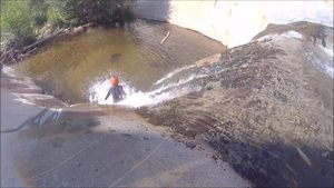
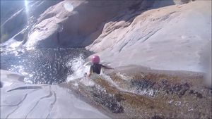
This section is a very popular kayaking run, but in the summer when the flows drop it is a wonderful canyon that is perfect for beginners and kids. There is one rappel, but it is possible to bypass with some class IV scrambling. For kids, the highlight is the many really fun slides.
Approach[edit]
From the intersection with Mountain 99, take Sherman Pass road to the large helipad or the right. Park off the pavement near the helipad. A trail heads downhill to the south of the helipad/parking area. The trail leads to the creek and the start of the bedrock section. It is less than 10 minutes on an easy to follow trail from the parking area to the creek.
Descent[edit]
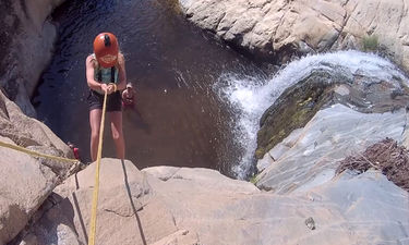
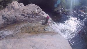
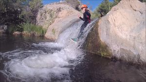
Starting off there are a few fun small jumps (can be shallow) and slides. The big drop is pretty obvious (it is about a 15ft waterfall). The are rappel anchors on the left. It is possible to bypass on the right (4th class).
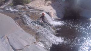
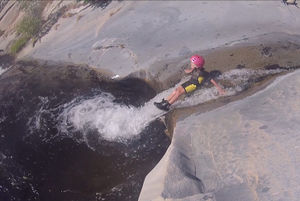
After the rappel, there is a section with some quality slides. "Go Anywhere" was named by kayakers but it is best to stay on the right side when sliding
Including tripple drop:
And the birdbath
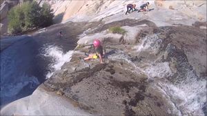
The highest quality bedrock eventually changes into a mix with more boulders, at this point, there is a trail on the right. The Faucet marks the end of the bedrock section:
We usually stay with the water all the way to the Mountain 99 bridge. There are fun slides and areas to swim all the way to the end.
The water in the afternoon is noticeably warmer. We usually try to wait until the afternoon to start.
Exit[edit]
There is a parking area at the bridge where Mountain 99 crosses Brush Creek. At the time of the writing, it is free to camp at this area (pit toilets are provided).
Red tape[edit]
None
Beta sites[edit]
Most info online is related to kayaking rather than canyoneering but they can provide additional info: https://cacreeks.com/brush.htm
