Bucking Mule Falls
| Rating: | |||||||||||||||||||||||||||||||
|---|---|---|---|---|---|---|---|---|---|---|---|---|---|---|---|---|---|---|---|---|---|---|---|---|---|---|---|---|---|---|---|
| | Raps:2, max ↨250ft
Red Tape:No permit required Shuttle:None Vehicle:Passenger Rock type:Gneiss | ||||||||||||||||||||||||||||||
| Start: | |||||||||||||||||||||||||||||||
| Parking: | |||||||||||||||||||||||||||||||
| Condition Reports: | |||||||||||||||||||||||||||||||
| Best season: | Jul-Oct
|
||||||||||||||||||||||||||||||
| Regions: | |||||||||||||||||||||||||||||||
Introduction[edit]
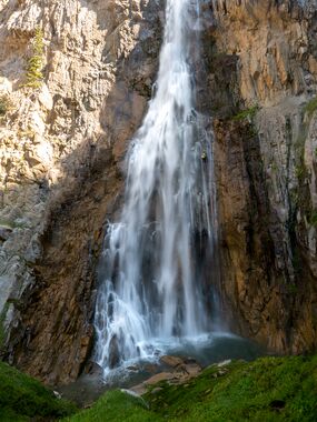
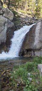
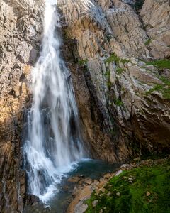
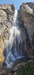
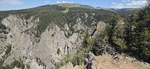
Bucking Mule Falls is the tallest waterfall in the Bighorns and its height was listed as 180', 200' or even 550' on the trailhead sign itself.
It is a spectacular waterfall with some manageable, but tougher off trail hiking at the end of the approach and return climb back up to the trail. A 4-star single waterfall with 1-star access.
Approach[edit]
Drive north on Forest Service Road 14 / Sheep Mountain Rd toward Porcupine and Bucking Mule Falls (or FSR 13) to the end of the road in 10 miles.
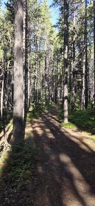
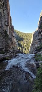
Hike the well defined trail leading from the Trailhead Parking to a viewpoint above the falls at (44.89445, -107.92701). Check out the viewpoint on the return. Depart the trail at (44.89391, -107.92108), 2.1 miles from the trailhead, and descend the slope to Bucking Mule Creek below hopping over downed trees. Continue downstream to the top of the falls.
Descent[edit]
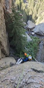
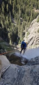
R1: 30' from a pine tree DCL for a 20' drop just above the big waterfall
R2: 250' Bucking Mule Falls from a pine tree DCL.
Exit[edit]
Hike downstream a short ways to (44.89626, -107.92722). Utilize a long scree field to climb up the 830 ft elevation. Check out the viewpoint and hike the trail back to the trailhead.
Red tape[edit]
Beta sites[edit]
Alltrails.com Bucking Mule Falls viewpoint hike
Trip reports and media[edit]
2025-07-25 Explored by Ira Lewis, Carl Bern, Wayne Herrick, Andrew Tanasescu and Kati Wright
