Carrizales
| Rating: | |||||||||||||||||||||||||||||||
|---|---|---|---|---|---|---|---|---|---|---|---|---|---|---|---|---|---|---|---|---|---|---|---|---|---|---|---|---|---|---|---|
| | Raps:10-14, max ↨82ft
Red Tape:Permit required Shuttle:None Vehicle:Passenger Rock type:Basalt | ||||||||||||||||||||||||||||||
| Location: | |||||||||||||||||||||||||||||||
| Condition Reports: | 27 Oct 2021
"Perfect flow, clear water, excellent anchors. Dozens of chilly swims. Only two cairns on the difficult exit. |
||||||||||||||||||||||||||||||
| Best season: | Anytime, flows all year, BEST in winter to spring, HOT in summer
|
||||||||||||||||||||||||||||||
| Regions: | |||||||||||||||||||||||||||||||
Introduction[edit]
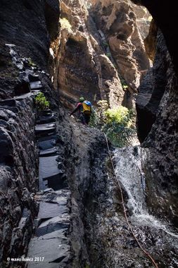
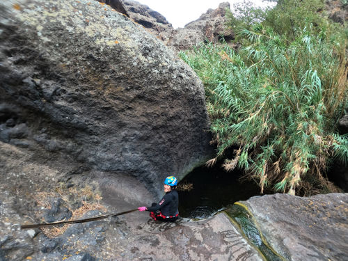
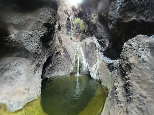
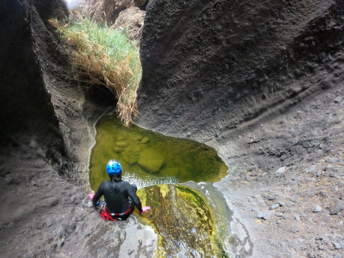
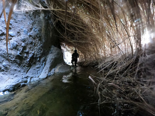
Carrizales is probably the best canyon on Tenerife and, indeed, in all the Canary Islands. It flows all year. Being a spring-fed stream through a basalt canyon with palm trees and reeds, this is an extremely unique canyon that even the most experienced canyoneers will love.
Approach[edit]
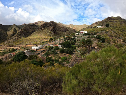
From the trailhead, follow the obvious path, with signs, to the water. Suit up at the water. The approach only takes a few minutes.
Descent[edit]
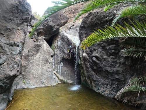
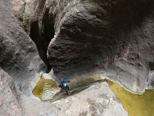
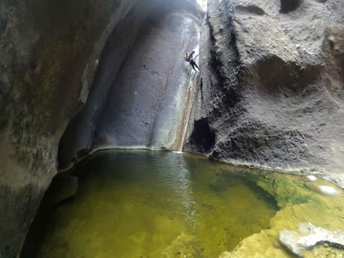
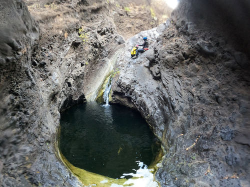
The descent has around 14 rappels, up to 25 meters. There are dozens of short swims. Wetsuits are required, as the water is fairly cold.
All anchors are well bolted. There is no escape from the canyon until the end, although there are many opportunities to get to higher ground. That said, this is a bad place to be in heavy rains.
There are multiple jumps on the descent. Always check the depth first!
Exit[edit]
Previously, canyoneers would descend to the beach and get picked up by a boat. As of 2021, it appears boat pickups are no longer allowed or available.
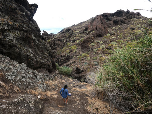
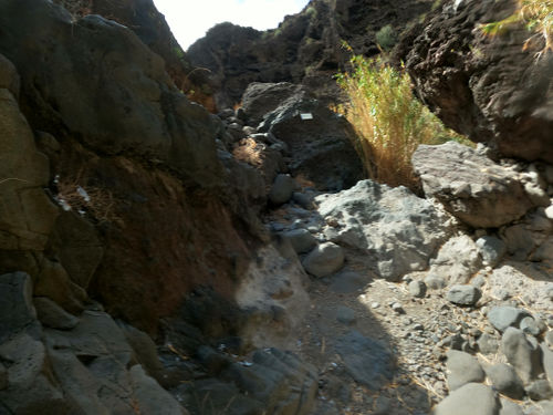
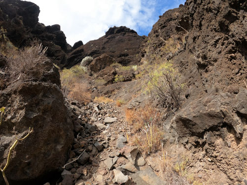
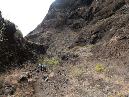
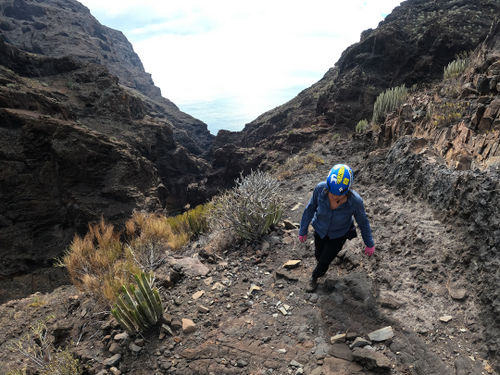
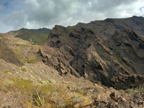
The current exit is a 1.5 hour struggle up and down the steep mountains next to (north side of) the canyon. There is no marked trail, and a combination of GPS, common sense, and a little bit of route finding are necessary. There are no extremely exposed or dangerous parts - the exit should be an off-trail hike at most.
When the canyoneering section ends, which is right after the water ends, there is a sign marking the exit. Find a small trail heading directly up the gully on canyon right - do not traverse along the mountain.
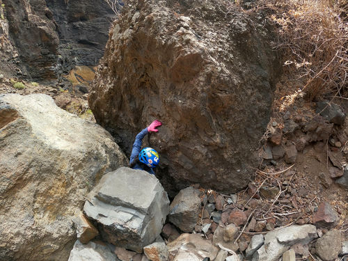
After a few minutes this nondescript gully will bring you to a spot where you have to pass up through two boulders. This is not a difficult move.
Continue up after the squeeze; there should be a sign telling you where to continue. The route then turns right (NE) up a steep slope of less loose rocks.
The route will continue to parallel the canyon for 30 minutes or so, at times on a fairly clearly trail.
Just when you feel you are close to the end, you'll come to a huge side ravine, and will have to carefully descend 100 meters down a steep slope with some paint markings, cross the bottom, and ascend right up the other side. From here it's a 10 minute gradual descent back to the canyon and up to the parking area.
Red tape[edit]
Es necesario solicitar permiso, en Montaña Regulada puede verse el procedimiento
Permission is free but must be requested online in advance. Weekends sometimes fill up, weekdays are generally widely available. Visit Montaña Regulada puede verse el procedimiento
Beta sites[edit]
 Descente-Canyon.com : Carrizales
 Canyon.Carto.net : Barranco de los Carrizales
 Icopro.org : Los Carrizales
 Wiki-Infobarrancos : Barranco de Los Carrizales (http://infobarrancos.es/)
Trip reports and media[edit]
https://www.lukaseddy.com/canyons-of-the-canary-islands
 Wikiloc.com : Barranco Carrizales
 Wikiloc.com : Barranco de Carrizales
 Wikiloc.com : S 312 B; DESCENSO DEL BARRANCO DE LOS CARRIZALES; V EDICIÓN. 23 FEB 2014 10:04 001
 Wikiloc.com : LOS CARRIZALES
 Wikiloc.com : Los Carrizales
