Cecil Hollow
| Rating: | |||||||||||||||||||||||||||||||
|---|---|---|---|---|---|---|---|---|---|---|---|---|---|---|---|---|---|---|---|---|---|---|---|---|---|---|---|---|---|---|---|
| | Difficulty:3A III (v3a1 III) Raps:4, max ↨150ft
Red Tape:No permit required Shuttle: Vehicle:Passenger | ||||||||||||||||||||||||||||||
| Start: | |||||||||||||||||||||||||||||||
| Parking: | |||||||||||||||||||||||||||||||
| Condition Reports: | 20 Mar 2025
"notably, this was a particularly dry week (buffalo river levels are reportedly low for the season & fire danger is up). avoidable trickles of water on |
||||||||||||||||||||||||||||||
| Best season: | Jan-Mar
|
||||||||||||||||||||||||||||||
| Regions: | |||||||||||||||||||||||||||||||
Introduction[edit]
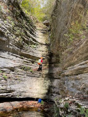
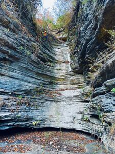
Cecil Hollow has some big rappels with beautiful trickling waterfalls in an open canyon.
Approach[edit]
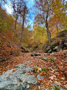
Hike downstream from Kyles Landing on the Old River Trail. Cross the river and climb up between Cecil and Clemmons Hollows on a steep trail (ORT to Bench Trail Connector). Make a left on the Bench Trail, and follow it to the top of Cecil Hollow and descend.
Descent[edit]
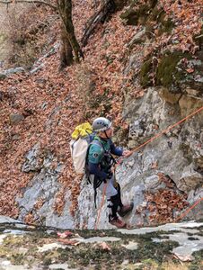
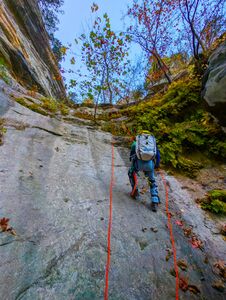
Steep boulder hopping followed by a rappel (75’ish) into a quickly opening slot (36.061858, -93.283792). Another drop (40-50’) immediately follows. If you rappel on the left there is poison ivy to watch out for. Rappeling on the right might put you in an awkward spot behind a boulder, but that's probably more fun.
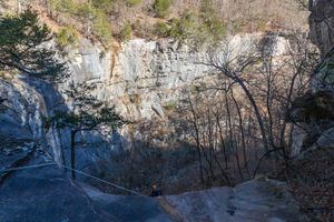
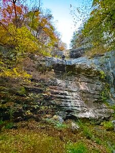
Just down canyon a large two-staged waterfall follows into a big kind of Amphitheater (36.060833, -93.282222). A 250 foot rope will get you down the whole thing. Otherwise rappel 120 feet down to some trees on the right, and another 120 to 150 feet down to the bottom.
Exit[edit]
Hike downstream, cross the river, and you're at your car.
Red tape[edit]
Beta sites[edit]
Trip reports and media[edit]
May 2, 2025
It rained off and on for the past few days. Beautiful waterfalls to rappel. Of note, fording the river was fine using the ORT crossing downstream of Kyle’s on the approach. Once you come out Cecil Hollow, there is not any good place to cross when the river is up. We swam it at a spot that we thought would be forgiving. We were successful, but approaching this canyon with moderate to high flooding should at least give you pause.
26.OCT.2024
I did this canyon during Fall Season, there is no water on creek; however, the colored trees give us a amazing views.
R1, from the left, anchor on a tree, using a Loop Belt Sling Retrievable Anchor R2, from the left (36.061858, -93.283792), anchor on a tree, there is a fallen tree from the right that crosses the waterfall, we cleaned up the descend, also, there are couple of rocks lose, be careful R3, immediatly after R3, anchor from tree, using the using a Loop Belt Sling Retrievable Anchor. R4, from the right, anchor on a tree, there is webing that we used R5, from the left, anchor on a tree, there is webing that we used
