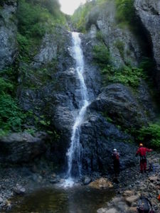
Clear Creek (West Fork)
| Rating: | |||||||||||||||||||||||||||||||
|---|---|---|---|---|---|---|---|---|---|---|---|---|---|---|---|---|---|---|---|---|---|---|---|---|---|---|---|---|---|---|---|
| | Raps:12, max ↨200ft
Red Tape:No permit required Shuttle:None Vehicle:Passenger | ||||||||||||||||||||||||||||||
| Start: | |||||||||||||||||||||||||||||||
| Parking: | |||||||||||||||||||||||||||||||
| Condition Reports: | 24 Apr 2025
"Despite caltopo showing snowpack that matches June in many other years, there remained a significant tongue of snow all the way to the top of R6. We h |
||||||||||||||||||||||||||||||
| Best season: | May - Nov; BEST Jun - Oct
|
||||||||||||||||||||||||||||||
| Regions: | |||||||||||||||||||||||||||||||
Introduction[edit]
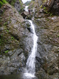
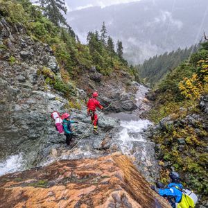
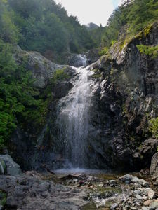
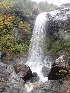
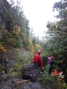
This is one of several, mostly unnamed, drainages on the rugged east flank of Jumbo Mountain, just south of Darrington off the Mountain Loop Highway. It is characterized by a steep gradient, clean bedrock, and many consecutive drops. In the winter, snow often makes the road undrivable and the higher reaches of the canyon are filled with snow by avalanches. The rappels are all close together, and rappel anchors (both natural and bolted) are easy to find, and the approach is relatively painless and quick (for being off trail in the Cascades). Canyon walls soar high above, decorated with the wet, vibrant greenery common to this region.
Approach[edit]
From Darrington, travel south on the Mountain Loop Highway for 2.9 miles. Take a right onto Frog Creek Road (FS Road 2060) and follow it for 1.0 miles until you reach the bridge over the creek. There is room for several cars to park in a pullout on the north side of the bridge.
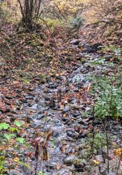
This part of the creek where it crosses the road can be deceivingly dry, as much of the creek is flowing underground. It does not represent the true flow in the canyon upstream. If you can see any visible flow above the bridge, it's likely that the creek is running in at least moderate conditions.
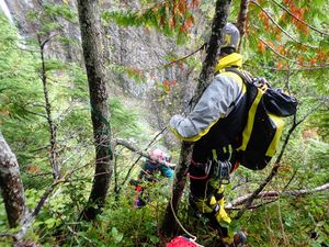
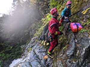
To reach the start of the canyon, walk the road approximately 100ft further south of the bridge and proceed uphill using the path of least resistance. You will be climber's left of the stream. Navigation is fairly simple, with the exception of a few easily avoidable cliff bands and the occasional blowdown. The terrain is fairly nice for being off-trail and the worst brush is in the first 100-200ft of vertical gain. Proceed uphill, generally following the fall line, but taking the path of least resistance. Go around a mossy slab at 2,550ft. Shortly thereafter, at 2,600ft, the ridge becomes steep, mossy cliffs. This is the drop-in point.
Descent[edit]
R1, 200ft: Rappel from the ridge off webbing around a tree at the edge of the cliff. The rappel line will take you down a small, steep and brushy dirt gully. The gully opens into a brushy slope and finally deposits you in the creek. Gully has been pruned to reduce snag hazards.
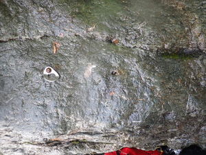
R2, 30ft: Single bolt DCL, across the creek from the end of R1. Two short drops into shallow pools.
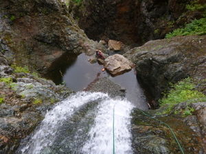
R3, 100ft: Two bolt anchor on rock wall DCL, rap 20ft into a pool, then continue over a longer drop into another pool.
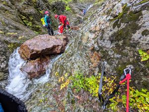
R4, 60ft: Single bolt anchor on downstream face of humongous boulder. Walk/scramble 50ft to next anchor.
R5, 20ft: Rappel off boulder pinch, short but with an awkward transition over a chockstone.
Walk 300ft in a beautiful, narrow canyon to next anchor.
The top of R6 looks like a potential exit/entry point.
R6, 50ft: Two bolt anchor on downstream face of another humongous boulder, rap DCL into a pool.
Walk 50ft, then downclimb steeply 20ft DCR to bypass the main flow (this could be rigged as a short rap in future). The downclimb is steep and will be in the flow in moderate+ conditions. There are good positive hand & foot placements, but some may want a handline.
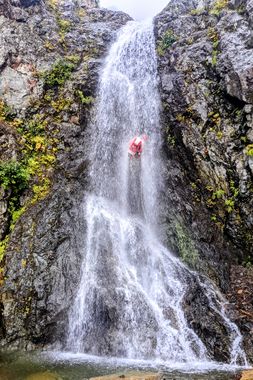
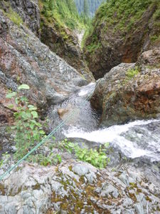
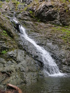
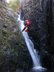
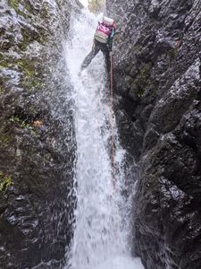
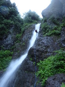
R7, 200ft: Two bolt anchor DCR, rappel is over a series of lower angle small waterfalls, ends DCL near small trees.
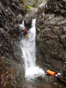
R8, 150ft: Two bolt anchor DCL set slightly back from the lip. Two-stage rappel in the waterflow.
R9, 70ft: Two bolt anchor DCR, largely free hanging rappel ending at a rock pile.
Scramble/walk 200ft feet from the bottom of R8. The stream makes a hard left handed turn. Some parties, depending on conditions, may elect to do a short (10ft) rappel here. Otherwise continue on easy DCR ledges and slabs.
R10, 50ft: from tree anchor DCR, well out of the watercourse (large, overhanging tree limbs). Rappel down a steep slab into a pool below a constricted, narrow drop in the watercourse.
R11, 50ft: Immediately after R10, rappel off 2 bolt anchor DCL. The rappel is forced into the watercourse here, and it is a narrow slot ending in a shallow pool. Named `The Pummeler`, this rappel is probably the canyon's limiting factor in high water conditions.
Walk and scramble 200ft down to the next rappel.
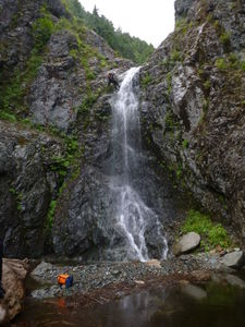
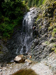
R12, 100ft: Two bolt anchor on rock face DCR, option to rappel in the flow or just along DCR side of the flow.
This is the last rappel, though there is another optional narrow waterfall that you can rappel a bit downstream (easily avoided by simple scrambling).
Exit[edit]
From the pool of the last rappel, stay close to the canyon wall DCL (away from the watercourse), walking and scrambling down easy rock/slabs until that side steepens, cross over to the other side of the stream, descend steep brush back to the stream and walk the now easy streambed down to the car. Do not be tempted to take the old, overgrown road spur back. Note that the majority of the water in the stream vanishes mysteriously (underground, presumably) a few hundred feet before you reach the road and your vehicle.
Red tape[edit]
None.
Beta sites[edit]
Trip reports and media[edit]
Video documenting the approach and each rappel by Yana Radenska on May 29, 2016. The beta above is slightly different from this trip as on a second trip, we modified many of the anchors and consolidated or eliminated some rappels.
