Cougar Canyon (New Mexico)
| Rating: | |||||||||||||||||||||||||||||||
|---|---|---|---|---|---|---|---|---|---|---|---|---|---|---|---|---|---|---|---|---|---|---|---|---|---|---|---|---|---|---|---|
| | Difficulty:3A III (v2a1 IV) Raps:3, max ↨35ft
Red Tape:No permit required Shuttle:None Vehicle:High Clearance Rock type:sandstone | ||||||||||||||||||||||||||||||
| Location: | |||||||||||||||||||||||||||||||
| Condition Reports: | |||||||||||||||||||||||||||||||
| Best season: | May;Jun;Sep;Oct;Nov
|
||||||||||||||||||||||||||||||
| Regions: | |||||||||||||||||||||||||||||||
Introduction[edit]
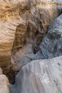
Cougar Canyon is a really fun easy descent through a nicely carved sandstone layer, but it's uphill both ways.
This could be considered a technical canyon for beginners who are strong hikers.
Beware heavy rains impacting dirt road conditions.
Approach[edit]
From the town of Gallina, NM, drive north on French Mesa Rd. Pass an open gate after the roads open in mid-April. Otherwise this gate can be locked spanning the road and preventing access.
Go left at the fork after 6.5 miles to continue on Forest Road 8, which is a better road than Forest Road 11 to the right. Turn left after 4.85 miles onto a dirt road spur heading west. Turn south at a lake/dry lake for a total of 1.25 miles from FR 8. A lower clearance all wheel drive or higher clearance 2WD would probably do fine under dry conditions from Gallina to the parking noted on the kml map.
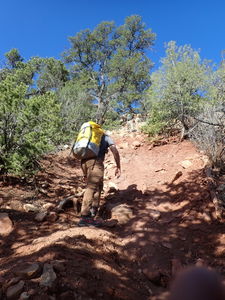
From the parking location, hike due west 0.3 miles +300' elevation to gain the ridge. (gain the same ridge if parking at the alternate parking spot)
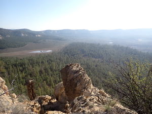
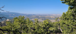
Hike south on the ridge another 0.65 miles to the head of Cougar Canyon and begin the descent.
Descent[edit]
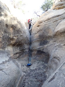
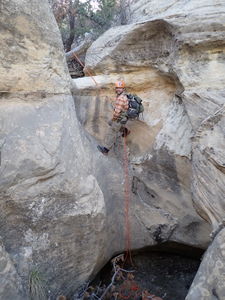
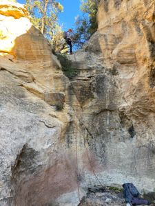
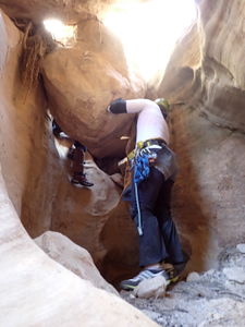
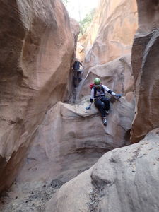
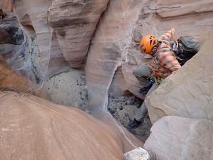
Navigate and downclimb to the first of the quick series of three rappels.
R1: 10' nuisance drop 20' rope required from the slung rock in Canyon Center
R2: 35' from a tree on Canyon Left
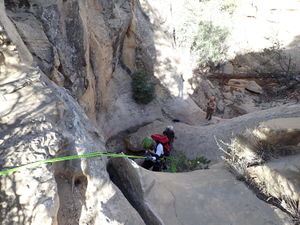
R3: 20' from a tree on Canyon Left
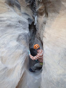
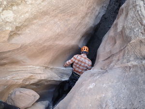
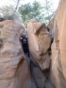
Downclimbs are followed by a squeeze into a rabbit hole under big boulders.
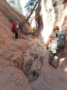
A few elevators and some narrow sections (but never narrower than shoulder width) wrap up the canyon before it opens up at the bottom. All in all a really fun descent!
Exit[edit]
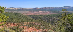
Walk downstream far enough to gain the pine forested ridge on Canyon Left and starting heading back uphill for a total 2.8 miles (+1137' / -477'). Tread as carefully as possible in the bottom sections to avoid the abundant cryptobiotic soil.
Part of this return will be retracing the approach and finding the same path back down the ridge to the parked car below.
Red tape[edit]
Beta sites[edit]
 Doug Scott's New Mexico Slot Canyons : Cougar Canyon
Trip reports and media[edit]
1May2022: Ira Lewis, Andrew Tanasescu, Kati Wright, Dan Kinler
