Dusky Canyon (Daniel Ridge)
| Rating: | |||||||||||||||||||||||||||||||
|---|---|---|---|---|---|---|---|---|---|---|---|---|---|---|---|---|---|---|---|---|---|---|---|---|---|---|---|---|---|---|---|
| | Raps:4, max ↨90ft
Red Tape: Shuttle:None Vehicle:Passenger | ||||||||||||||||||||||||||||||
| Start: | |||||||||||||||||||||||||||||||
| Parking: | |||||||||||||||||||||||||||||||
| Condition Reports: | |||||||||||||||||||||||||||||||
| Best season: | Anytime (avg for this region)
|
||||||||||||||||||||||||||||||
| Regions: | |||||||||||||||||||||||||||||||
Introduction[edit]
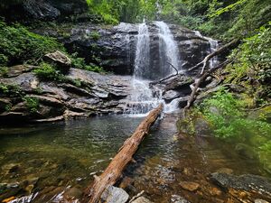
Named for the abundance of Southern Dusky Salamanders, this remote canyon features fun rappels in flow, numerous deep and clear swimmers, and challenging downclimbing. It sits high in the Pisgah Valley, at around 3700’, so plan for cold water temperatures year round. The approach, while long, follows a gradual gain on a well established trail system and isn’t physically difficult. Even with that, this is probably the best intermediate route in the Pisgah Ranger District thus far.
Approach[edit]
Park at the popular Daniel Ridge Trailhead - located off FR475, approximately 4mi from HWY 276. This parking lot fills fast on weekends.
From the lot, hike north on the Daniel Ridge Trail Loop - crossing a bridge over the Davidson River almost immediately. In 0.1mi, you’ll reach a trail split with a sign saying “Falls” and pointing towards the right (northeast). Instead, TAKE THE LEFT (heading northwest) and don’t go towards the “Falls”, which is just Tom Springs Falls.
In 1.8mi from the split, the Daniel Ridge Loop intersects the Farlow Gap Trail. Take a left and head west on the Farlow Gap Trail. You’ll almost immediately cross the Right Fork of the Davidson River and head up a short series of switchbacks - the crux of the approach.
In 1.4mi after the intersection of the Daniel Ridge Loop and Farlow Gap Trail, you’ll cross Daniel RIdge Creek - drop off the trail and begin the creek walk there (35.30291, -82.85856).
Head <0.2mi downstream to the first rap.
Descent[edit]
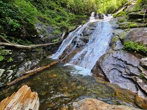
- R1: 20ft (6m) off tree DCL. Neat slide and deep pothole at the bottom. The next rappel is immediately downstream.
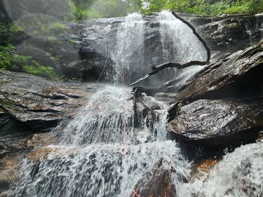
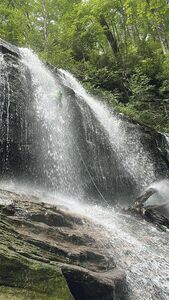
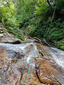
- R2: 80ft (25m) off tree DCR at the bottom of the small cascade. Steep, money pitch rap through solid flow and a small overhang. Finishes at a deep and wide swimmer. The next rappel is immediately downstream.
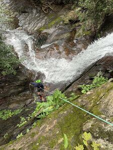
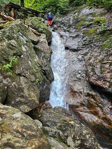
- R3: 90ft (28m) off tree DCR and down a curvy, wide drop. NOTE: Accessing this anchor requires crossing the flow at the top of the first tier of the waterfall. I wouldn’t say it’s notably hard, but I wouldn’t say it’s a mindless walk over either. There is a flat shelf DCL, where you can use a single, small rhodo root to rig a retrievable handline for your group to cross with. If waters are too high to access the DCR anchors, you can get away with rapping off the DCL rhodo, but it’s not a long term anchor for a rappel of that length and will add ~20ft of rope to your rappel, making a 200’ rope not long enough for the pull.
- R4: 50ft (15m) off tree DCR through a narrow, rocky chute into a waist deep pool.
Exit[edit]
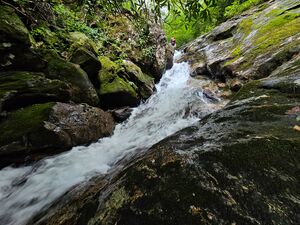
After R4, pack up the rope bags and head downstream. In 0.3 miles, through some fun and challenging downclimbing, Daniel Ridge Creek reaches a confluence with Shuck Ridge Creek. On the DCL (east) side of this confluence, there is an obvious fisherman’s path. This is the sneak exit trail that saves you 0.4mi of creek scrambling that doesn’t get any more technical. Follow this trail for 0.4mi, where it ends at the Daniel Ridge Loop trail. From there, take the Daniel Ridge Loop Trail to the right (southeast) for 1.3mi to the parking lot.
