East Hamongog
| Rating: | |||||||||||||||||||||||||||||||
|---|---|---|---|---|---|---|---|---|---|---|---|---|---|---|---|---|---|---|---|---|---|---|---|---|---|---|---|---|---|---|---|
| | Raps:8-11, max ↨100ft
Red Tape:No permit required Shuttle:Optional 5 min Vehicle:Passenger Rock type:Granite | ||||||||||||||||||||||||||||||
| Start: | |||||||||||||||||||||||||||||||
| Parking: | |||||||||||||||||||||||||||||||
| Shuttle: | |||||||||||||||||||||||||||||||
| Condition Reports: | 22 Sep 2024
"The hike in was not bad and in the fall there were no bees or wasps. Start early the jeep roads to the put in are very hot if it was the middle of th |
||||||||||||||||||||||||||||||
| Best season: | May-Oct
|
||||||||||||||||||||||||||||||
| Regions: | |||||||||||||||||||||||||||||||
Introduction[edit]
This canyon was first explored on 7/23/23 with a team of 4. As the finish to the trifecta (second hamongog & upper fort creek), we saved the best for last. Two team members joined us for this final route. It turned out to be better than imagined, and what I think is one of the best in the region. This route will require a lot of effort compared to anything else in the Wasatch. 2+ hour approach with 2000' vert, and thick vegetation on the exit, etc. But well worth it for the adventurous soul. Bees have been reported in the early summer but not in late summer or fall in this canyon.
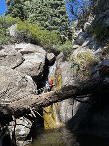
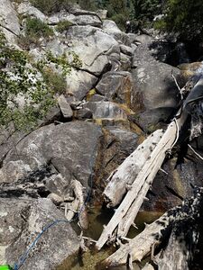
The canyon was ghosted the first time using a fiddle, but after just a few descents, rope marks are becoming prevalent on the birch trees in the canyon. Now there are well placed bolts placed at most drops. However, there are still a few downclimbs that will be difficult in higher flows. This canyon in spring runoff could be a killer based on the placement of the dead wood.
A second descent 8/12/23 as a team of 4, started at Lake Hardy. This upper section added a few widely spaced rappels and was not as noteworthy as the part of the canyon described above.
Approach[edit]
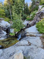
The main road is North Three Falls Way, park on this road and walk up the dirt road to the trailhead. This road now has a gate on it and says no vehicle but has a place for people to enter. This road has a "no trespassing" signs all along it but you can legally walk up the road since it is a right of way. Officially, you should be able to park on this dirt road but the county and the property owner currently are in dispute and I don't want you to get your car towed by the private landowner (per the mayor of Alpine). Starting your hike past the gate, you will stay on the dirt east of Schoolhouse Springs. You will pass through another gate as well. From the SHS approach it is 2.2 miles and 1400 vertical feet to the first meadow where you go right and another 300 vertical and 0.6 miles to get to the drainage. When you get to the creek, head down the drainage, paralleling the creek until (with some small downclimbs) you get to rap 1.
Descent[edit]
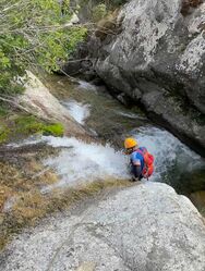
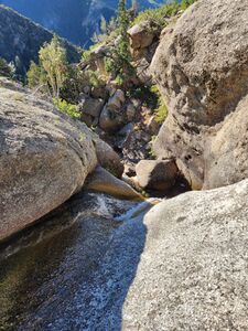
r1: 30' Single bolt DCR
r2: 30' Single bolt DCL
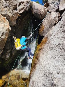
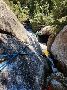
r3: 80' (2-stage) Single bolt DCR (in higher flow, you will want to rig a traverse line from the large tree at the bend of the canyon on DCL to access the anchors on DCR.) Just after this rappel there is a small downclimb. If you have 25' of extra rope, you can rappel it.
r4: Nuisance rappel of 15'. Single Bolt DCR.
r5: 15'. The first of a two-stage rappel that has been broken into two rappel. In the future this will likely be turned into one rappel, but right now the pull would be terrible from the very bottom.
r6: 20'. BEWARE OF THE FALSE FLOOR. Single bolt DCL. Serious false floor here. You will notice that the water disappears before it gets to the edge and reappears as you rappel down and see underneath the false floor. It is recommended that you rig a traverse line from the anchor of r5 to here to protect everyone. The false floor goes back further than you would think, so have everyone stay as far back as possible until it is their turn to rappel.
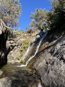
r7:40'. Single bolt DCR into a pool of water. There is a very slippery downclimb after this that would be tough in anything but very low flow. Extend the rappel as necessary.
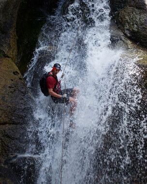
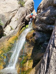
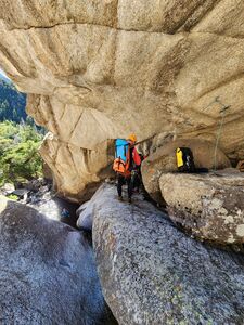
r8: 100'. 2 bolt anchor DCR. These are accessed by hugging the DCR wall and climbing up on the boulder to access them.
r9: 100'. 2 bolt anchor DCL. In moderate-high or high flow, these anchors will be uncomfortable and dangerous to access. Consider using the large tree DCR as high as you can to avoid sticking the rope in the pinch of the initial drop on the pull in higher flows. There are a couple of spots the rope can get stuck in when making this pull. Carefully consider your pull position. You can upclimb the drainage about halfway up in lower flows if you stick a rope.
r10: 40'. Single bolt DCL. Rappel into a pool.
r11: 100'. Single bolt DCR backed up by tree. The rock quality here wasn't the best, so this bolt is backed up by the large tree. This decision was made after installing the bolt and realizing the rock quality wasn't very good.
Exit[edit]
After a few exploration runs, an easy exit option was found by heading down the canyon after the last repel. Within a few hundred yards you will come to a small stream on your left(Chipman Canyon Creek). A user defined trial is started to appear at the start of the left side of the creek for the first 20 yards then cross the creek. At this point head straight up on the right side of this hill for almost exactly 10 minutes where you hit a fairly nice trail. This unmaintained trail leading you down to the private property and a gate. Once you see the fence/boundary turn around and walk back up the road looking for a trail going down the hill. This trail is getting more and more defined as people are using it now. It can be hard to follow. Once down the hill you will hit a flowing creek, cross at the diversion dam that takes water out of the creek and go up the hill and you will be at the Dry Creek Canyon parking lot.
Red tape[edit]
Avoid following the creek into the private property. All the private landowners will prosecute you if they can't you trespassing so please don't do it. Remember to not park on the dirt road at schoolhouse springs you could get towed. Park on the road
Also on the way out don't climb over the fence stay on the social trails
Beta sites[edit]
Trip reports and media[edit]
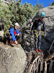
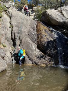
Did this trip on 10/6/25 with only two people in 5 hours car to car. Add more time for the less experienced and higher numbers. A 3mm wet suite was nice as it was 67 degrees that day. Also keep the wet suite on to go up the hill to protect you from all the brush while getting to the trail. You will get wet and for people under 5 foot 5 you will swim once.
