East Yellow Dragon River
| Rating: | |||||||||||||||||||||||||||||||
|---|---|---|---|---|---|---|---|---|---|---|---|---|---|---|---|---|---|---|---|---|---|---|---|---|---|---|---|---|---|---|---|
| | Raps:5, max ↨148ft
Red Tape:No permit required Shuttle: Vehicle:Passenger | ||||||||||||||||||||||||||||||
| Location: | |||||||||||||||||||||||||||||||
| Condition Reports: | |||||||||||||||||||||||||||||||
| Best season: | Feb-OCT (avg for this region)
|
||||||||||||||||||||||||||||||
| Regions: | |||||||||||||||||||||||||||||||
Introduction[edit]
Approach[edit]
By car: Drive to Wong Lung Hang Village and then follow the one-lane road until you get to the boom gate. Park somewhere along the road near the gate. (Beware: The road will be flooded during Thunderstorms)
By MTR: Take MTR to Tung Chung and then a taxi to Wong Lung Hang Village.
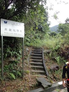
From the boom gate: Follow the road about 200m until you get to a sign from the Water Supplies Department saying "Wong Lung Hang Shaft". Climb the stairs to the right of the sign and follow the way. After about 250m you will come to a dam built by the Water Supplies Department. Hike up the stream, keeping to the left site. (Ignore the signs saying "No Swimming", they only apply the dam area, not the stream) The trail to the top is marked by colored strips of cloth tied to trees, always on the left hand side of the stream.
Descent[edit]
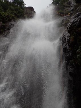
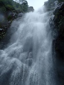
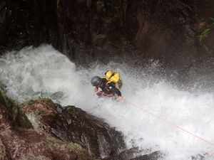
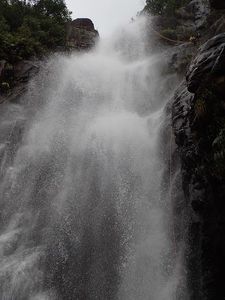
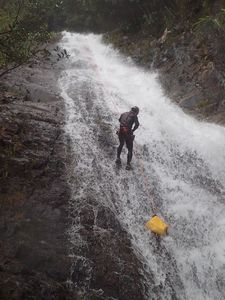
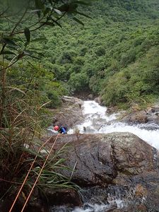
From the topmost fall just rappel down. There are no man-made anchors, tie your ropes around the trees at each fall.
Exit[edit]
After you arrive back at the dam just hike back to the main road.
Red tape[edit]
No permits required. Just stay out of the area around the dam built by the Water Supplies Department.
Beta sites[edit]
Trip reports and media[edit]
Background[edit]
This trip is part of the five Yellow Dragons whose Chinese name is Wong Lung Hang.
GPS map is just an estimate, will update at a later date.
