Fish Creek (Steamboat Springs)
| Rating: | |||||||||||||||||||||||||||||||
|---|---|---|---|---|---|---|---|---|---|---|---|---|---|---|---|---|---|---|---|---|---|---|---|---|---|---|---|---|---|---|---|
| | Raps:7, max ↨110ft
Red Tape:No permit required Shuttle:None Vehicle:Passenger Rock type:Granite | ||||||||||||||||||||||||||||||
| Start: | |||||||||||||||||||||||||||||||
| Parking: | |||||||||||||||||||||||||||||||
| Condition Reports: | |||||||||||||||||||||||||||||||
| Best season: | Jul-Oct; BEST Aug-Sep
|
||||||||||||||||||||||||||||||
| Regions: | |||||||||||||||||||||||||||||||
Introduction[edit]
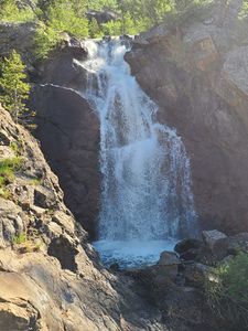
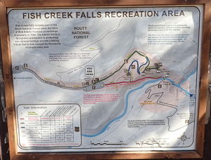
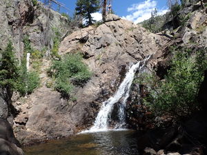
Lower Fish Creek Falls is a very popular trailhead close to the town of Steamboat with a 0.7 out-and-back Overlook Trail and a 4.7 mile out-and-back trail to the upper falls.
Consider doing this descent midweek and/or after school starts in August to avoid congestion in the popular parking lots.
Fish Creek Stream Gauge: https://waterdata.usgs.gov/co/nwis/uv/?site_no=09238900
18cfs is Very High; 8cfs is Low
Approach[edit]
(The Overlook Trail departs from the information sign at the north side of the main parking)
From the parking lot take the trail to the East, staying to the right on the Fish Creek National Recreation Trail -100ft down to the Historic Fish Creek Bridge avoiding the left on the Picnic Trail.
Cross the Lower Historic Bridge and continue uphill for a total 2.25 miles +1440ft. The trail crosses another bridge from the south side of the creek to the north just above Middle Fish Creek Falls.
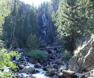
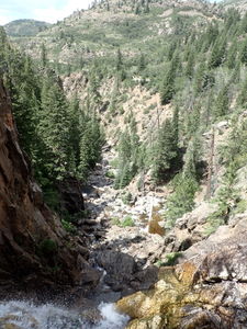
Just after the Upper Falls comes into view, continue on a few switchbacks to the left to get above them and depart the trail when a small gorge comes into view just above the falls. Start here.
Descent[edit]
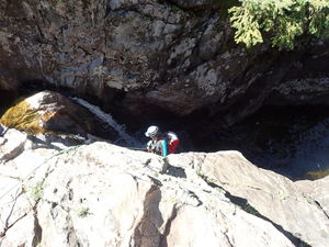
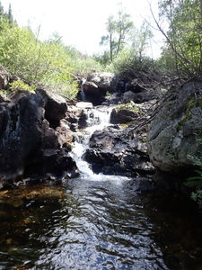
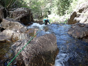
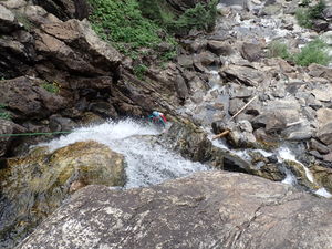
R1: 50' from a retrievable anchor off a large aspen tree set well back from the short 15' waterfall. A slightly longer length would allow for the pull. It is possible to downclimb to get around this drop.
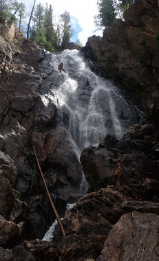
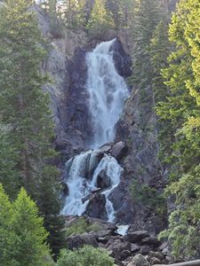
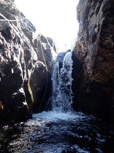
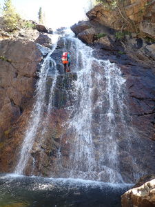
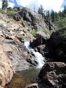
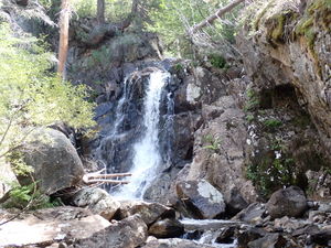
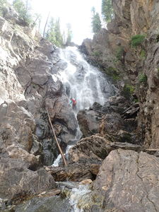
R2: 80' Upper Fish Creek Falls from a tree on Canyon Left
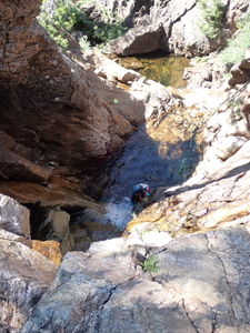
R3: 95' from a rock pinch in Canyon Center for two stages
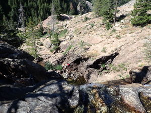
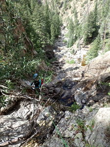
Exit by climbing up a steep gully on Canyon Right at the bottom of the pool after R3. Return to the trail and hike down to the lower portion of the canyon.
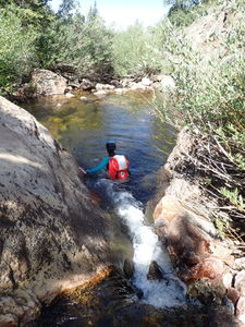
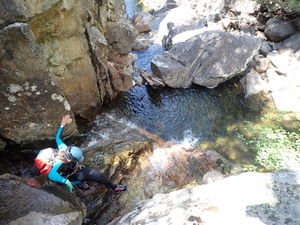
Alternatively, continue downstream for more downclimbing several small waterfalls in this exposed granite section.
When the granite walls start to fade, the stream flattens a bit and the plant life becomes more abundant, exit on Canyon Right when the trail is near. A small side pool is a good landmark.
Continue down the trail to the bridge just above Middle Fish Creek Falls. Re-enter the creek here or keep walking down the trail.
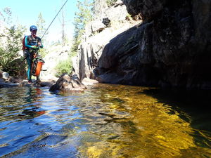
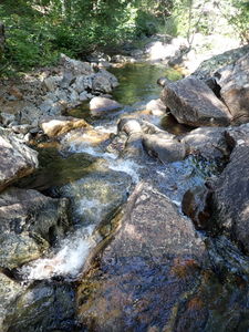
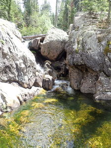
The bridge above Middle Fish Creek Falls to the next rappel is a non-technical half mile of stream walking and several downclimbs (in low water flow) in a pretty granite gorge with small clear pools.
Alternatively, hiking the trail further down from the bridge above Middle Fish Creek Falls, a switchback will cut sharply to the right. When it cuts back to the left, take a social trail into the forest to the north and negotiate upstream in the forest just above R4 to not miss this rappel.
R4: 65' from a rock pinch in Canyon Center. This can be downclimbed on Canyon Left (in lower water flow)
R5: 60' from a tree on Canyon Left, just past R4.
Streamwalk a third of a mile. A stream will join Fish Creek about half way and present a narrower multistage downclimb.
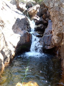
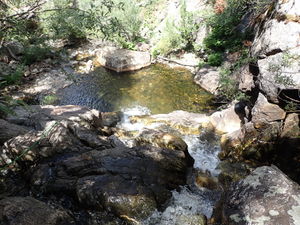
Just before Lower Fish Creek Falls and small waterfall cascades into a deep pool. Bypass this on Canyon Right or choose to set this up as an optional rappel.
Walk overland from the pool on Canyon Right and downclimb around the last few trees in the forest to the anchor sequence for R6: Lower Fish Creek Falls.
R6a: 30' from a tree on Canyon Right to the main rappel anchor
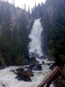
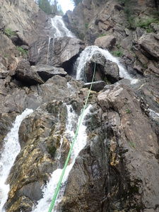
R6b: 110' Lower Fish Creek Falls from two bolted climbing hangers equalized with webbing. Because this waterfall is ice climbed, many anchors exist around this final ledge. Bolts with chains are on Rappeller's Left, which could be used to stay out of the flow at at higher cfs. Another anchor is higher on a tree to Rappeller's Right. More bolts are placed inaccessibly across the flow on Rappeller's Right for winter ascents.
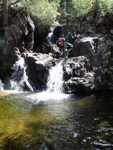
R7: 70' from a rock pinch on Canyon Left. This can be downclimbed on Canyon Right.
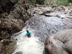
Following R7, a potentially jumpable pool forms on Canyon Left. (validate depth first)
Exit onto the Historic Fish Creek Bridge on Canyon Left.
Exit[edit]
Walk uphill to the parking lot on the approach trail.
Red tape[edit]
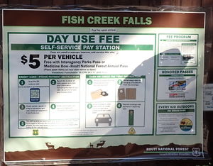
Fish Creek Falls National Recreation Trail requires $5 as a Day Use Parking Fee or displaying a National Parks Pass also covers this requirement.
Beta sites[edit]
Fish Creek Overlook Trail https://www.alltrails.com/explore/trail/us/colorado/fish-creek-falls-overlook-trail--2
Fish Creek Falls Trail https://www.alltrails.com/explore/trail/us/colorado/fish-creek-falls-trail
Rock climbing near Upper Fish Creek Falls https://www.mountainproject.com/area/111326327/upper-fish-creek-falls
Ice Climbing Fish Creek Falls https://www.mountainproject.com/route/106690220/fish-creek-falls
Trip reports and media[edit]
This canyon has been done many times before 2022.
24Aug2022: added to ropewiki by Ira Lewis on a descent with Eva Vaitkus in low water
