Flores Peak C4
| Rating: | |||||||||||||||||||||||||||||||
|---|---|---|---|---|---|---|---|---|---|---|---|---|---|---|---|---|---|---|---|---|---|---|---|---|---|---|---|---|---|---|---|
| | Difficulty:3A III (v3a1 III) Raps:8-9, max ↨120ft
Red Tape:Closed to entry Shuttle:None Vehicle:Passenger Rock type:Mix | ||||||||||||||||||||||||||||||
| Location: | |||||||||||||||||||||||||||||||
| Condition Reports: | 17 Dec 2017
"This canyon turned out to be nicer than expected, having 8 decent rappels (only one that was covered with weeds), and the final one having dry moss an |
||||||||||||||||||||||||||||||
| Best season: | Dec-May
|
||||||||||||||||||||||||||||||
| Regions: | |||||||||||||||||||||||||||||||
Introduction[edit]
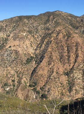
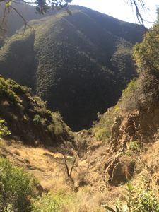
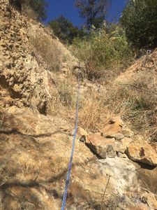
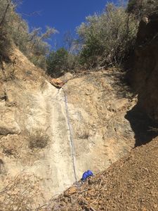
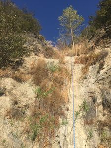
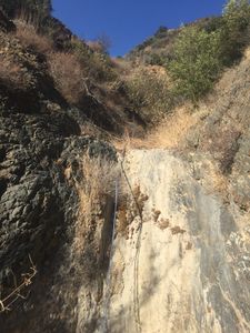
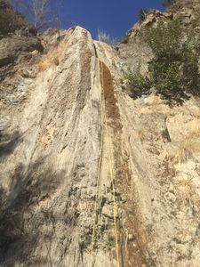
This is one of 10 canyons carving up the south slope of Flores Peak. These are clearly visible from the Harding Truck trail looking North across Harding Canyon (Creek Bed). All are quite steep on average, and offer many short rappels. The last rappel of this canyon (C4) has tufa formations of mud, adding an interesting touch.
Approach[edit]
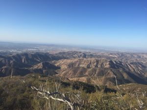
Park at the Tucker Wildlife Sanctuary in Modjeska, CA. Get there early; the lot fills up fast! On the North side of the parking area is the gravel and dirt Harding Truck Trail gated fire road. Hike up this 0.4 miles to the saddle, then veer left down another road 0.2 miles to the Harding Creek basin. Head upstream following the use trail an additional 0.9 miles to a sharp right bend in the trail. From there head directly up the ridge on the North side following the animal runs. The first few hundred feet is crazy steep dirt, but backs off after that. Continue up the ridge gaining 1500 feet elevation to the start coordinates given.
Descent[edit]
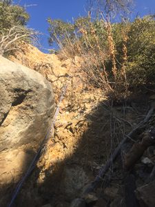
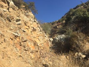
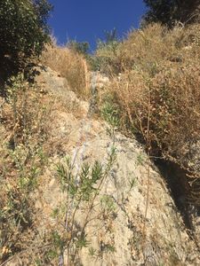
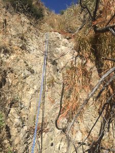
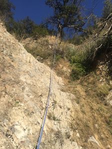
From the start point, head directly south down the steep dirt slope into the canyon proper. Most of the canyon is steep hiking down or easy dry down climbing. Note that some of the down climbing will be quite slick if done after rain, whereas the first decent was totally bone dry. There are 9 rappels; all rigged with minimal webbing anchors (thin webbing on trees, bushes, 1" climb-spec on rocks), except one rappel that was ghosted by wrapping the rope directly around a large fallen dead tree. All the rappels are under 50 feet, most under 25 feet, except the final rappel 9. Rappel 9 has no suitable direct anchor; there is a tree RDC but it's rooted in crumbly rock right at the edge of the drop. So, rappel 8 anchor was used to get all the way down, requiring 120 feet rope from anchor 8 to the bottom of rap 9. Anchor 8 was built with thin webbing around 2 small "marginal" bushes, some 60 feet apart, but mostly inline with the load direction. The upper bush has a 120 foot thin webbing loop to rap rings and the lower bush a few feet with a Rapide. The rappel rope was fed through both anchors, built equal in length so if one fails there will be little extension.
Exit[edit]
After the last rappel, it's 2 minute hike to the main creek. Follow the creek use trail downstream 0.6 miles and you reach the location you left the trail to hike up the ridge. Reverse the approach hike back to your car.
Red tape[edit]
None, Cleveland National Forest Service property
As a result of the Airport Fire Closure this area is closed by the Forest Service from Oct 5th, 2024 to Oct 4th, 2025. See Forest order No. 02-24-29. Also closure map.
