Glen Falls (East Fork Overflow Creek)
| Rating: | |||||||||||||||||||||||||||||||
|---|---|---|---|---|---|---|---|---|---|---|---|---|---|---|---|---|---|---|---|---|---|---|---|---|---|---|---|---|---|---|---|
| | Raps:7-8, max ↨100ft
Red Tape:No permit required Shuttle:Optional 25min Vehicle:Passenger Rock type:Granite | ||||||||||||||||||||||||||||||
| Start: | |||||||||||||||||||||||||||||||
| Parking: | |||||||||||||||||||||||||||||||
| Shuttle: | |||||||||||||||||||||||||||||||
| Condition Reports: | 3 Oct 2025
"Great canyon with some standout fun features if you don’t mind a few spectators. R3 anchor situation is a little convoluted right now, with a pointl |
||||||||||||||||||||||||||||||
| Best season: | Avoid flood stage
|
||||||||||||||||||||||||||||||
| Regions: | |||||||||||||||||||||||||||||||
Introduction[edit]
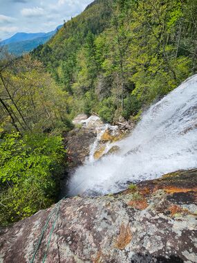
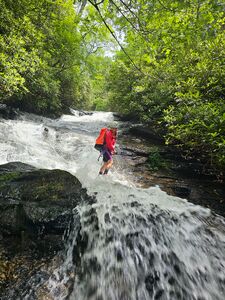
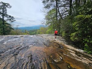
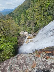
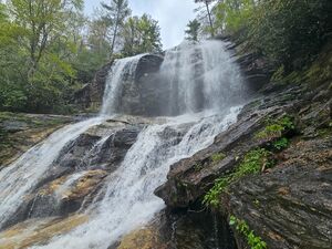
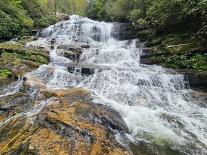
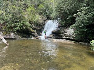
Tumbling off the southeastern flank of Chinquapin Mountain, East Fork Overflow Creek drops an impressive 750+ft in only a half mile. The main event is a 3-tiered, and very well trafficked, waterfall that's collectively named Glen Falls. But don't let that fool you - the rest of the route is no less engaging or exciting. Although touristy on the weekends, this route is quite fun, offers stunning waterfall-top views, an insanely easy approach, and lots of time through flow. It's straightforward enough for beginners and has immediate escape options at each of the first 3 waterfalls.
You can either loop the route or set up an optional shuttle. I highly recommend the shuttle option - no elevation gain and the creek deposits you at your exit car, which is along a dirt forest road featuring several dispersed car camping sites in the secluded Blue Valley. But fear not, looping back to the starting parking lot is along a well maintained trail that is quite mild compared to the usual NC sufferfest bushwhacking.
Approach[edit]
There are three ways to slice this - you can shuttle top-down (*highly recommended*), loop the route - starting at the top, or loop the route - starting at bottom. Aside from shuttling, choosing which way to start your loop hinges on whether you want to knock out the uphill gain at the start or end of the route.
If shuttling, drop your finishing car at the end of the dirt road FR 79C (or East Prong Overflow): 35.02575, -83.23920. This is also the end of the Blue Valley Campground, which is searchable on Google Maps.
After dropping the finishing car, park the starting car at the well known and easily accessible Glen Falls Parking Lot (35.03335, -83.23565). If it's a weekend day in peak season, aim to get there early before the lot fills up. It's recommended to gear and suit (if wearing one) up at the parking lot. Hike the Glen Falls Trail past the kiosk and then left onto the level-graded logging road towards Glen Falls. You'll pass an obvious sign confirming that you are, indeed, headed towards Glen Falls. In 0.15 miles, you'll reach the first viewing platform (35.03225, -83.23749).
If you are starting your loop at the bottom (end) of the route, then hike up to the above mentioned viewing platform (35.03225, -83.23749) and suit/gear up there.
Descent[edit]
Depending on your group and water levels, your descent may have more or less the number of rappels listed here. You may also need to improvise belays or handlines to mitigate changing hazards due to varying conditions.
- (Optional) R1: 40ft (12m) off a rhodo cluster DCL 10' from the viewing platform. This likely could be scrambled in lower summer waters - it's easier than it looks. Otherwise, rap in to a point where you feel comfortable enough to be begin creekwalking unroped. If you are not shuttling, and started the loop from the top parking lot, consider cleaning your anchor on the way out since it's in close proximity to the platform. Continue downstream for 60 yards to the top of R2.
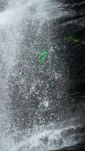
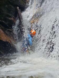
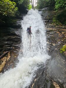
- R2: 100ft (30m) off the large pine DCL, directly in front of the second viewing platform. This is the start of the 3-tiered Glen Falls, and the best rap of the route. Depending on your water levels, you will go through the river left prong, then behind the veil in a small overhang. While the waterfall is only ~80ft, we needed nearly 100ft of rope to get to a safe enough stance to come off rappel. If you are not shuttling, and looping back to the top, consider cleaning your anchor on the way out since it's reachable from the viewing platform. The next tier and rappel is immediately downstream.
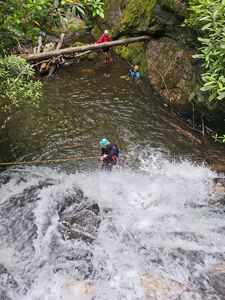
- R3: 85ft (26m) off a rhodo DCL. Ledgy but pretty waterfall. This rap has a brushy start but it's better than any line from the DCR side. After this rap, head down canyon - scrambling or improvising a handline - until you reach the top of a long slide (50').
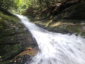
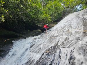
- R4 or Optional Slide: 50ft (15m) off a rhodo cluster DCR. The creek begins to narrow and funnel through a mini channel. It's best to send someone down first on rope to scout out any potential underwater debis/hazards in the landing pothole before anyone slides this section - it's a fast ride.
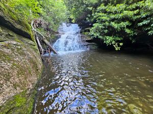
- R5: 15ft (5m) off a high tree DCL into an immediate waist-deep pothole. This is the 3rd and final tier of Glen Falls proper.
Note: The base of R5 is the last convenient place to escape the creek, via the Glen Falls Trail DCL, until it intersects the trail again about 0.25mi downstream.
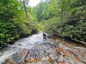
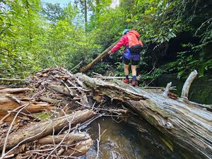
- R6: 55ft (17m) off a tree DCR. Drop into the narrowing section of the creek and through flow. If the fallen log at the top is still there, be mindful of how your ropes are lying to avoid sticking them on the pull. There is another small scramble immediately below this. If that is too spicy for your group, you can create a retrievable anchor off one of the fallen logs there.
- R7: 45ft (14m) off a rhodo cluster DCR. In lower summer flows, this likely could be scrambled.
- R8: 35ft (11m) off a small rhodo root-ball DCL. This rappels ends in a short swimmer.
Continue downstream for another 5-10min, which becomes more of a creekwhack than a creekstomp, until you intersect the Glen Falls Trail again.
Exit[edit]
The Glen Falls Trail intersects the creek again at: 35.02615, -83.23881. There is a handrailing and boardwalk installed on the boulders to help folks cross. Immediately on the right is a set of picnic tables. 100ft pass those is the shuttle car. If looping back to the top, follow the Glen Falls Trail back across the creek and up about 1.3 miles to the starting parking lot.
