Hawthorn Creek (North Cascades)
| Rating: | |||||||||||||||||||||||||||||||
|---|---|---|---|---|---|---|---|---|---|---|---|---|---|---|---|---|---|---|---|---|---|---|---|---|---|---|---|---|---|---|---|
| | Raps:9, max ↨60ft
Red Tape:No permit required Shuttle:None Vehicle:Passenger | ||||||||||||||||||||||||||||||
| Location: | |||||||||||||||||||||||||||||||
| Condition Reports: | 16 Jul 2023
"Road is closed to vehicles and public access Heather Lake trailhead (about 2-2.5 miles before canyon exit). The posted closure is from May 2023 thro |
||||||||||||||||||||||||||||||
| Best season: | Summer to Fall
|
||||||||||||||||||||||||||||||
| Regions: | |||||||||||||||||||||||||||||||
Introduction[edit]
Hawthorn Creek is one of numerous drainages on the north side of the bulky Mount Pilchuck. Unassuming on topographic maps, a quick look either upstream or downstream from the road to the Mt. Pilchuck Trailhead (which the creek crosses) will reveal some of its canyoneering potential. Other than the unfortunate state of the Mt. Pilchuck Road, the approach is simple and quick, and the drainage itself is beautiful - it feels like a canyon in a lot of places but is still easily exited at several points if one does not want to do the entire descent. While many of the rappels are fairly short, there are quite a few of them and you are never far from the next one during the descent. This creek also features some surprisingly deep pools for its size. The creek bed itself is fairly narrow , with the lips of several of the drops forming an even narrower, constricted space, so parts of it will be more hazardous or possibly impassable at high water levels.
Approach[edit]
Drive the Mountain Loop Highway (SR 92) to the well signed and well used Mt. Pilchuck Road, just east of Blue Bridge (road bridge over the South Fork of the Stillaguamish River).
As of June 2021, the state of Mt Pilchuck road has continued to deteriorate. Without at least moderate clearance you can expected a slow & annoying drive with likely scrapes to the underside of your vehicle.
Continue for 3.8 miles to where the road crosses Hawthorn Creek. Parking for several vehicles is available just uphill of the stream crossing.
Walk back down the road 150' or so until you see the easy, non brushy, not too steep way uphill on the left of the canyon (DCR). (Jun 2021 - there's a piece or pink marker tape, followed by a very short but steep climb into the more open forest).
Ascend open forest, generally staying near the drainage. You can also look into the drainage at several points during the ascent if you wish.
At elevation 2490', turn toward the creek, and join it where it leaves out. The first rappel should be just downstream of this point, near a very large overhead tree trunk.
Descent[edit]
A few of these rappels can likely be downclimbed in lower water levels.
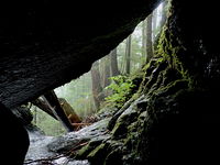
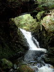
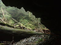
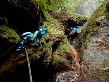
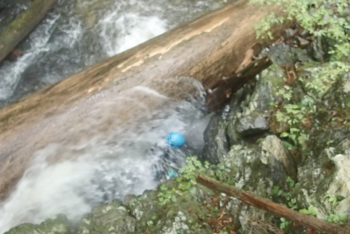
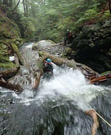
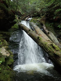
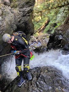
R1: 30' off a tree DCR or DCL into a cool chasm with a giant tree trunk above spanning the drainage (photo below). Even in low flow the pool under the log is surprisingly deep in its center (>6ft). A carefully planned & depth checked jump is possible.
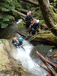
R2: 10' from dead tree DCR (photo below). Or bypassed with down climbed DCR.
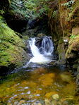
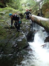
DC1: 20' with a few different options, one option pictured below. Overhead log rigged provide a rap if needed.
R3: 20' off overhead tree DCR (photo below). Short drop into flat open section of canyon.
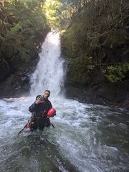
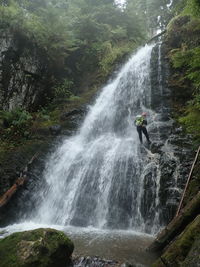
R4: 60' into a pool below.
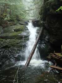
- Dry: DCR through a narrow space formed by an old fallen tree trunk. Some careful footwork can keep you clear of the flow all the way to the bottom. If not so careful end up finishing in a nice pummel at the base of this very narrow waterfall.
- Wet: DCL, step down towards lip of waterfall. Webbing on massive overhead log provides a line in the flow. When the canyon is running moderate-low this is fun, and this rap is probably the highest flow part.
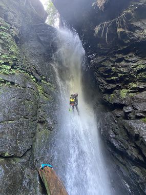
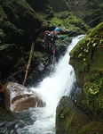
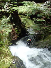
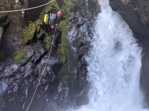
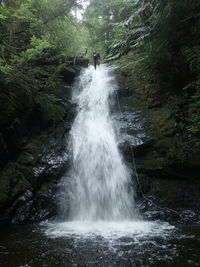
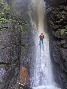
R5: 75' off a tree DCL (photo below). Out of the flow options exist further into the trees.
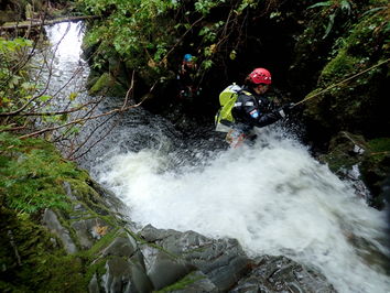
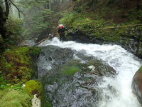
R6: 25' rappel off tree DCR through a veil of horizontally sluicing water (photo below). You can easily avoid this rappel by scrambling a bit further DCR, but why would you???
R7: 25' off a tree trunk laying perpendicular to the water flow (photo below)
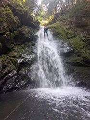
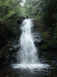
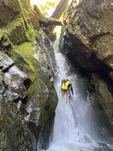
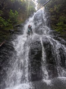
R8: 40' off tree DCR (photo below)
R9: 40' off bolts DCR (photo below)
R10: 60' off small tree DCL before the end of the pool from R9 (photo below). Dry options exist further into the trees DCL, but which still drop you into the variable depth pool.
Bonus Rappel[edit]
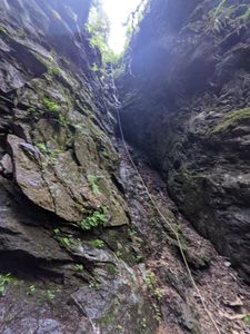
From the road you can glimpse a curious chasm with diagonal walls. This is bonus rappel, and potentially the highlight of the route.
R11: 100' DCL from tree.
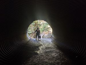
Access: Either scramble down from the bridge, or more adventitiously via the culvert under the road. The culvert and rappel seem to attract high flow, so it likely only possible when the whole canyon is running at moderate-low levels.
Exit
- Fixed line: with a little pre-planning you can drop a rope down the well defined drainage just DCL of the bottom pool. This can be used as a fixed line to ascend the steep drainage safely. Requires the technical know-how to ascend effectively.
- Scramble: from the base of the rappel, climb down the creek a little further and scramble DCR up into the trees, gaining the ridge and better footing. Flow the trees back round to the road.
Exit[edit]
The exit from R10 is obvious and very short.
Red tape[edit]
Beta sites[edit]
Trip reports and media[edit]
Background[edit]
This canyon was first attempted a couple of years ago by Heath Uncapher, Cassandra Sipe, and Yana Radenska. Only one rappel was completed at the time, currently rappel 4. The first descent was on October 24, 2020, by Alec Wagner, Beth Voss, Ryan Fleming, and Yana Radenska.
