http://www.facebook.com/media/set/?set=a.10150103157611103.301850.669366102&type=1&l=204a5955b0
20.8248, -156.1448https://ropewiki.com/images/3/36/Knucklehead_Canyon_%28Wailua_Nui_Stream%29.kmltopo
GPS data automatically extracted from [], please visit their site for more detailed information.
Automatic GPS data extraction NOT allowed, please visit [] to download GPX.
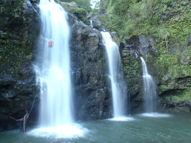
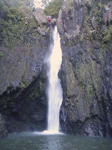
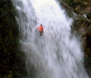
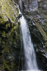
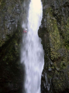
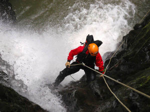
A short and scenic canyon with strong flow most of the year. The provided map and GPS coordinates are for the "Left Fork" section of the canyon, dropping into the canyon earlier will put you into the main section of the canyon. The "Left Fork" is considered the more beautiful and technically challenging section of the two options.
Approach[edit]
This route requires a vehicle shuttle. Park your exit vehicle NE (uphill) of the bridge, in a small gravel turnout on the west (left) side of the road at 20.832567, -156.138134.
Continue up Hana Hwy to the east to a small gravel turnout at 20.822316, -156.136210, walk up to and around the gate and continue up the steep gravel road.
Descent[edit]
Drop into the canyon anywhere in the vicinity of the bridge crossing the stream at: 20.824960, -156.144853
Hike back up to the bridge at Hana Hwy, then drive back east to your trailhead vehicle.
Red tape[edit]
There is legal hunting on the land this canyon and approach hike are located in, primarily on weekends. Pig hunters hunt with dogs that can often be aggressive, be aware and alert. A tell-tale sign that hunters are in the area are large trucks with big metal cages in the bed parked at or near the trailhead.
Do NOT leave any valuables in your car parked along Hana Highway.
Beta sites[edit]
Facebook group: 808canyons
Trip reports and media[edit]
Background[edit]
Named "Knucklehead" canyon for the rubber-necking tourists/haole's that often create a traffic jam at the bridge over Hana Hwy where the last waterfalls of this route are visible from.
First descent of the Left Fork: March 2010; Dave R, Darren J, Keith R, Sandra C, Laura B, Rob K
First descent of the main fork: Darren J and the ATS crew
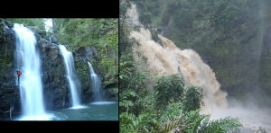
This canyon presents an HIGH/extreme flash flood risk, do not enter if it is raining or forecasted to rain.
Left side of picture: Normal flow
Right side of picture: flash flood
