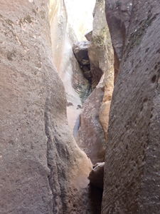
Laguna Canyon
| Rating: | |||||||||||||||||||||||||||||||
|---|---|---|---|---|---|---|---|---|---|---|---|---|---|---|---|---|---|---|---|---|---|---|---|---|---|---|---|---|---|---|---|
| | Difficulty:3A III (v4a1 V) Raps:3, max ↨100ft
Red Tape:No permit required Shuttle:None Vehicle:4WD - High Clearance Rock type:sandstone | ||||||||||||||||||||||||||||||
| Location: | |||||||||||||||||||||||||||||||
| Condition Reports: | |||||||||||||||||||||||||||||||
| Best season: | May;Jun;Sep;Oct;Nov
|
||||||||||||||||||||||||||||||
| Regions: | |||||||||||||||||||||||||||||||
Introduction[edit]
Laguna's rappels might be some of the best in the region, but it suffers from a regional challenge for many of these canyons: lots of effort in some form or another for a dip into the entrada layer.
Laguna's cost comes in the form of the return hike (read on). However, it made for an enjoyable adventure that might be worth doing once. Minus one star for the poor pay to play ratio.
Laguna utilizes upclimbing obstacles in Gallegos, the next canyon to the northwest, and escaping Gallegos when an unclimable rappel is encountered.
Beware heavy rains impacting dirt road conditions.
FYI: Roads shown on the USGS map layer may not match as well as the dirt roads shown on the 2016 Forest Service map layer (caltopo.com has both layers as options).
Approach[edit]
From the town of Gallina, NM, drive north on French Mesa Rd. Pass an open gate after the roads open in mid-April. Otherwise this gate can be locked spanning the road and preventing access.
Go right at the fork after 6.5 miles to continue on Forest Road 11. After another 1.5 miles veer left (due north) to continue on FR 11 and drive on the backside of Laguna Peak. The road was great to this point (fine for subarus) and worsens to prefer 4WD HC.
Continue another 3 miles and turn right (due east) at an intersection and switchback down to a lake/dry lake, which is the parking and decent camping for Gallegos. The road through the switchbacks goes and some of the tighter turns and what look like drop offs at night will make most prefer to tackle this in mid-size trucks although a full size truck did make it just fine.
From the parking, begin hiking the road to the east. A car shuttle could be done. The road continues with more 4WD HC required ruts, but leaving the road to cut cross country to the start of Laguna Canyon happens so quickly, it's easiest to leave the cars at the better camp / Gallegos exit. Follow topo maps or the GPS if taking this path and drop in high enough to avoid the start of the higher sandstone walls of the upper canyon.
Descent[edit]
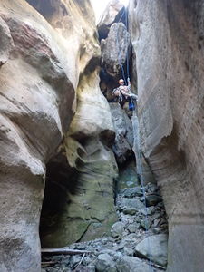
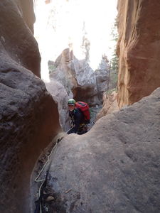
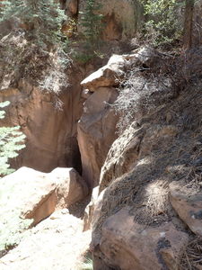
Once in the main drainage, walk easily downstream to the three rappel sequence.
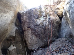
R1: 30' from a releasable off a tree on Canyon Left
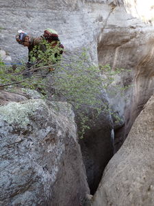
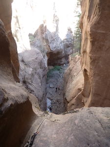
R2: 55' from a large tree set back 25' from the edge. Rappelling on Canyon Left over the dirt slope, while messy, provides less risk of sticking a rope on Canyon Right. (* note this was assessed as a 100' waterfall in earlier beta)
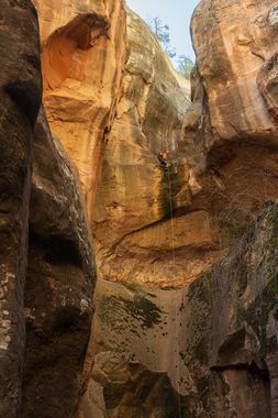
R3: 100' from a deadman anchor set around the corner from the final rappel with free hang. (* note this was assessed as a 200' waterfall in earlier beta). In spring 2022, there was plenty of anchor material at this level to create natural anchors.
Exit[edit]
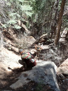
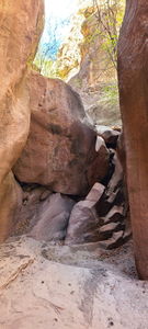
Begin bushwhacking down through blocky sandstone rubble, pine trees with low branches and pokey bushes. 1.4 miles and -730' elevation loss later, depart the Laguna drainage. Try to steal a view of the Little Laguna headwall in that same basin.
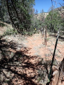
Avoid entering the Gallina Canyon Ranch, which is private property and stay to the south of the barbed wire fencing when traversing northwest to the Gallegos drainage and the rest of the uphill exit.
A dirt road runs on the edge of the private property and makes for a fast half mile of travel. Keep voices low to keep relations positive with landowners on this section. Turn upstream and begin hiking up Gallegos to the southwest when the Gallegos drainage meets the road. A sign for the Anasazi Wilderness Glamping Cabin may be spotted up the road through the trees.
Look for the Little Gallegos headwall to the east side of this larger drainage while hiking 0.7 miles and +350' elevation upstream in Gallegos to reach the first obstacle: a 40' dry fall, which can be skirted by upclimbing on Rappeller's Right (Right Up Canyon).
Doug Scott seems to indicate another possible exit to Rappeller's Left (Left Up Canyon) after this obstacle.
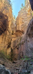
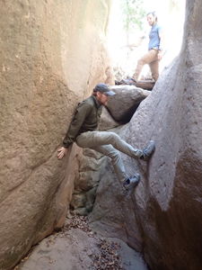
Continuing upstream, surmount a 12' upclimb sending a best climber first. Further upstream travel is halted in a narrow section with a 15' and a 40' rappel seen above, which cannot be upclimbed. Reverse down canyon a short distance and exit the canyon on Canyon Right with a few sandstone slab moves into a looser dirt gully and gain the rim.
Consider hiking further uphill and dropping back into Gallegos, or continue back uphill (2 miles +960') to the car. Roads indicated on this hillside return on the map are regrowing and not driveable today.
Red tape[edit]
Beta sites[edit]
 Doug Scott's New Mexico Slot Canyons : Laguna Canyon
Trip reports and media[edit]
30Apr2022: Ira Lewis, Andrew Tanasescu, Kati Wright, Dan Kinler, Ben Chesebrough
