Ledbetter Creek
| Rating: | |||||||||||||||||||||||||||||||
|---|---|---|---|---|---|---|---|---|---|---|---|---|---|---|---|---|---|---|---|---|---|---|---|---|---|---|---|---|---|---|---|
| | Raps:5-6, max ↨100ft
Red Tape:No permit required Shuttle:None Vehicle:Passenger | ||||||||||||||||||||||||||||||
| Start: | |||||||||||||||||||||||||||||||
| Parking: | |||||||||||||||||||||||||||||||
| Condition Reports: | 18 May 2025
"Near flood stage water levels made this run extremely challenging. Had to improvise several additional rappels, retrievable handlines, and partner ass |
||||||||||||||||||||||||||||||
| Best season: | Anytime (avg for this region)
|
||||||||||||||||||||||||||||||
| Regions: | |||||||||||||||||||||||||||||||
Introduction[edit]
THE NC classic.
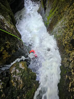
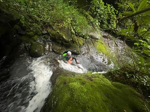
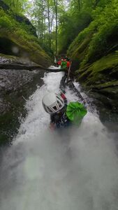
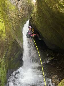
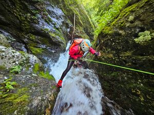
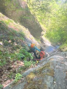
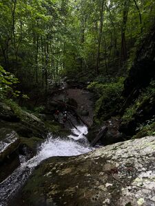
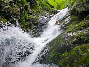
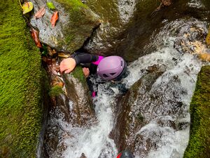
Affectionately known as "The Notch" by locals, Ledbetter Creek is often regarded as a true Class C slot canyon - featuring a stunningly narrow and water sculpted section that feels more akin to the PNW than WNC. This route is wet, fun, technical, and could very well be one of NC's first "canyoneering routes" that's actually in the spirit of the sport. Vibrant scenery, waterslides, potholes, and lots of down scrambling makes this a classic for the Southeast and one not to be missed.
Ledbetter stays relatively cold, even during the summer months. Those who are particularly tolerant and move fast could potentially manage without, but I'd recommend some degree of neoprene year round.
Approach[edit]
From the parking, hike up past the picnic tables and cross the railroad tracks. In a couple minutes, you'll hear the creek and see a camp ring on your left, along with a trail headed towards it. Take this trail, which is the Bartram Trail, past the camp ring and to the footbridge that crosses Ledbetter Creek. Once you cross the bridge, the trail ascends 1,000ft to gain the ridge in about a mile. 1.3 miles from the initial footbridge crossing, the Bartram Trail bumps into Ledbetter Creek again. Suit and gear up there (35.29209, -83.67973). If it's humid out, prepare to suffer a bit on the way up.
Creekstomp downstream for 0.2miles until you reach the entrance slide to The Notch.
Descent[edit]
- S1: 8ft (3m) - slide into the pothole. Be careful of the downed debris and uncontrollably sliding into it.
Continue 50 yards downstream to reach The Notch area.
- (Optional) R1: 8ft (3m) off tree DCL or easy down climb. If rappelled, it is typically ghosted because of its easy nature.
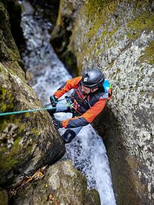
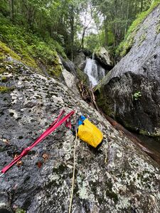
- R2: 15ft (5m) off bolted station DCL. This drops you into Notch Grotto Falls. Bonus points if you flake your rope closer to the pinch-point of the flow.
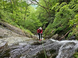
- R3: 50ft (15m) off bolted station DCR. Upper Notch and Notch Falls
*Option 1: Rap 15ft into deep pothole, swim 6ft across, then rap 15ft again over Notch Falls. This ends up needing 50ft of rope.
*Option 2: Rap 15ft into deep pothole, re-anchor off log jams, then rap 15ft over Notch Falls after your entire team has entered the initial pothole. This approach is seasonally dependent, and the stability thereof, but it has been both useful in high flow scenarios and detrimental in large groups due to prolonged cold water exposure.
Continue scrambling downstream a short bit - utilizing partner assists, meat anchors, and/or whatever else is necessary for your groups ability until you reach the head of the 3-tiered Ledbetter Canyon Falls.
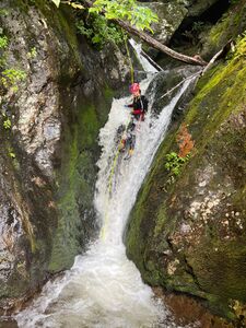
- R4: 75ft (23m) off the big, "Y"-shaped tree DCL. Upper Ledbetter Falls. Note: If waters are high, you may want to stay on rope through the immediate scramble section over the fallen logs after the rappel. This would take ~75ft of rope.
*Option 1: Scamper/rappel over the adjacent boulder and into the creek. Then use the boulder as a redirect to rap through the main flow. You'll slide under a overhang feature. The rope/pull bag can be thrown down the "gully-side" to a team member on the landing below.
*Option 2: If waters are too gnarly, rappel down the gully side and out of the water.
- R5: 75ft (23m) bolted station DCR. Middle Ledbetter Falls. Be careful sticking your rope by letting excess rope/pull lines get sucked into the main flow and over/around the debris - pinching it.
- R6: 90ft (28m) off a tree. This is Ledbetter Falls proper.
Exit[edit]
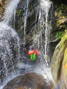
After rapping Ledbetter Falls, you still have about ~0.75miles of epic creek scrambling to go. Depending on your group, you may need to improvise temporary handlines, etc, to get everyone through. Don't miss out on, at least, the first "water keyhole":
Continue downstream until you hit the parking lot (after the tunnel), or until the initial footbridge crossing then hike the approach trail out.
Red tape[edit]
Beta sites[edit]
https://gaeaphotos.com/rappelling-the-notch-a-true-nc-slot-canyon/
