Lower Ute Canyon
| Rating: | |||||||||||||||||||||||||||||||
|---|---|---|---|---|---|---|---|---|---|---|---|---|---|---|---|---|---|---|---|---|---|---|---|---|---|---|---|---|---|---|---|
| | Difficulty:3A II (v3a1 II) Raps:3-4, max ↨165ft
Red Tape:No permit required Shuttle:None Vehicle:Passenger Rock type:Granite | ||||||||||||||||||||||||||||||
| Start: | |||||||||||||||||||||||||||||||
| Parking: | |||||||||||||||||||||||||||||||
| Condition Reports: | 6 Jan 2026
"Ran this as an alternative to ice climbing during an extremely warm winter season. Canyon had potholes with water (some with a thin layer of ice) and |
||||||||||||||||||||||||||||||
| Best season: | Mar-Oct
|
||||||||||||||||||||||||||||||
| Regions: | |||||||||||||||||||||||||||||||
Introduction[edit]
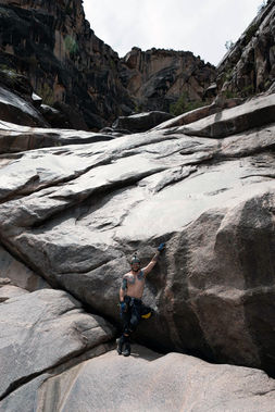
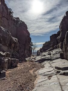
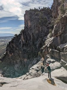
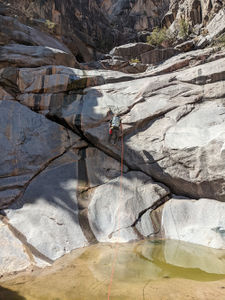
The locals favorite within the Colorado National Monument. This route is extremely unique and scenic as it cuts through a granite layer in the midst of the predominantly sandstone landscape. At the top is a series of small potholes that may contain water and resemble a string of pearls. This should be on the top of everyone's list if they are coming to the Monument to do canyons.
This could be combined with the rappels listed on the "Liberty Cap" page for a longer day.
Approach[edit]
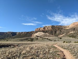
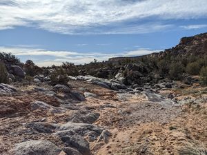
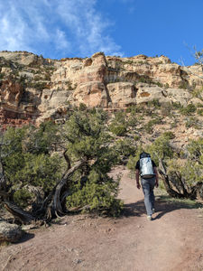
Park at Liberty Cap Trailhead off Wildwood court. As of June 2022, a Colorado National Monument permit is not required to park here. This parking lot is small and fills up fast so get here early on a weekend day. Take either the liberty cap or corkscrew trails (approach shown takes corkscrew to access liberty cap trail) to the top of the bench, then find a use trail following a small wash to get to the top of the canyon.
Pictures of the approach:
Descent[edit]
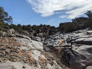
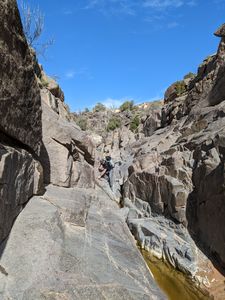
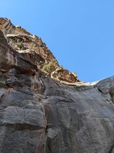
4 raps, to a maximum of 150'. There is abundant anchor material throughout the canyon, and the downclimbs are all very fun.
As of June 2022, all anchors were slung with webbing and rapides or rap rings.
As of 04/06/2025, all raps have bolts.
beta updated 10/27/2025 and new kml added:
If the canyon is holding water, it is possible to skirt all the potholes and keep feet dry.
DC 15'
DC 20' three quick stages of 5', 10', and 5'. Higher on a ledge DCL above the top of this downclimb are two pitons that were used as an old anchor.
R1: 120' bolts DCL
R2: 150' bolts DCR
R3: 100' bolts DCL. DCL as the downclimb path goes, but these really sit in the middle of the watercourse behind a large rock.
R4: 135' bolts DCR. The final 50' is vertical. Optional: rig a traverse line from a boulder anchor to protect getting to these bolts as the rock is polished and can be quite slippery.
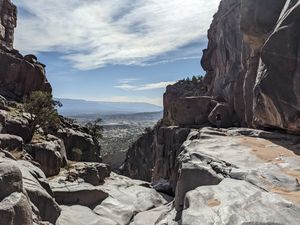
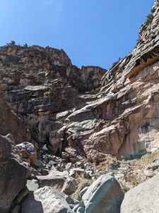
From the last rappel, work through the large blocks. Stop before the large fin of sandstone entering DCL and regroup for the uphill.
Pictures of the descent:
Exit[edit]
Look for a way to reach the top of the sandstone bench on your left after the last rappel. You will likely come across a foot trail that leads up to the top of the bench, then intersects the Corkscrew trail, which will lead back to the parking (or, back to the top of the bench). If you walk down canyon far enough to see a fence, stay inside the fence line and you will need to work your way back up in elevation to find the Corkscrew trail.
Red tape[edit]
While the canyon is in Colorado National Monument, the parking is not, and no permits are required for parking.
