Mary Jane Draw
| Rating: | |||||||||||||||||||||||||||||||
|---|---|---|---|---|---|---|---|---|---|---|---|---|---|---|---|---|---|---|---|---|---|---|---|---|---|---|---|---|---|---|---|
| | Difficulty:4A II (v4a1 IV) Raps:3, max ↨150ft
Red Tape:No permit required Shuttle:Optional 37mi Vehicle:Passenger Rock type:Sandstone | ||||||||||||||||||||||||||||||
| Start: | |||||||||||||||||||||||||||||||
| Parking: | |||||||||||||||||||||||||||||||
| Shuttle: | |||||||||||||||||||||||||||||||
| Condition Reports: | |||||||||||||||||||||||||||||||
| Best season: | spring, fall
|
||||||||||||||||||||||||||||||
| Regions: | |||||||||||||||||||||||||||||||
Introduction[edit]
The Class 4 rating is for the anchor-building requirement, as two of the anchors are deadmen in the watercourse.
- Trailhead: 38.12051,-108.85757
- Approach Breakdown: 38.12329,-108.84551
- Road: 38.12637,-108.84192
- Head of Canyon: 38.12963,-108.84505
Approach[edit]
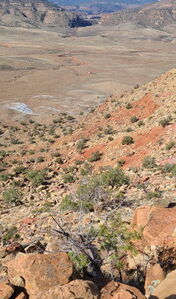
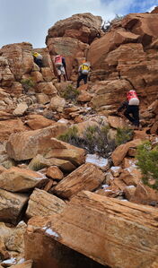
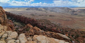
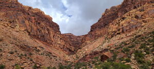
Hike: From the parking at (38.11656, -108.85315) on the interactive map, head up the hillside to the Northeast aiming for waypoints. This off trail path didn't require any hard rock scrambling. Once on top of the mesa, hike to the dirt road and follow this west to the top of the canyon. Cross over a wash rather than taking it to the left. The wash intersects Mary Jane Draw below R1.
Original Beta / Alternate Path: From the Trailhead at (38.12051,-108.85757), hike east cross-country for about 500 feet past a small butte and steep hillside strewn with white rocks. Head north up the wide ravine to the Breakdown in the caprock. This breakdown is an easy scramble to gain the top layer of rock. Once on top of the mesa, head due north for about 1/2 mile to a dirt road. Go left on the dirt road to the Head of the Canyon.
Descent[edit]
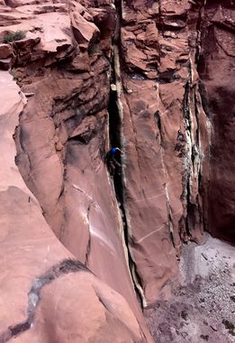
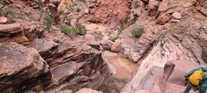
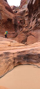
After about 1/4 mile of pleasant creek-walking, reach a large headwall.
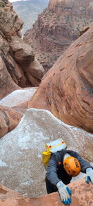
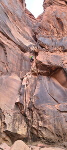
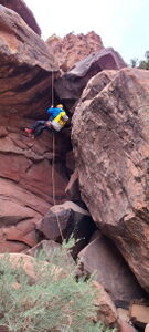
Set up R1 as two-pitch rappel to facilitate rope pull.
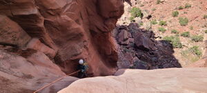
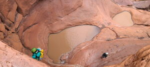
R1a: 120' from a tree on Canyon Left for a 60' rappel. From the tree, downclimb two 10' ledges. A deadman could be also be constructed on the right side of a sand-filled pothole for the 60 foot rappel into a hanging pothole with a large chockstone blocking the exit. Everyone could be sent 150' from the top to the bottom if a deadman is used, but the last person should re-rig at the middle station for rope pull.
R1b: 95' from a chockstone in the pothole in the middle of the headwall.
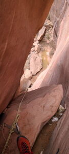
R2: 35' from a tree on Canyon Right near a large amount of breakdown, which might previously have been downclimbable through a rabbit hole.
R3: 120' for a two-stage rappel from a small tree on Canyon Left. This rappel ends near avoidable water-filled potholes, the lower one in the shape of a heart.
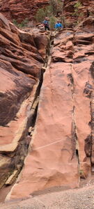
The first stage could be downclimbed via a crack below the small tree.
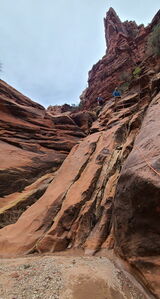
The rest of the canyon can be downclimbed.
Exit[edit]
Boulder-hop down the drainage or slightly over a saddle on Canyon Left to the parking location.
Red tape[edit]
Beta sites[edit]
Trip reports and media[edit]
15Apr2017: added to ropewiki by Logan DeGrand, Erik Burek
6Apr2024: photos, beta and kml updated by Ira Lewis with Andrew Tanasescu, Kati Wright, Wayne Herrick, Rob Demis, Carl Bern, Dan Kinler, Marlene Swift
