Mathers Creek
Jump to navigation
Jump to search
Also known as: Mather Creek.
| Rating: | |||||||||||||||||||||||||||||||
|---|---|---|---|---|---|---|---|---|---|---|---|---|---|---|---|---|---|---|---|---|---|---|---|---|---|---|---|---|---|---|---|
| | Raps:18, max ↨82ft
Red Tape:No permit required Shuttle:None Vehicle:Passenger Rock type:Schist | ||||||||||||||||||||||||||||||
| Start: | |||||||||||||||||||||||||||||||
| Parking: | |||||||||||||||||||||||||||||||
| Condition Reports: | 31 Dec 2024
"A bit higher then when Id done it last March but overall good. Two or three abseils with difficult flow and one or two swims that might be intimidati |
||||||||||||||||||||||||||||||
| Best season: | Dec-Mar
|
||||||||||||||||||||||||||||||
| Regions: | |||||||||||||||||||||||||||||||
Introduction[edit]
The Haast River has Didymo. Be sure to avoid the river on the approach. Or you can wear different shoes and stash them and put on your canyon shoes when past the River section.
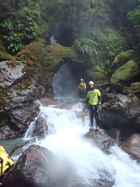
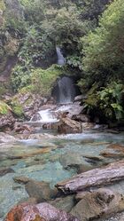
A really cool canyon with a nice variety of features. A worthwhile day, especially if adding on Imp if time allows.
Approach[edit]
Hike up Mather Creek until you get to the last rappel (arch). Check flow and then backtrack a few hundred meters until you see a good footpath that heads up the canyon right side. The path is well tracked for a while and then disappears. Enter the canyon just above the 500m topo line.
Descent[edit]
Exit[edit]
Simple and quick. 15 minutes
Red tape[edit]
Beta sites[edit]
 KiwiCanyons.org : Mathers Creek
 Descente-Canyon.com : Mather Creek
 Icopro.org : Mather Creek
 Icopro.org : Mathers Creek

