Middle Boulder Creek (South Fork)
| Rating: | |||||||||||||||||||||||||||||||
|---|---|---|---|---|---|---|---|---|---|---|---|---|---|---|---|---|---|---|---|---|---|---|---|---|---|---|---|---|---|---|---|
| | Raps:0-5, max ↨30ft
Red Tape:No permit required Shuttle:None Vehicle:Passenger Rock type:Granite | ||||||||||||||||||||||||||||||
| Start: | |||||||||||||||||||||||||||||||
| Parking: | |||||||||||||||||||||||||||||||
| Condition Reports: | |||||||||||||||||||||||||||||||
| Best season: | Sept-Oct
|
||||||||||||||||||||||||||||||
| Regions: | |||||||||||||||||||||||||||||||
Introduction[edit]
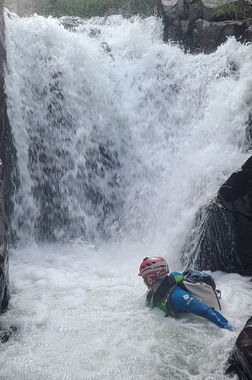
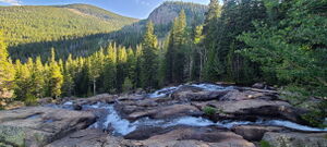
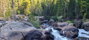
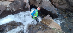
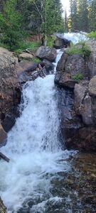
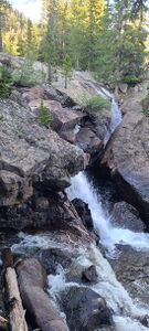
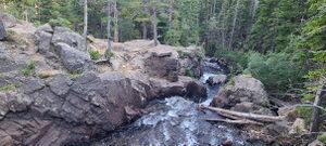
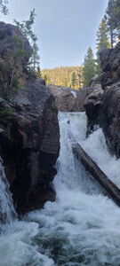
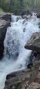
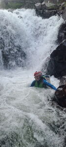
Highland Mary Falls in South Fork Middle Boulder Creek offers many opportunities to practice rappelling in waterfalls, but the route is not a committing canyon.
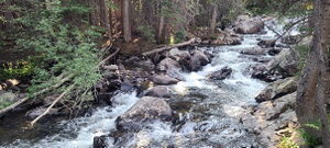
This is an easy hike to play around in the creek with many social trails to skirt small falls or the flat sections of the creek. Therefore, it is marked as a hike rather than a canyon even though it could be used as a good canyoning practice area.
July and early August are generally too soon with big water in the narrowest places. Beware slippery rocks in the streamcourse.
Approach[edit]
Drive: 4.75 miles West of Nederland on Eldora Road. Passenger cars park early at (39.95129, -105.59404).
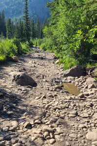
Hike: 0.55 miles on a dirt road left of the split toward the Hessie Trailhead or
High Clearance narrow vehicles can Drive: 0.55 miles to the end of the dirt road by the bridge by the North Fork Middle Boulder Creek.
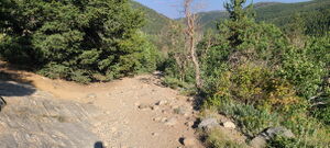
Hike: 0.6 miles on the King Lake Trail toward Lost Lake. Split off the main trail at (39.95601, -105.60908) on a social trail toward South Fork Middle Boulder Creek.
Descent[edit]
Rappelling Opportunities:
Highland Mary Falls: at least three lines are possible for rappelling. Vertical falls are all generally 15-20 ft, but longer ropes up to 100 ft might be helpful for anchor selection
A short 10ft drop just downstream of Highland Mary Falls collecting the full volume of the creek
Two 12 ft falls
20 ft falls into a narrow pushy chute
a shorter narrow chute followed by a 10ft falls, then a 10 ft falls with final low angle cascade
Exit[edit]
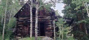
Just after the last final low angle cascade, exit on worn social trails on Canyon Left. Walk past an old cabin and re-intersect the approach trail back to the car.
Red tape[edit]
Beta sites[edit]
Trip reports and media[edit]
2023-08-07 explored by Christian Phipps and Kevin Anderson
2024-07-31 Photos and ropewiki entry added by Ira Lewis with Sean Yarborough
