Montorte 2
Jump to navigation
Jump to search
Also known as: Barranco Montorte 2.
| Rating: | |||||||||||||||||||||||||||||||
|---|---|---|---|---|---|---|---|---|---|---|---|---|---|---|---|---|---|---|---|---|---|---|---|---|---|---|---|---|---|---|---|
|
| |||||||||||||||||||||||||||||||
| | Raps:max ↨328ft
Red Tape: Shuttle:None Rock type:Conglomerate | ||||||||||||||||||||||||||||||
| Location: | APPROXIMATE LOCATION! "°35'30.00"N" can not be assigned to a declared number type with value 42."°30'56.00"W" can not be assigned to a declared number type with value 2.
|
||||||||||||||||||||||||||||||
| Condition Reports: | |||||||||||||||||||||||||||||||
| Best season: | Anytime
|
||||||||||||||||||||||||||||||
| Regions: | |||||||||||||||||||||||||||||||

Introduction
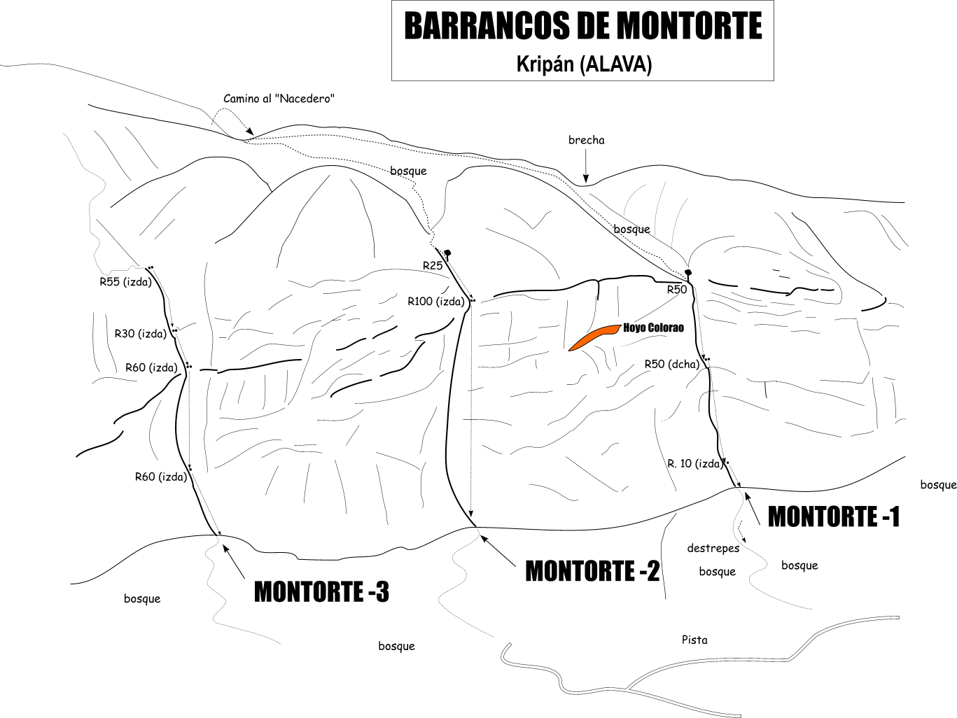
Acceso desde: Kripán (Alava)
Altura de rápel mas largo: 100 m
Información del caudal: Barranco habitualmente seco. Solo escurre algo de agua después de lluvias intensas
Material necesario: Dos de 100 m
Neopreno: No necesario
Material de instalación: Aconsejable llevar material de instalación de repuesto
Epoca: Todo el año
Observaciones: Aconsejable buen manejo de las cuerdas (vertical de 100 m)
Horario de aproximación: 1 h
Horario de descenso: 1 h
Horario de retorno: 35 m
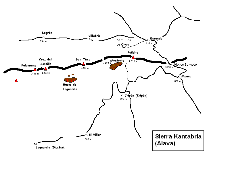
Zona o macizo: sierra cantabria
Cuenca: Ebro
Desnivel: 125 m
Carácter: Abierto
Tipo de roca: Conglomerado calizo
Combinable con el descenso de: Bco. Montorte 1, Bco. Montorte 3, Bco. Balanciego
Approach
Combinación de vehículos: Innecesaria
Misma aproximación que el barranco Montorte 1. Cerca de la cumbre de Montorte hay que dirigirse hacia el oeste a buscar una vaguada y entre el bosque (muy tupido) encontrar las verticales.
Descent
Barranco de características parecidas al de Montorte 1. Dos verticales; una de ellas de 100 m, sin posibilidad de fraccionar.
Escapes: No existen
Exit
El retorno se hace por una pista que bordea la base de la Peña Montorte.
Red tape
Beta sites
 Barranquismo.net : Montorte 2
- Wiki-Infobarrancos : Barrancos del Montorte (http://infobarrancos.es/)
Trip reports and media
Background
Primer descenso: D. Dulanto, F. Tijero, L.M. Mateos. 16/04/2006