Morrison Canyon
| Rating: | |||||||||||||||||||||||||||||||
|---|---|---|---|---|---|---|---|---|---|---|---|---|---|---|---|---|---|---|---|---|---|---|---|---|---|---|---|---|---|---|---|
| | Difficulty:3A II (v3a1 II) Raps:5, max ↨80ft
Red Tape:No permit required Shuttle:None Vehicle:High Clearance Rock type:Sandstone | ||||||||||||||||||||||||||||||
| Start: | |||||||||||||||||||||||||||||||
| Parking: | |||||||||||||||||||||||||||||||
| Condition Reports: | |||||||||||||||||||||||||||||||
| Best season: | Spring or Autumn
|
||||||||||||||||||||||||||||||
| Regions: | |||||||||||||||||||||||||||||||
Introduction[edit]
Morrison Canyon is a short canyon located in the Big Gypsum valley near Slick Rock, a small town along the Dolores river on the Western Slope of Colorado.
This canyon is situated on the Morrison formation known for its Uranium ore mining history, and is downstream of the old Morrison Camp. Caution signs noting that the area may contain radioactive materials are posted on fences in the surrounding areas. The defunct Tailholt Mine, previously used for mining Uranium and Vanadium
Approach[edit]
Driving:
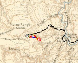
From Slickrock off of SH 141, Turn North onto CR 10 R, a high clearance dirt road. Continue straight for about 6.6 miles until you reach a small pull off on the left hand side. Park here.
Hiking:
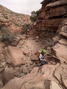
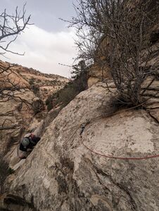
Once parked, proceed down canyon. A large cliff is quickly reached. Work your way down this cliff until the drainage is reached. Continue down the drainage until you reach Upper Morrison Canyon.
Descent[edit]
Upper Morrison Canyon
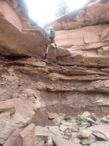
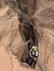
R1: 40' from a Tree DCL down sharp overhung ledges
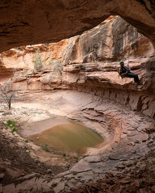
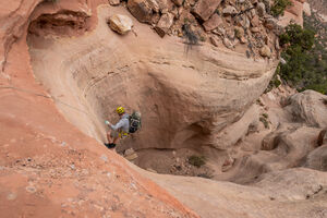
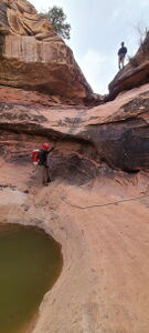
R2: 80' from a wedged boulder center canyon down a 40' sculpted bowl
After R2, the canyon opens up, and some dry creek walking separates the upper portion from the lower. Before reaching the lower, a bench forms that an old jeep resides on. This jeep road can be taken to the canyon exit. Remain in the drainage to continue downward towards Lower Morrison Canyon.
Lower Morrison Canyon
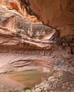
R3: 70' from a Tree DCL. Before descending down a pothole in the drainage, look left for a juniper tree above. The rappel is partially free hanging into a small alcove.
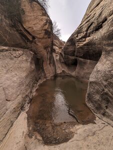
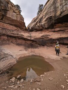
DC: A short drop leads down to a large pool. Once at the bottom of the drop, the pool can be carefully bypassed on a sloped ledge DCL. Several large pools follow, mostly which can be bypassed.
Optional R4: 45' from a tree DCR. Optional rappel to bypass an unavoidable pool. Gain above the unavoidable pool by climbing DCR. A ledge leads to a small but sturdy tree.
R5: 30' from a boulder DCL.
Exit[edit]
Continue descending down canyon. After a short walk, a large drop appears. Do not rappel this drop, and instead, traverse DCL on a ledge. A weakness in the cliff band will appears which can be used to ascend up the to the ledge with the old jeep road. Continue up the old road until a depression from a side drainage appears to the north. Work your way up near this depression until you’re above the cliff edges. Once above, the exit trail opens and flattens. Make your way up to Road Q1, and then follow the road back to your vehicle.
Red tape[edit]
Beta sites[edit]
Trip reports and media[edit]
5April2024: First known descent and beta added to ropewiki; Ira Lewis, Andrew Tanasescu, Kati Wright, Wayne Herrick, Rob Demis, Deanpaul Russell, Carl Bern, Dan Kinler, Marlene Swift
