Noochee Creek
| Rating: | |||||||||||||||||||||||||||||||
|---|---|---|---|---|---|---|---|---|---|---|---|---|---|---|---|---|---|---|---|---|---|---|---|---|---|---|---|---|---|---|---|
| | Raps:5-7, max ↨45ft
Red Tape:No permit required Shuttle:None Vehicle:Passenger | ||||||||||||||||||||||||||||||
| Start: | |||||||||||||||||||||||||||||||
| Parking: | |||||||||||||||||||||||||||||||
| Condition Reports: | 28 Oct 2023
"Halloween freeze-fest! No anchors were found, so likely a first descent. Another nice short destination in the Wynoochee Valley with some beautiful po |
||||||||||||||||||||||||||||||
| Best season: | Jul-Sept
|
||||||||||||||||||||||||||||||
| Regions: | |||||||||||||||||||||||||||||||
Introduction[edit]
While technically called the North Fork of the West Branch Wynoochee River (NFWBWR), that's a bit of a mouthful, so we'll abbreviate that here to Noochee Creek. Another nice short addition to destinations in and around the Wynoochee Valley area. You can probably combine several of these in a single day. Noochee Creek has great access, beautiful pools and rock formations, and can probably be knocked out in a couple of hours.
- The checkpoint for flow is the bridge over the creek.
Approach[edit]
Park in a pullout just west of the bridge. Hike west along the road about 0.3mi (you could shuttle, but why bother?), then turn off right up the old decommissioned road grade (marked as FR 640 on Forest Service maps; FR680 on the east side is also decommissioned). Hike the old road upwards about 0.4mi, then turn off and make your way down open forested slopes to the creek. If look around you should be able to find a place where you can walk right into the creek above R1.
Descent[edit]
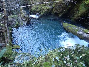
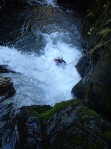
- R1: 40ft from tree set back DCR (more rope required per the horizontal distance). Rappel drops into a deep pool.
- High water: rappel from tree DCL.
- 6ft careful downclimb immediately below the pool. Partner assist might be beneficial here.
- R2: 25ft from tree DCR. Possible jump?
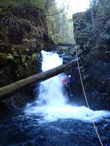
- R3: 15ft from old growth rootball DCL. Drop down through a cannon hole (might be downclimbable?) and make your way out through a cave-like space under the logs. High water: flat jump out past the hydraulic.
- R4: 20ft from thin tree DCL. (Pitch probably should be bolted in future.) Possible jump?
- R5: 12ft from single bolt DCR. Pitch drops ~10ft into a small hanging pool. In high water, you'll be flushed out the far side.
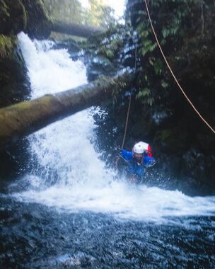
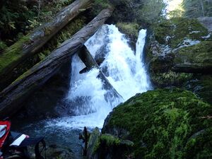
- R6: Noochee Falls - 45ft. The flow splits in two with about 70% going far DCR, and about 30% down a narrow fun-looking chute into a cave-like space behind a veil. Anchors are thin here. (Pitch should probably be bolted for safety.)
- High water: Use a marginal tree to rappel down the dry side of the falls. Use your best "soft start" technique.
- 10ft downclimb DCR over a water-worn rootball. (This will probably become another rappel if the rootball blows out.)
Exit[edit]
Upon reaching the bridge, exit wherever is easiest up to the road.
Red tape[edit]
The northern end of Wynoochee Valley is closed seasonally from Oct 1 through April 30 and is gated at approximately 47.44722, -123.55027 on FR 2270. (Oddly in 2023, the season was extended until November 1.) Access is still legal on foot or by mountain bike. It's about 3.7mi, +560ft elevation gain. from the gate up to the bridge.
Beta sites[edit]
Trip reports and media[edit]
Background[edit]
First explored in October 2023 by Kevin Clark, Wade Hewitt, and Clint Clow.
