Norris Creek
| Rating: | |||||||||||||||||||||||||||||||
|---|---|---|---|---|---|---|---|---|---|---|---|---|---|---|---|---|---|---|---|---|---|---|---|---|---|---|---|---|---|---|---|
| | Raps:1-2, max ↨100ft
Red Tape:No permit required Shuttle:None Vehicle:High Clearance | ||||||||||||||||||||||||||||||
| Start: | |||||||||||||||||||||||||||||||
| Parking: | |||||||||||||||||||||||||||||||
| Condition Reports: | |||||||||||||||||||||||||||||||
| Best season: | Aug-Sep
|
||||||||||||||||||||||||||||||
| Regions: | |||||||||||||||||||||||||||||||
Introduction[edit]
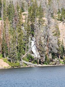
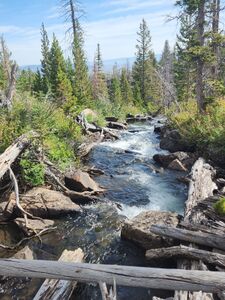
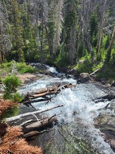
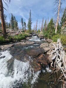
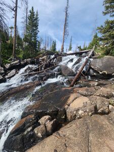
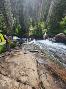
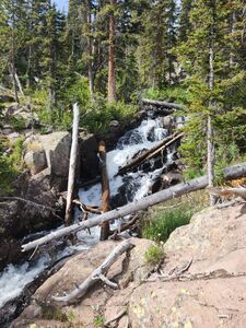
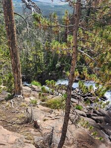
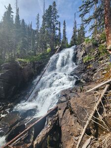
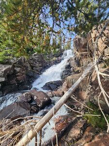
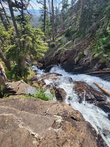
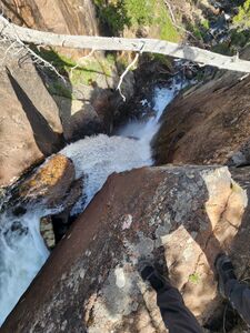
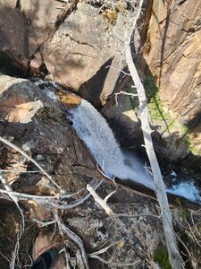
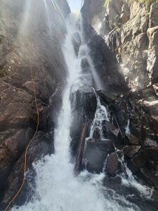
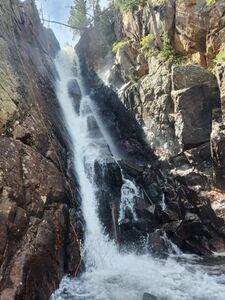
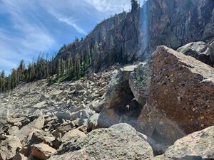
Norris Creek is a long waterfall with hundreds of feet of elevation loss, but is not very narrow or committing and only forms a few slabby waterfalls. The biggest waterfall is the final Norris Creek Falls with at least a 100' rappel if bypassing the flow. Caution: The final narrow chute of Norris Creek Falls had more water volume than was anticipated for the exploration in mid August.
Access is largely via the Rainbow Lakes Trail. The return is off trail through deadfall and talus fields. Slide Lake has a long rock slide waterfall of interest further up the trail.
Approach[edit]
Drive: from Walden, CO drive CR22 18.5 miles west to the Rainbow Lakes Trailhead
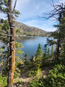
Hike: 2.85 miles to an elevation of 9800' and depart the trail to the north. Trace the shoreline east of Lower Rainbow Lake.
Descent[edit]
Hike next to Norris Creek until the waterfalls below.
R1: 100' for the rappel on Canyon Right out of the flow. Rappelling on Canyon Left is more in the flow and may require a longer rope.
Exit[edit]
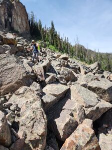
The off trail exit was full of deadfall. The team crossed the big boulder field, then bushwhacked up the hill. Seek the better slabs on the steepest part then navigate many fallen tress to regain the Rainbow Lake Trail.
Red tape[edit]
Beta sites[edit]
https://www.alltrails.com/explore/trail/us/colorado/rainbow-lake-trail
The spur trail up to Slide Lake next to the long rock slide waterfall is contained on the All Trails Roxy Ann Lake Trail.
https://www.alltrails.com/explore/trail/us/colorado/roxy-ann-lake
Trip reports and media[edit]
2023 Aug 20: explored, photos and off trail descent and return portion of the map by Eva Vaitkus

