Ohio Pass Falls
| Rating: | |||||||||||||||||||||||||||||||
|---|---|---|---|---|---|---|---|---|---|---|---|---|---|---|---|---|---|---|---|---|---|---|---|---|---|---|---|---|---|---|---|
| | Raps:3-4, max ↨185ft
Red Tape:No permit required Shuttle:Optional 2.1 miles Vehicle:High Clearance Rock type:Granodiorite and Quartz Monzonite | ||||||||||||||||||||||||||||||
| Start: | |||||||||||||||||||||||||||||||
| Parking: | |||||||||||||||||||||||||||||||
| Shuttle: | |||||||||||||||||||||||||||||||
| Condition Reports: | |||||||||||||||||||||||||||||||
| Best season: | Jun-July
|
||||||||||||||||||||||||||||||
| Regions: | |||||||||||||||||||||||||||||||
Introduction[edit]
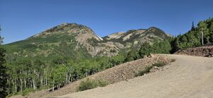
Ohio Pass connects Kebler Pass and Gunnison and is an autumn photography destination when the aspens are turning.
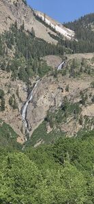
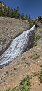
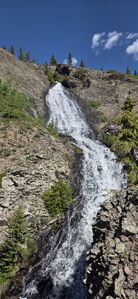
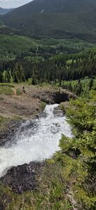
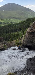
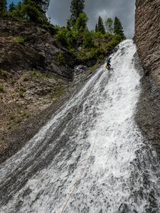
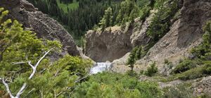
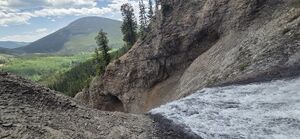
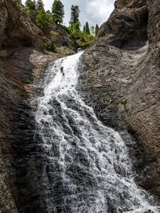
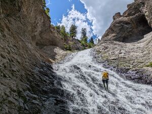
Ohio Pass Falls can be seen from a pullout on Ohio Pass Road and offers a few sequential longer low-angle rappels in a spectacular setting.
These falls drain the East side of the Anthracite Range Laccolith, which is made composed of igneous Grandiorite porphyry and Quartz Monzonite porphyry rock.
Approach[edit]
Park at the trailhead (38.83482, -107.09168) to the overgrown Old Ohio Pass Road. 0.35mi from the trailhead, take a right hand spur trail, which turns uphill to gain the basin above Ohio Pass Falls. Ohio Pass Falls drains an unnamed drainage, which is a tributary to Ohio Creek.
Descent[edit]
R0: 180' from a tree DCR. R0 is low angle and could be bypassed entirely and the route can be started at R1.
R1: 90' from a tree DCR
R2: 150' from a large stump or tree on an outcropping DCR
R3: 185' from a bolt station DCL
DC: 25' DCL
DCs Bypass DCR, then DCL
DC: 10'
Exit[edit]
Hike downstream and depart the creek on game trails to the south.
Either:
- Hike back to the car without a shuttle (distance and times on this page are for this route) by hiking downhill to Ohio Creek, then uphill to the north to intersect the overgrown Old Ohio Pass road grade, or
- Consider setting a shuttle along Ohio Pass Road where it passes Ohio Creek for a fully downhill return.
Red tape[edit]
Beta sites[edit]
Trip reports and media[edit]
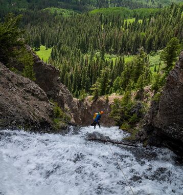
2025-06-20 First known descent by Ira Lewis, Andrew Tanasescu, Carl Bern, Jack Hickisch. Cover Photo by Andrew Tanasescu.
June 2025: A videographer's drone footage of Ohio Pass Falls on YouTube:
