Potato Canyon
| Rating: | |||||||||||||||||||||||||||||||
|---|---|---|---|---|---|---|---|---|---|---|---|---|---|---|---|---|---|---|---|---|---|---|---|---|---|---|---|---|---|---|---|
| | Difficulty:3A IV (v3a1 IV) Raps:
Red Tape:Closed to entry Shuttle:None Vehicle:Passenger Rock type:Sandstone | ||||||||||||||||||||||||||||||
| Location: | |||||||||||||||||||||||||||||||
| Condition Reports: | |||||||||||||||||||||||||||||||
| Best season: | Any, HOT in summer
|
||||||||||||||||||||||||||||||
| Regions: | |||||||||||||||||||||||||||||||
Introduction[edit]
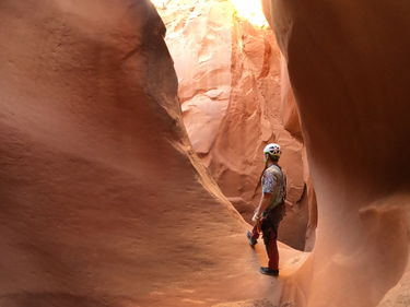
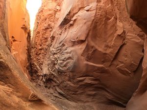
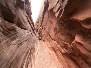
Potato Canyon, the stated name on some topo maps, is a partially explored slot canyon on the Navajo Reservation. The first entry to this slot was February 8, 2020 by Suhei and Lukas Eddy. Initial exploration reveals a beautiful technical canyon.
Subsequent exploration in March 2020 by Lukas Eddy, Ernesto Marrero and Terry Secody have pushed the limit of exploration to the powerlines.
Approach[edit]
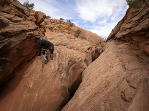
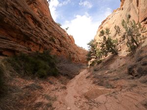
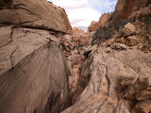
Park at the roadside viewpoint. Walk down the hill to the wash, and follow the wash for 20 minutes to reach the slot. Rig a rappel off a boulder or tree to rappel into the slot. Do not pull your rope; you will need it to ascend. Or, you can do a fun downclimb instead of rappel to enter the slot. Just make sure you can also upclimb it.
Descent[edit]
NOTE: to escape this canyon you will need to leave your ropes, and ascend and upclimb everything that you rappelled and downclimbed to get back to the start of the slot. This is an advanced canyon for this reason.
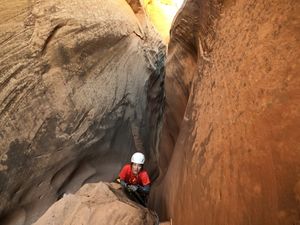
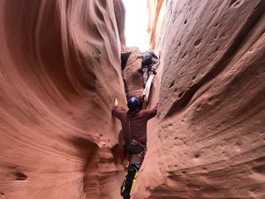
When you come to the slot, traverse up-canyon about 15 feet and downclimb at the obvious beginning of the slot. This downclimb can be upclimbed later, although a partner assist will be required for all but the most skilled.
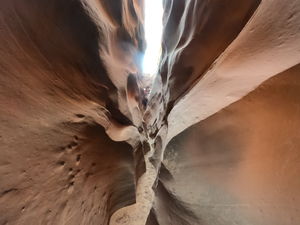
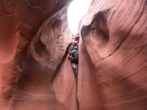
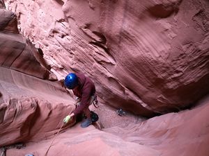
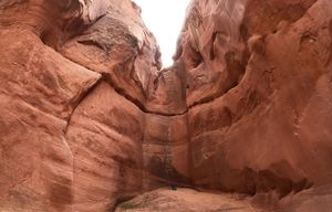
Head down canyon. You will soon come to a tricky-looking downclimb with a log, then another slide-style downclimb, and then a difficult overhanging downclimb that will be difficult for anyone under 5'6" or so, although a partner assist is feasible. After this one, the canyon continues to narrow until another 10-foot downclimb. The large chockstone at this downclimb makes an excellent anchor for the 30 foot rappel just around the corner.
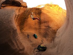
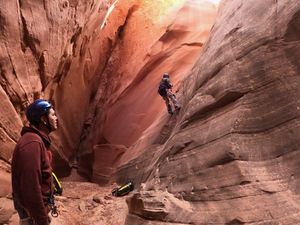
After this 30 foot rappel, there is another 50 foot vertical rappel which can be anchored off of some boulders 30 feet back.
From here, the canyon opens somewhat and involves 20 minutes of walking, passing two small boulder piles.
Eventually, in an open part of the canyon, you will reach a 70-foot rappel with many anchor options. After this rappel, 5 minutes of walking brings you to the current limit of exploration, below which no human has ever set foot. This section, which is under the powerlines visible on satellite maps, appears to have two small reversible downclimbs and two rappels of 30-40 feet before mysteriously turning around a corner, only a few hundred feet shy of the first intersection. What lies in here? Stay tuned to find out.
Please do not bolt this canyon. This is an advanced canyon, and should stay that way. Future parties will be able to run this entire canyon with a sandtrap.
Exit[edit]
No exit has yet been found. The initial exploration parties ascended their ropes.
Satellite images appear to show no hope of any exit. Further explorations which plan to do a thru-trip should have a second party descend and rig neighboring Cheerio Canyon for ascending out of the complex.
Red tape[edit]
Navajo Nation canyons are closed, and several that are open (Waterholes, West Canyon, Big Canyon, etc.) require permits. This canyon is apparently closed to non-native persons.
Beta sites[edit]
Trip reports and media[edit]
Background[edit]
Exploration began February 2020, and is ongoing.
