Purple Ladders
| Rating: | |||||||||||||||||||||||||||||||
|---|---|---|---|---|---|---|---|---|---|---|---|---|---|---|---|---|---|---|---|---|---|---|---|---|---|---|---|---|---|---|---|
| | Difficulty:3A III (v2a1 II) Raps:3, max ↨80ft
Red Tape:No permit required Shuttle:Optional 5m Vehicle:Passenger | ||||||||||||||||||||||||||||||
| Start: | |||||||||||||||||||||||||||||||
| Parking: | |||||||||||||||||||||||||||||||
| Shuttle: | |||||||||||||||||||||||||||||||
| Condition Reports: | |||||||||||||||||||||||||||||||
| Best season: | Oct-Mar
|
||||||||||||||||||||||||||||||
| Regions: | |||||||||||||||||||||||||||||||
Introduction[edit]
We were somewhere around Barstow on the edge of the desert when the drugs began to take hold. I remember saying something like "I feel a bit lightheaded; maybe you should carry the rope..." We needn't have brought all that rope.
The Newberry Mountains lean imposingly toward highway I-40 promising some potential for technical canyons to drivers. Purple Ladders is a relatively easy, half-day canyon for those passing through, or canyoneers who want to increase their confidence with downclimbs. The vibe is Death Valley, sprinkle of Red Rocks, and um... hold the exposure, please.
Approach[edit]
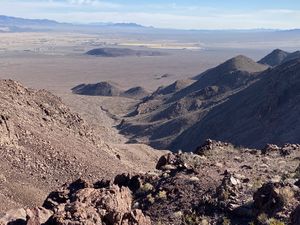
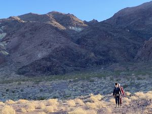
Head for the Newberry Springs Community Center and find a safe place to park. You'll need to skirt some mine land and potentially do some corner crossing. It's possible you could just walk up a mine road, but you may want to skirt their property just off the road. There are likely other easier approaches if you fancy interacting more with mine operations. The hike is generally straight forward, with a small detour to skirt a mesa-like outcrop of rock. In general you'll be hiking and climbing up various small drainages to the peak. One benefit to the approach in the KML is stopping by Newberry Peak as it only adds 100 or so feet of elevation gain/loss and has some fun surprises. After the peak, drop down a gully to the faint mine road and walk up to the drop-in.
Descent[edit]
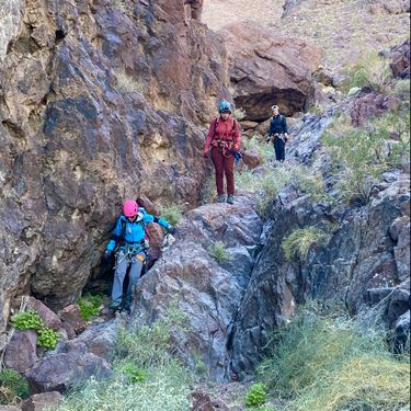
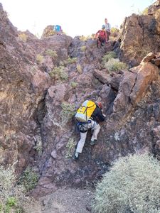
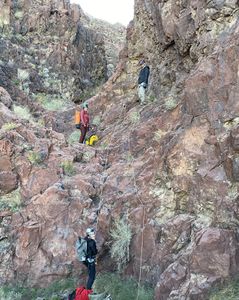
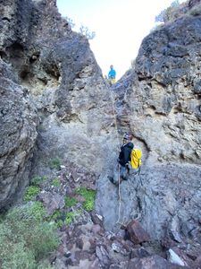
Enjoy the neon Lichen at the drop in. As the namesake implies there are multitudinous delightfully moderate downclimbs.
r1: Optional 60-80ft rap (First descent crew bypassed it canyon left). You'll have more fun if you rig it.
r2: 40ft Soft start fiddle off an arch DCL
r3: 30ft Set of bolts DCR
Exit[edit]
Walk down the alluvial fan to the bar. You know what to do from here.
Shuttling will save ~2 miles of hiking alongside the road.
Red tape[edit]
You may be crossing private mining land. Familiarize yourself with their holdings before you go. On the approach, the road straddles the edge of their land with BLM so if you were to walk up the wash and avoid the road you'll be in good shape. After that you should understand what decisions you're making.
Beta sites[edit]
Trip reports and media[edit]
Background[edit]
First Descent: December 18th, 2022, David Angel, Cat A, Sierra R, Mike T, Tiffany T
