Purple People Eater Canyon
| Rating: | |||||||||||||||||||||||||||||||
|---|---|---|---|---|---|---|---|---|---|---|---|---|---|---|---|---|---|---|---|---|---|---|---|---|---|---|---|---|---|---|---|
| | Raps:7, max ↨170ft
Red Tape:No permit required Shuttle:None Vehicle:High Clearance Rock type:Slate | ||||||||||||||||||||||||||||||
| Start: | |||||||||||||||||||||||||||||||
| Parking: | |||||||||||||||||||||||||||||||
| Condition Reports: | |||||||||||||||||||||||||||||||
| Best season: | July to October, BEST August, September
|
||||||||||||||||||||||||||||||
| Regions: | |||||||||||||||||||||||||||||||
Introduction[edit]
Purple People Eater is a canyon located close to Crested Butte. It exists within the Gunnison National Forest in Gunnison County. Its drainage basin is formed on the east side of Purple Mountain on an elevated shelf that eventually becomes a tributary to the larger, nearby Slate River.
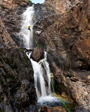
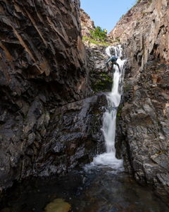
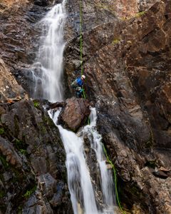
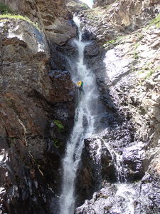
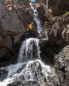
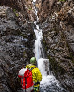
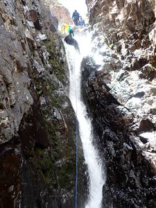
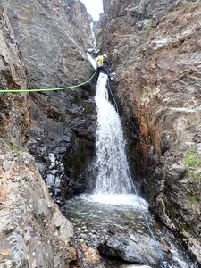
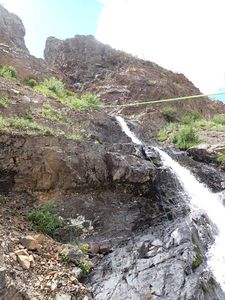
Purple People Eater features a gorgeous technical section with back-to-back drops from start to finish.
Best Practices
- This is a high elevation canyon and does contain cold water. It is recommended that those descending wear a wetsuit.
- The canyon is largely composed of slate with many sharp edges throughout. Be mindful of your ropes as the rocks can easily cut them if not careful. Anchors in the watercourse have been found cut and shredded after only a few weeks after being replaced. The rock is also not conducive to drilling or holding bolts.
Approach[edit]
From Crested Butte, drive north out of town on Gothic Rd till you shortly reach Slate River Road. Take Slate River Road up about 10.2 miles up to some campsites along the Slate River, just before the road steeply switchbacks up towards the Paradise Divide. Parking can be found near the campsites at the end of the road.
The Slate River Road is paved for the initial portion but turns into a graded dirt road as it enters national forest. In its current condition, a high clearance 2WD vehicle would be suitable for reaching the trailhead. A passenger vehicle could make it with careful driving.
On Foot:
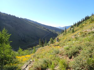
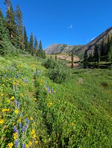
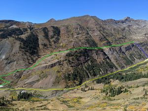
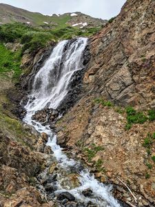
From your parking spot, start hiking towards the Slate River and cross it where appropriate. Just south of the dry falls exists a faint trail that switchbacks up. Follow this trail up as it crosses by the dry falls, slowly working your way up to the large bench above the Slate river. Once on the bench, follow social trails north, passing by two smaller lakes (Peeler Lakes), until you reach a larger tributary to the Slate River, originating in the large basin to the East Purple Mountain. A large fanned out waterfall indicates that you’ve arrived at R1 and the start of the canyon.
Descent[edit]
R1: 95' from a small tree on Canyon Right
R2: 100' from a small tree on Canyon Right
R3: 150' from a rock in Canyon Center set a ways back from the edge
R4: 170' from a rock on Canyon Center
R5: 50' from a rock pinch in Canyon Center
10' Downclimb or optional (R6): 30' from a rock pinch in Canyon Center
R7: 170' from a rock on Canyon Left final three tiers, 30' rappel, shelf, 30' rappel, then smaller ledges below
Exit[edit]
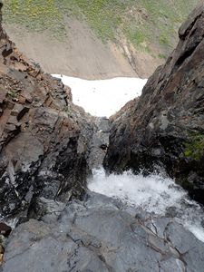
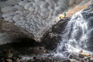
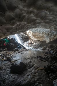
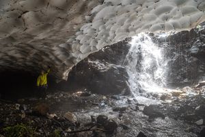
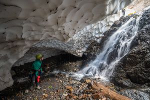
The last rappel finishes on some down climbable benches near a large snow cave.
The bottom falls feeding into the snow cave can be downclimbed, allowing you to explore deeper into the cave. These snow caves can be unstable and can collapse without notice. Explore at your own risk.
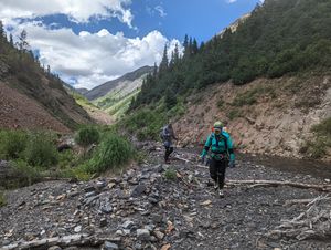
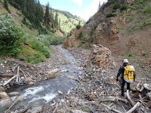
Exit the canyon by hiking downstream atop the large snowfield. Proceed down the Slate River hiking along the river and its banks, occasionally crossing smaller snow fields. Continue down for a little over a mile till you reach the campsites near to where you parked, and eventually your vehicle.
Red tape[edit]
Beta sites[edit]
Trip reports and media[edit]
First descent of canyon (using paragliders to approach): https://youtu.be/aeMiRBKd2to
Aug 13 2022 descended and documented by Ira Lewis, Andrew Tanasescu, Kati Wright, & Dean Brooks.
