Queens Canyon
| Rating: | |||||||||||||||||||||||||||||||
|---|---|---|---|---|---|---|---|---|---|---|---|---|---|---|---|---|---|---|---|---|---|---|---|---|---|---|---|---|---|---|---|
| | Raps:2-3, max ↨60ft
Red Tape:No permit required Shuttle:Optional 10 min Vehicle:Passenger Rock type:Granite | ||||||||||||||||||||||||||||||
| Location: | |||||||||||||||||||||||||||||||
| Condition Reports: | |||||||||||||||||||||||||||||||
| Best season: | May-Sep
|
||||||||||||||||||||||||||||||
| Regions: | |||||||||||||||||||||||||||||||
Introduction[edit]
Dorothy Falls via Queens Canyon had been a popular 1.4 mile out-and-back hiking route near Garden of the Gods in Colorado Springs before the Waldo Canyon Fire in July 2012. The bottom-up approach to the falls is now closed.
https://www.alltrails.com/trail/us/colorado/dorothy-falls-via-queens-canyon [CLOSED]
Parking had been at Glen Eyrie castle, which is private land owned by The Navigators, and is now unavailable.
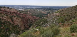
Instead, this canyon can be accessed entirely on BLM land from Rampart Range Road by hiking slight trails and gullies down to the canyon and returning to Rampart Range Road by upclimbing a gully below Dorothy Falls.
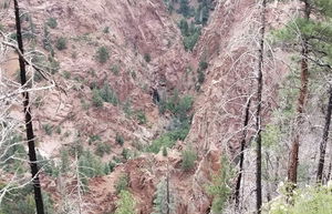
Camp Creek carves Queens Canyon, providing a fun and short descent with interesting features, but with an overland challenge to get into it and back to the road.
From photos online, it seems Camp Creek flows year round. Water is potentially too big in the peak of the spring melt, skip the wetsuits in summer, and someone shared a photo online of flowing water in winter behind a buildup of some ice at the bottom of Dorothy Falls.
Approach[edit]
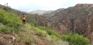
From the upper parking, begin hiking to the north finding faint old trails as available. Either trend downhill in the gully or try to follow the alternate approach called out in another internet reference. Once at the larger, likely dry, tributary at the bottom, continue downstream to Camp Creek.
Descent[edit]
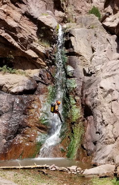
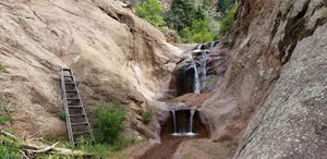
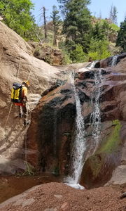
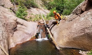
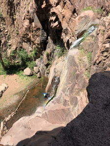
R1: 60' rope length from a tree on Canyon Right to protect a 25' drop. Someone carried an old wooden ladder in to be able to upclimb this drop. R1 is immediately followed by R2/DC.
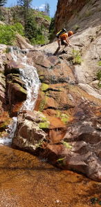
R2/DC: downclimb next to lower flow on Canyon Left. Higher flow may require a rappel.
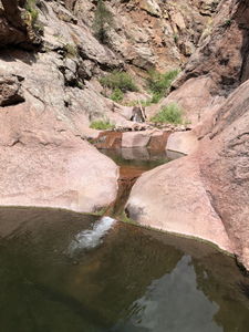
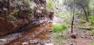
Streamwalk a ways to the potholes.
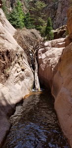
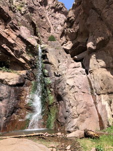
Streamwalk a ways to R3, Dorothy Falls.
R3: 60' from a big slung rock between where higher flow would be split.
Streamwalk a ways to the exit gully.
Exit[edit]
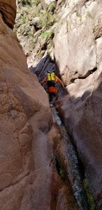
Do not underestimate this exit. For those familiar with Mystery_Canyon in Zion, think Death Gully, but worse and uphill with a few bonus sections of unprotected, exposed 5.0-5.2 rock climbing which are overshadowed by some of the steep, loose dirt sections - sketch exit. For some, the pain of the exit will completely overcome any positives this canyon has to offer. Do not believe the beta box at the top of the page. This is not a 35 minute exit.
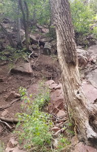
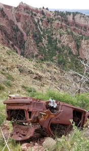
Watch your GPS closely for a waypoint marking a gully on Canyon Right a half mile below Dorothy Falls. An old hardware store rope was in place to help up a dirt slope. Continue straight up the drainage negotiating short stretches of class 4 and easy class 5 rock climbing until you reach a system of faint trails in the wildfire scar, possibly intersecting an old burned out car. Watch your GPS closely to pick trails eventually regaining Rampart Range Road and the return vehicle.
Red tape[edit]
Please see THIS POST on Canyon Collective for some more information: http://web.archive.org/web/20240229153613/http://canyoncollective.com/threads/front-range-colorado-canyons.22081/#post-99869
Beta sites[edit]
Trip reports and media[edit]
2020-07-03 not the first descent, but first to document the canyon on ropewiki. Ira Lewis and Mike Gulsvig. Photos uploaded by both.
