Resonate Canyon
| Rating: | |||||||||||||||||||||||||||||||
|---|---|---|---|---|---|---|---|---|---|---|---|---|---|---|---|---|---|---|---|---|---|---|---|---|---|---|---|---|---|---|---|
| | Difficulty:3A I (v4a1 I) Raps:2, max ↨170ft
Red Tape:No permit required Shuttle:None Vehicle:4WD Rock type:sandstone | ||||||||||||||||||||||||||||||
| Location: | |||||||||||||||||||||||||||||||
| Condition Reports: | |||||||||||||||||||||||||||||||
| Best season: | Srping;Fall
|
||||||||||||||||||||||||||||||
| Regions: | |||||||||||||||||||||||||||||||
Introduction[edit]
The reef in the Northern Swell forms short, east-facing, wide canyons with potholes. Individually these canyons aren't headliners, but together they can make a fun destination and several can be descended in a day.
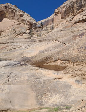
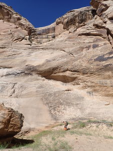
This is named Resonate because there are already many canyons named Echo and there's a neat echo that reverberates against the other side of the fault wall when someone is on the final rappel.
While only two rappels are mandatory, many others could be rappelled that are shown as bypasses on the map.
Getting There[edit]
Drive to TH:
Option 1: From the exit on I-70 for Highway 24, head north on County Rd 1029 (S. Four Corners Mine Rd) up Buckmaster Draw for 4.8 miles. After a curve to the east, continue north on CR 1032 (South Buckmaster Rd) for 2.4 miles to the Junction of South Buckmaster Rd, North Buckmaster Rd and Smith Camp Rd.
Option 2: From I-70, drive north on US Hwy 6/191 for 4.7 miles and exit West onto County Road 1080 (Smith Camp/North Buckmaster Rd) for 2.25 miles to the same Junction.
From the Junction, drive north on CR 1030 (Smith Camp Rd) for 4.3 miles to the junction with Smith Cabin Tidwell Draw Rd and Cottonwood Wash Rd.
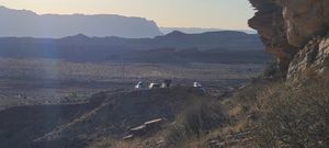
Drive north on Cottonwood Wash for 1.2 miles. When Cottonwood Wash Rd forks to the right, take the spur to the left and go uphill to a large parking area 0.4 miles away.
Approach[edit]
On Foot:
Depart due west aiming for the saddle and hike up the opposite side. A shortcut to the north could be taken after the first large sandstone dome; however, if progressing to the top of the canyon and repeating the explorative trip, then stay in this middle drainage for the approach. Eventually, one will encounter an easy partner assist upclimb into a short narrows, which is fun.
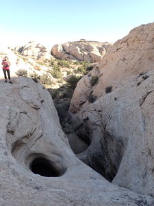
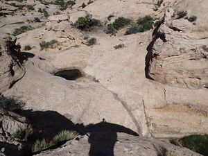
When possible, head south up and over scrambling terrain to intersect the upper portion of Succinct Canyon. Gain the top of the headwall of Succinct and then aim for the saddle separating Resonate Canyon. A rather neat pothole rappel can be bypassed on Canyon Left in the top portion of Resonate. Continue downstream until the first mandatory rappel.
Descent[edit]
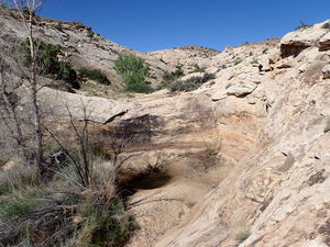
Trees are set back from the pour overs in this region and, as a result, seems to present good opportunities to fiddlestick from a webbing anchor with a rapide to get the anchor point away from brushy vegetation, but still benefit from the fiddlestick reducing rope grooves and pull rope friction.
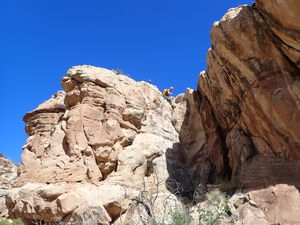
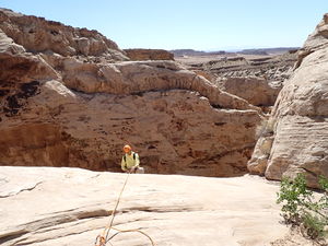
R1: 55' from a tree on Canyon Left
Bypass as many as five interesting pothole rappels on either side of the canyon.
R2: 170' Final Rappel into the fault line from a large rock.
Exit[edit]
Continue downstream then hike uphill to the higher parking location.
Red tape[edit]
Beta sites[edit]
Trip reports and media[edit]
15May2022: Ira Lewis, Eva Vaitkus, Dan Kinler, Neil Marchington, Jeff, Greg Flores
