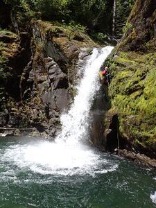
Rock Creek (South Cascades)
| Rating: | |||||||||||||||||||||||||||||||
|---|---|---|---|---|---|---|---|---|---|---|---|---|---|---|---|---|---|---|---|---|---|---|---|---|---|---|---|---|---|---|---|
| | Raps:8, max ↨50ft
Red Tape:No permit required Shuttle:Required 2.3mi Vehicle:Passenger | ||||||||||||||||||||||||||||||
| Start: | |||||||||||||||||||||||||||||||
| Parking: | |||||||||||||||||||||||||||||||
| Shuttle: | |||||||||||||||||||||||||||||||
| Condition Reports: | 19 May 2024
"Great day descending Rock Creek from Alt Rock. That means we skipped the first three rappels. Water was moderate-high so we stayed adjacent/on the edg |
||||||||||||||||||||||||||||||
| Best season: | Apr-Aug
|
||||||||||||||||||||||||||||||
| Regions: | |||||||||||||||||||||||||||||||
Introduction[edit]
Rock Creek is a major drainage flowing into the Columbia River in the town of Stevenson. The upper headwaters of the creek, however, sports a canyon with a number of waterfalls in quick succession. Rock Creek holds good water late into the summer. Rock Creek would get run all the time if it wasn't such a long hike in and out. Recommend getting an early start.
- For a somewhat shorter outing, check out Alt Rock. The approach is easier and you still get to visit the best part of Classic Rock.
- Indie and Post are two other minor tributaries that enter Rock Creek below the technical section.
Directions: Lower Trailhead[edit]
On driving up the hill watch for the place where the PCT crosses. This is the exit. The parking area is 100ft further up the road; a large pullout on the left. Road is rocky in places, but okay for 2WD if driven slowly.
- The best place to check flow is the bridge you cross just before driving up to the lower parking area.
- A Washington State Discovery Pass is NOT required to park here.
- This is also the trailhead for the Upper North Fork of Rock Creek and the other tributaries of Classic Rock.
Directions: Upper Trailhead[edit]
Head back out to Red Bluff road (CG2000) and turn right. Follow the road ~1.8mi to Rock Creek Pass. Find a place to park.
Approach[edit]
From the pass, turn right on an ATV track that climbs steeply up the hill. The track winds around the southern end of a local high point and then heads off northwest. The track is obvious and mostly easy to follow. Follow up and down along the ridgecrest for about 3mi. At about 45.77869, -122.06901, break off the track and bushwhack down into Rock Creek.
Descent[edit]
There are two sets of waterfalls on Classic Rock. The first begins about 100ft downstream of where you entered the creek.
Upper Sequence[edit]
- R1: 35ft.
- R2: 20ft. Big plunge pool can be skirted DCL.
- R3: 50ft into a pool. A short distance downstream is a mandatory pool.
Hike downstream about 0.5mi to the next waterfall sequence. There are a couple features along the way:
- Drop 20ft that can be downclimbed DCL.
- Big bedrock ramp/cascade that's easily downclimbed.
Watch for a tributary (Alt Rock) entering DCL just before the next series of waterfalls.
Lower Sequence[edit]
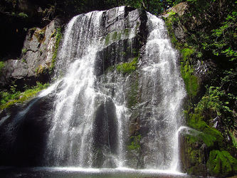
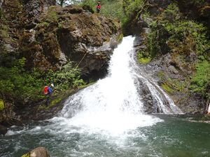
- R4: 35ft. Funnels into a chute with horsetail at the bottom.
- Low water: anchor on a tree far back DCL to run the chute.
- High water: tree DCR.
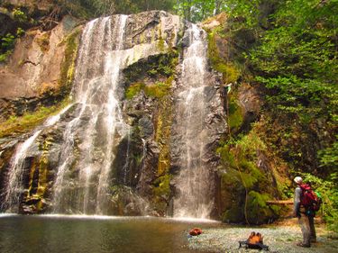
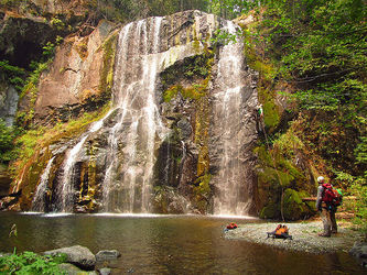
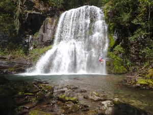
- R5: 45ft highly photogenic falls.
- Low water: anchor on a tree DCR. Given the width of the falls, it may be possible to run the flow most of the year.
- High water: use tree on the edge DCL.
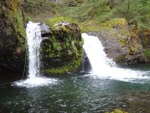
- R6: 20ft. Use anchor DCL to drop down narrow chute to the right of the main falls. Another deep pool below and interesting cave-like space.
- R7: 45ft. Two-tier drop into a swimmer. Hanging pothole between the tiers is chest-deep. Use one of several trees DCL.
It's a short walk to the next falls.
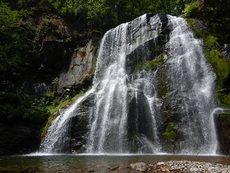
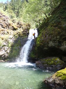
- R8: 30ft. Another giant plunge-pool at the bottom. Anchor is tree high DCL. In higher flow, it's possible to duck down and rappel under the jet.
Exit[edit]
Below the last falls it's ~2mi downstream to the PCT footbridge. Expect it to take a couple of hours. It goes relatively quickly, however, as there's lots of gravel bars and bedrock to hike on. There's almost always an easy way forward. Throw in a couple of short narrows, boulder gardens, and logjam obstacles to keep you busy. Cool off in pools as needed. You will pass the Indie Rock and Post Rock tributaries on the way out.
There are two features that signal you're nearing the end:
- Big logjam: Bear DCR initially, following the water, then climb up/over/through the logs bearing back DCL.
- Blue-green cliff: It's located on the left just past the big logjam.
Exit the bridge DCL and follow the PCT southwest. There's a short climb out of the drainage, then the route is mostly flat thereafter. Follow the trail about 0.5mi back to your car, going straight at the junction with the Snag Creek trail.
Red tape[edit]
It might look appealing to park where the PCT crosses Red Bluff Road (45.76209, -122.04036). Be warned: a Washington State Discovery Pass is required for parking here, even thought it's not signed as such.
Beta sites[edit]
 CanyoneeringNorthwest.com (archive.org) : Rock Creek
Trip reports and media[edit]
Background[edit]
Classic Rock was likely first descended by Evan Topinka. Date is not known.
