Salito Canyon
| Rating: | |||||||||||||||||||||||||||||||
|---|---|---|---|---|---|---|---|---|---|---|---|---|---|---|---|---|---|---|---|---|---|---|---|---|---|---|---|---|---|---|---|
| | Difficulty:3A III (v3a1 III) Raps:4-6, max ↨145ft
Red Tape:No permit required Shuttle:None Vehicle:Passenger Rock type:Sandstone | ||||||||||||||||||||||||||||||
| Location: | |||||||||||||||||||||||||||||||
| Condition Reports: | |||||||||||||||||||||||||||||||
| Best season: | Feb-Apr, Oct-Nov
|
||||||||||||||||||||||||||||||
| Regions: | |||||||||||||||||||||||||||||||
Introduction[edit]
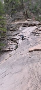
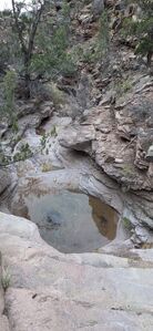
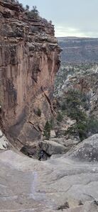
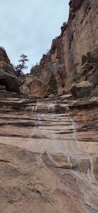
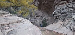
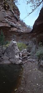
Salito was a fun surprise full of nice rappels, unexpected forests in a few pockets in the canyon, long slickrock canyon sections and lots of downclimbing through large boulders. While the approach is substantial, it provides an interesting challenge upclimbing neighboring gullies. Everyone really appreciated the day. Target a cooler day to avoid baking on the approach.
Original beta from July 2017:
- Parking: 38.54821, -108.94871
- Approach Mid-Point: 38.55323, -108.95661
- Drop In: 38.55816, -108.96792
Salito Canyon is a tributary into Salt Creek, which flows into the Dolores/San Miguel River.
Approach[edit]
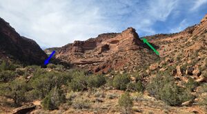
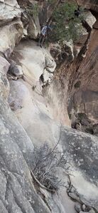
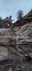
From the parking location, head northwest up the drainage to climb 350' up the steeper gully on the right. It goes, but it's class III in some places working through the cliff bands with a bit of exposure. Some in our party thought this upclimb and the next gully upclimb made this approach more interesting than most. While the track trends toward climber's right, it may be easier to walk up the wash further and hike straight up the alluvial fan of the prow separating the drainages.
Once the steep section fades, continue upstream in the wash until the exposed sandstone begins to lie under loose sand then continue west along the next sandstone wall to the final gully upclimb. It is easier to start the second gully upclimb at (38.55431, -108.96095) on climber's right.
Finish the approach at R1 (38.55797, -108.96790).
Descent[edit]
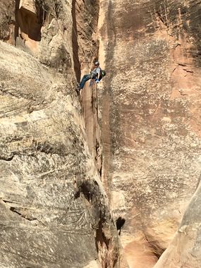
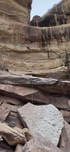
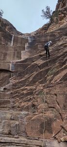
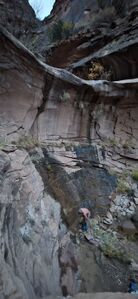
R1: 145' from a tree DCL set back 30' from the lip with 15' extra for the fiddle for a ~100' dry fall.
R2: 105' from a slung chockstone in the watercourse for the first stage. Rappel the second stage for a total distance of 135' or bypass the second stage by downclimbing DCR.
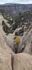
DC DCR immediately following R2 and enter into a surprising forest of tall pines
R3: 95' from a tree on a lower ledge DCL
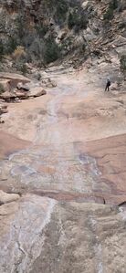
Walk a ways between R3 & R4 including downclimbs over boulders and flat sections of slickrock
(R4: 20') from a small tree DCL or DC DCR
R5: 60' from a rock DCL to rappel over a tricky lip into a deep alcove with a giant cottonwood or bypass on the slopes DCL
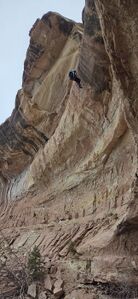
(R6: 145') from a tree DCR for two stages
or DC DCL with a hand line / partner assist for the first stage, then DC DCR for the second stage
Downclimb through boulders in the rest of the drainage until it flattens out and faster walking exists DCL of the overgrown watercourse.
Exit[edit]
Walk the final half mile on the slope north (DCL) of the drainage back to the parking space next to the road.
Red tape[edit]
Beta sites[edit]
Trip reports and media[edit]
Nov 2025 beta text updated, kml and photos added. Ira Lewis, Kyle Preiss, Chris Welsh, Duane & Lyle
