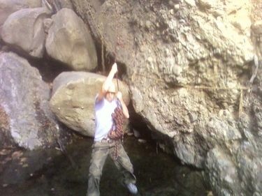
Santa Ynez Canyon
| Rating: | |||||||||||||||||||||||||||||||
|---|---|---|---|---|---|---|---|---|---|---|---|---|---|---|---|---|---|---|---|---|---|---|---|---|---|---|---|---|---|---|---|
| | Difficulty:3B III (v3a2 III) Raps:0-3, max ↨40ft
Red Tape:No permit required Shuttle:Optional Vehicle:Passenger | ||||||||||||||||||||||||||||||
| Location: | |||||||||||||||||||||||||||||||
| Condition Reports: | |||||||||||||||||||||||||||||||
| Best season: | Year round - Avoid after rains
|
||||||||||||||||||||||||||||||
| Regions: | |||||||||||||||||||||||||||||||
Introduction[edit]
This is an excellent introduction to canyoneering and will give people a good opportunity to practice scrambling, down-climbing skills, exposure, and route-finding. Good climbers can ascend and descend with handlines. Others may need to rappel. Best season is winter/early spring when the falls are running. Can be combined with an afternoon at Topanga Beach for a nice day minutes from home if you live on the westside of HelLA.
Approach[edit]
Can be done as a loop hike from either Trippet Ranch in Topanga or from Palisades Highlands, or as a shuttle from one of these points to the other. To get to the Palisades trailhead, take Palisades Drive off of Sunset Boulevard a couple miles up the hill. Just past the retail center make a left on Vereda de la Montura. Park at the bottom of the hill at the trailhead. Head up the Santa Ynez Canyon Trail for about 1/2 mile. When the trail splits, take the right branch up to Santa Ynez Falls. If you get to a cave on the left you have gone too far. From Trippet Ranch parking lot, take the right trail out of the parking lot and up the steep hill to E. Topanga Fire Road. Go left a short distance up this dirt road and up a steep hill. Make a right onto Santa Ynez Canyon Trail, which takes you steeply down and on top of a fin and then into a shady riparian environment. Shortly you will come to a small cave on the right. Continue a short distance and then make a left onto Sant Ynez Falls Trail.
Descent[edit]
Once you make the turn onto Santa Ynez Falls Trail, there will be several stream crossings and you will get to some dry or wet falls depending on the season. There may be handlines in place. Climb up as far as you can. There are a series of falls. The highest are about 40 feet and can be ascended by a fairly skilled climber who can assist the others.
