Serpent's Tongue
| Rating: | |||||||||||||||||||||||||||||||
|---|---|---|---|---|---|---|---|---|---|---|---|---|---|---|---|---|---|---|---|---|---|---|---|---|---|---|---|---|---|---|---|
| | Difficulty:3A I (v2a1 III) Raps:3, max ↨35ft
Red Tape:No permit required Shuttle:Optional 2.3 miles Vehicle:Passenger Rock type:Sandstone | ||||||||||||||||||||||||||||||
| Start: | |||||||||||||||||||||||||||||||
| Parking: | |||||||||||||||||||||||||||||||
| Shuttle: | |||||||||||||||||||||||||||||||
| Condition Reports: | |||||||||||||||||||||||||||||||
| Best season: | any, Hot in Summer
|
||||||||||||||||||||||||||||||
| Regions: | |||||||||||||||||||||||||||||||
Introduction[edit]
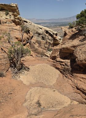
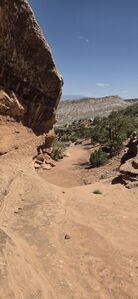
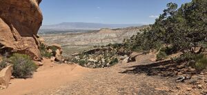
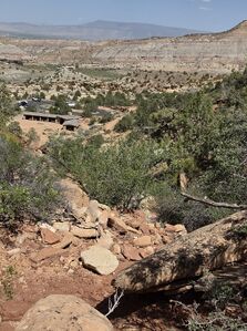
A short canyon with really nice sandstone features and good views back to Grand Junction. This would be a good canyon for beginners with good trail access.
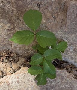
The Poison Ivy below R3 can be avoided.
A car shuttle parked at the top of the Serpent's Trail would eliminate any uphill hiking and take a mile off the approach distance. The stats provided are hiking up from the Devil's Kitchen Trailhead not utilizing a shuttle.
Approach[edit]
Park at the Devil's Kitchen Picnic Area or Devil's Kitchen Trailhead.
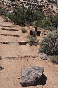
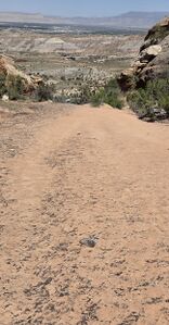
Hike the Serpent's Trail 1.5 miles up to the top of the drainage (39.03201, -108.64145). Depart the trail to the north and begin hiking downstream.
Descent[edit]
Bypass an 8' drop DCR
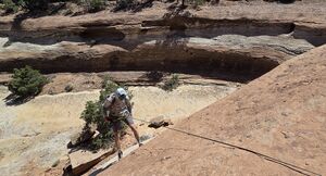
R1: 25' from a juniper DCL. This could potentially be downclimbed in the slight crack further DCL, but might be easier with a spotter to help guide foot placements. It is also possible to downclimb/handline down 6’ of steep slickrock on the right by traversing the ledge 50-100’ past a pinyon pine on DCR.
DC: 5' DCL
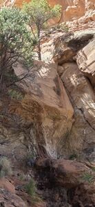
R2: 35' from a pinyon pine on far DCL
R3: 25' fiddled from a juniper DCR. Could also be downclimbed with a belay for all but the last person down the center.
Poison Ivy grows below R3, but the several outcroppings can be avoided.
Exit[edit]
Continue down canyon to the picnic area below.
Red tape[edit]
A National Park's pass or a Colorado National Monument entrance fee is required
Beta sites[edit]
Trip reports and media[edit]
May 2025 beta added to ropewiki. Ira Lewis, Chris Welsh
