Shillelagh (East Fork)
| Rating: | |||||||||||||||||||||||||||||||
|---|---|---|---|---|---|---|---|---|---|---|---|---|---|---|---|---|---|---|---|---|---|---|---|---|---|---|---|---|---|---|---|
| | Difficulty:3A I (v3a1 I) Raps:2, max ↨110ft
Red Tape:No permit required Shuttle:None Vehicle:Passenger Rock type:Sandstone | ||||||||||||||||||||||||||||||
| Location: | |||||||||||||||||||||||||||||||
| Condition Reports: | 27 Nov 2025
"The time is for both forks starting with the left fork. We did a sneak exit a bit down canyon after the last rappel in the left fork in order to shor |
||||||||||||||||||||||||||||||
| Best season: | Any;HOT in Summer
|
||||||||||||||||||||||||||||||
| Regions: | |||||||||||||||||||||||||||||||
Introduction[edit]
Combining both forks of the Shillelaghs into one trip is a good way to see/do these canyons given how short each fork is. Using a shortcut up the west side of the West fork after finishing the Left or East fork bypasses the longer hike that is normally used to get the top of the West fork. This is a description of a trip route rather than the beta for the individual canyons. There is already excellent beta for the Shillelagh canyons from several providers listed below. Both forks have as their highlights two rappels followed by some easy romping through some nice but short slot sections making these canyons perfect for those looking for an easier day or for beginners looking for a great canyon. With that in mind, combining both forks with a shortcut approach, concentrates the fun, the rappels, and the cool scenery into a half or at the latest a leisurely three quarter day.
Approach[edit]
Follow the route provided by one of the beta providers listed below for the right or East fork of Shillelagh. They all use the same route. Upon finishing the left or East fork, once down canyon at the confluence with the left or West Fork, walk up the West fork canyon about 100 yards to where some easily climbed ledges appear. From here it is an easy climb up to the ridge. Follow the edge up canyon to where there is a down climb back into the canyon floor and just above the first rappel.
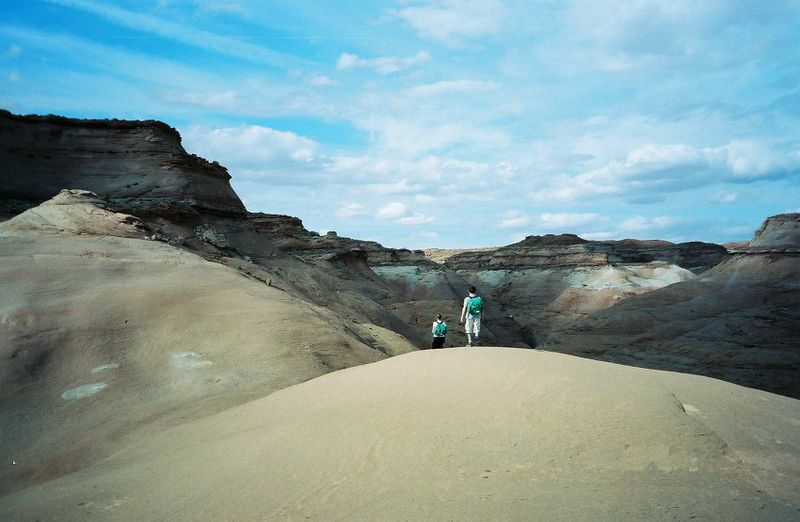
Image below: The East Fork approach up and over the Navajo Sandstone
Descent[edit]
- R1: 45 feet - Anchored from a rock.
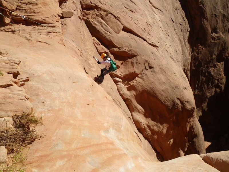
- R2: 110 feet - Anchored from a rock about 30 feet back from the edge.
- Semi-Keeper Pothole: In recent years a pothole has formed at the bottom of R2. Depending on conditions this can be a swimmer or a semi-keeper pothole.
Image below: Second Rappel in the East Fork
Exit[edit]
Walk down the wash to Highway 95.
Red tape[edit]
BLM land.
Beta sites[edit]
 RoadTripRyan.com : Shillelagh Canyon
 BluuGnome.com : Shillelagh Canyon - Right (east) Fork
 ToddsHikingGuide.com : Shillelagh Canyon
 CanyonCollective.com : Shillelagh East Fork
 Climb-Utah.com : Shillelagh Canyon - North Wash
 Super Amazing Map : Shillelagh Right Fork
Trip reports and media[edit]
 SHILLELAGH EVEN-FURTHER: Adam Haydock
 Bogley Forums: Epic Shillelagh May 5, 2019
 Candition.com : Shillelagh Canyon; North Wash
YouTube Video Canyoneering the east Fork of Shillelagh
 YouTube.com : Richard Pattison, Shillelagh Canyon movie
Background[edit]
Named as part of the Irish theme in the area. Shillelagh is the Gaelic name for a walking stick.


