Sky Creek
| Rating: | |||||||||||||||||||||||||||||||
|---|---|---|---|---|---|---|---|---|---|---|---|---|---|---|---|---|---|---|---|---|---|---|---|---|---|---|---|---|---|---|---|
| | Raps:10, max ↨125ft
Red Tape:No permit required Shuttle:Optional 10 min Vehicle:Passenger | ||||||||||||||||||||||||||||||
| Location: | |||||||||||||||||||||||||||||||
| Condition Reports: | 13 Sep 2022
"Straightforward, shallow pools, lots of down climbing. Many short multistage repels, some kind of awkward. |
||||||||||||||||||||||||||||||
| Best season: | Summer, Fall (avg for this region)
|
||||||||||||||||||||||||||||||
| Regions: | |||||||||||||||||||||||||||||||
Introduction[edit]
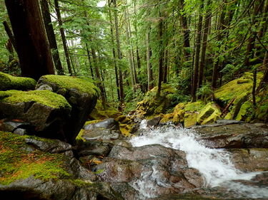
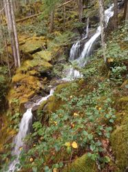
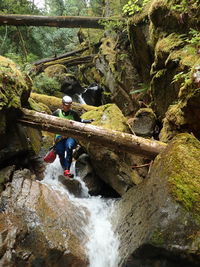
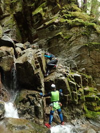
Sky Creek is a tributary of the Skagit River. If you're looking for a training ground to improve your downclimbing, you've found it! Several of the rappels can be bypassed by downclimbing, and much of the travel between anchors is downclimbing. This canyon is much lower flow than Thornton, and as such serves as an excellent back-up plan if you find Thornton is too high for your tastes.
If you are looking for long vertical rappels or hate moss that blankets every horizontal and vertical surface in sight, this canyon is not for you.
Exit is possible through most of the canyon by climbing out either bank.
Approach[edit]
A car shuttle is strongly encouraged. Park one set of vehicles at the confluence of the Sky and the Skagit, and drive the other set up Thornton Lakes Road until you find roadside parking at approximately 48.6379, -121.3318. Suit up and descend to the south until you reach the first rappel at roughly 48.6365, -121.3317.
Descent[edit]
Much of this canyon can be downclimbed. In a few places, the first descent team opted to rappel when a downclimb could have bypassed the rappel. In higher flows, alternate anchors may need to be utilized.
R1: 15'. Rappel off of the roots of a tree DCL.
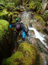
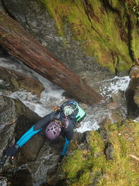
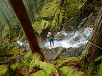
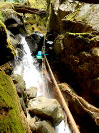
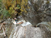
R2: 125'. Two stage rappel. The anchor is a tree DCL. If you want, this rappel can be split into two utilizing trees either DCR or DCL after the first stage. (picture below)
R3: 75'. Bolted anchor DCR. (picture below)
R4: 40'. Tree center channel. Could be downclimbed.
R5: 45'. Bolted anchor DCL. (picture below)
R6: 50'. Tree center channel.
R7: 40'. Tree DCR. Could be bypassed with a downclimb DCL.
R8: 50'. Log across the flow, webbing is on the DCL side of the log.
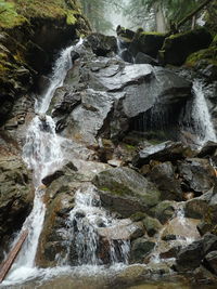
R9: 120'. Multi stage rappel off a bolted anchor DCR. (picture below)
R10: 20'. Tree DCR.
Exit[edit]
Descend the Creek all the way to Highway 20. Cross the road to reach your vehicle.
Red tape[edit]
Beta sites[edit]
Trip reports and media[edit]
Background[edit]
This canyon was first descended on September 22, 2020 by Alec Wagner, Beth Voss, and Yana Radenska.
